Old Maps of Quebec, Montana for Genealogy
Trace your family roots with 12 historic maps of Quebec. These high-res maps reveal old neighborhoods, homesites, landmarks, and streets — helping you uncover where your ancestors lived and how the area evolved over time.
- Explore historic neighborhoods: Identify where your relatives may have lived in the 1800s or 1900s.
- Compare maps over time: Trace the changes in streets, buildings, and landmarks for multi-generational research.
- Perfect for genealogy & ancestry research: Used by family historians and researchers to map out lineage and migration.
These maps are an incredible resource for exploring your personal connection to Quebec's past.
Quebec, MT maps
(12)- 1891 Map of Big Timber
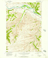
 1891 Big Timber1891 Print · USGSMontana ranching country and the Yellowstone valley are captured here in the late nineteenth century. Trace the early Northern Pacific Railroad line through Big Timber and Greycliff, or locate the Harrison Ferry crossing.
 - 1893 Map of Big Timber
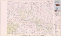
 1893 Big Timber1893 Print · USGSBig Timber and the Yellowstone valley appear here during the expansion of the rail-and-river economy in the late nineteenth century. Researchers can trace the original Northern Pacific Railroad route and locate early river crossings like Harrison Ferry and settlements at Greycliff.4 unique versions available
 - 1954 Map of Billings, 1963 Print
 1954 Billings1963 Print · USGSThe Yellowstone valley during the mid-fifties shows a landscape of thriving rail towns and high-mountain outposts. Genealogists and historians can trace old homesteads and mining routes near Red Lodge, Bearcreek, and along the Bighorn River.4 unique versions available
 - 1956 Map of Work Creek, 1957 Print
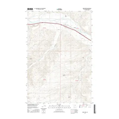
 1956 Work Creek1957 Print · USGSThe Yellowstone River corridor in Sweet Grass County reveals its frontier history in the mid-1950s, following the Northern Pacific tracks. Genealogists and historians can locate the Thomas Massacre Graves, the Bozeman Trail, and the Kent Sch.3 unique versions available
 - 1957 Map of Billings
 1957 Billings1957 Print · USGSThe Yellowstone River valley and the rugged Beartooth Mountains meet in the mid-1950s near the growing hub of Billings. Genealogists and researchers can trace rail and ranching history through river towns like Columbus, the mining heritage of Red Lodge, and the vast Crow Indian Reservation.
 - 1958 Map of Billings
 1958 Billings1958 Print · USGSMid-century Montana comes alive in this survey of the Yellowstone Valley as the regional rail and road networks reached their peak. Trace family roots and old routes near Billings, the Crow Indian Reservation, and the heights of the Beartooth Mountains.2 unique versions available
 - 1979 Map of Big Timber
 1979 Big Timber1979 Print · USGSThe Yellowstone River valley is the lifeline of this Montana region in the late seventies, where rail and road connect historic river towns. Trace the development of communities like Big Timber and Columbus, or locate rural landmarks like Ross Mine and Riverside Inn.
 - 2011 Map of Work Creek, 2011 Print
 2011 Work Creek2011 Print · USGSCovers Quebec, including Sweet Grass County, United States, and other nearby areas
 - 2014 Map of Work Creek, 2014 Print
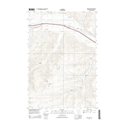 2014 Work Creek2014 Print · USGSCovers Quebec, including Sweet Grass County, United States, and other nearby areas
 - 2017 Map of Work Creek, 2017 Print
 2017 Work Creek2017 Print · USGSCovers Quebec, including Sweet Grass County, United States, and other nearby areas
 - 2020 Map of Work Creek, 2020 Print
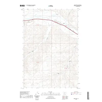 2020 Work Creek2020 Print · USGSCovers Quebec, including Sweet Grass County, United States, and other nearby areas
 - 2024 Map of Work Creek, 2024 Print
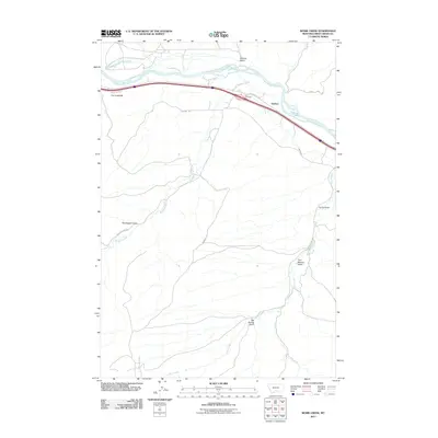
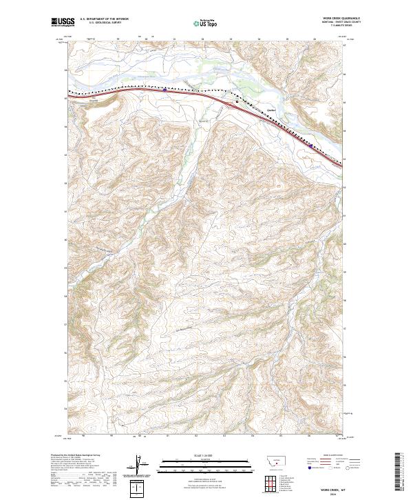 2024 Work Creek2024 Print · USGSThe Yellowstone River corridor in Sweet Grass County is captured in this recent survey, showcasing the enduring agricultural and transit infrastructure of southern Montana. Genealogists and local historians can trace the irrigation network of Kent Ditch and Krone Ditch near the Kent Cem and the settlement of Quebec.
End of results
Showing maps 1-12 of 12
Top cities near Quebec
Frequently asked questions
- What are the different types of historical maps available for Quebec?
- What is the oldest map of Quebec?
- Where can I purchase historical maps of Quebec for my home or office?
- Where can I download high-res historical maps of Quebec?
- Are there historical topographic maps available for Quebec?
- Is there historical aerial imagery available for Quebec?
- Where are historical maps of Quebec sourced from?