Old Maps of Devon, Montana for Genealogy
Trace your family roots with 9 historic maps of Devon. These high-res maps reveal old neighborhoods, homesites, landmarks, and streets — helping you uncover where your ancestors lived and how the area evolved over time.
- Explore historic neighborhoods: Identify where your relatives may have lived in the 1800s or 1900s.
- Compare maps over time: Trace the changes in streets, buildings, and landmarks for multi-generational research.
- Perfect for genealogy & ancestry research: Used by family historians and researchers to map out lineage and migration.
These maps are an incredible resource for exploring your personal connection to Devon's past.
Devon, MT maps
(9)- 1954 Map of Shelby, 1967 Print
 1954 Shelby1967 Print · USGSNorthern Montana's Hi-Line is captured in the mid-fifties, showing a landscape shaped by the Great Northern rail and early oil development. Trace family roots in Shelby and Conrad, or locate rural landmarks like Goose Bill Butte and the Rocky Boys Indian Reservation.3 unique versions available
 - 1958 Map of Shelby
 1958 Shelby1958 Print · USGSNorthern Montana’s high plains and the Sweetgrass Hills come to life in the late fifties as the Tiber Dam begins to reshape the Marias River valley. Genealogists and historians can trace rail-town lineages along the Great Northern line and locate sites like the Hull Coal Mine or Sweet Grass.
 - 1970 Map of Devon, 1973 Print
 1970 Devon1973 Print · USGSToole County's high plains and railway corridors come into focus during the early 1970s. Researchers can trace the evolution of the northern rail route via the Old Railroad Grade and locate property landmarks along Coyote Coulee and the West Fork Willow Creek.2 unique versions available
 - 1984 Map of Conrad
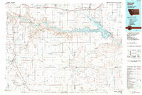 1984 Conrad1984 Print · USGSNorth-central Montana's high plains and river valleys come to life in this mid-eighties record of Pondera and Toole counties. Genealogists and historians can trace rail-stop towns along the Burlington Northern or locate rural landmarks like Favot and Alkali Springs.
 - 2011 Map of Devon, 2011 Print
 2011 Devon2011 Print · USGSToole County's high plains near Devon are shown here as they appeared in the early 21st century, centered on the local rail-and-road network. Researchers can trace land use through family-named routes like Hellinger Rd and local infrastructure including Castor Dam.
 - 2014 Map of Devon, 2014 Print
 2014 Devon2014 Print · USGSToole County in the early twenty-first century reveals a high plains landscape centered on the small siding of Devon. Genealogists and local historians can trace family-named routes and land features such as Frydenlund Rd, Coyote Coulee, and Marsh Coulee.
 - 2017 Map of Devon, 2017 Print
 2017 Devon2017 Print · USGSToole County plains life is centered around Devon in this recent survey of North-Central Montana. Genealogists and local historians can trace family-named routes like Hellinger Rd and the drainage patterns of Coyote Coulee or Willow Cr.
 - 2020 Map of Devon, 2020 Print
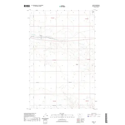 2020 Devon2020 Print · USGSIn this northern Montana landscape, the settlement of Devon is surrounded by a network of drainage coulees. Genealogists and local historians can trace family land ties along rural routes like Appley Rd and Peterson Rd near Coyote Coulee.
 - 2024 Map of Devon, 2024 Print
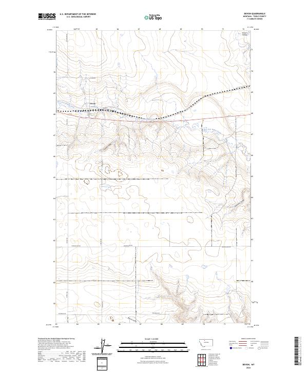 2024 Devon2024 Print · USGSToole County ranching country is documented here in its modern context, centered on the settlement of Devon. Genealogists and local researchers can trace family-named landmarks and rural infrastructure including the Denson Ranch, Pondera School, and South Devon School.
End of results
Showing maps 1-9 of 9
Frequently asked questions
- What are the different types of historical maps available for Devon?
- What is the oldest map of Devon?
- Where can I purchase historical maps of Devon for my home or office?
- Where can I download high-res historical maps of Devon?
- Are there historical topographic maps available for Devon?
- Is there historical aerial imagery available for Devon?
- Where are historical maps of Devon sourced from?