Old Maps of Dunkirk, Montana for Metal Detecting
Plan your next treasure hunt with 10 historic maps of Dunkirk. Find old homesites, ghost towns, trails, and gathering spots that may be lost to time — perfect for identifying promising metal detecting locations.
- Locate forgotten sites: Uncover places like long-lost settlements, abandoned rail lines, or gathering spots.
- Plan better hunts: Use map overlays combined with LiDAR or satellite views to narrow in on historically rich areas.
- Made for detectorists: Thousands of hobbyists use these maps to discover relics, coins, and hidden history.
Use these historic maps to boost your research and find new opportunities beneath the surface of Dunkirk.
Dunkirk, MT maps
(10)- 1920 Map of Conrad
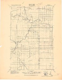 1920 Conrad1920 Print · USGSNorthern Montana plains at the height of the homesteading era are captured here during a period of rapid rail-led growth. Researchers can trace early postal locations like Omholt P. O. and the junction of the Great Northern R. R. in towns like Conrad and Brady.
 - 1954 Map of Shelby, 1967 Print
 1954 Shelby1967 Print · USGSNorthern Montana's Hi-Line is captured in the mid-fifties, showing a landscape shaped by the Great Northern rail and early oil development. Trace family roots in Shelby and Conrad, or locate rural landmarks like Goose Bill Butte and the Rocky Boys Indian Reservation.3 unique versions available
 - 1958 Map of Shelby
 1958 Shelby1958 Print · USGSNorthern Montana’s high plains and the Sweetgrass Hills come to life in the late fifties as the Tiber Dam begins to reshape the Marias River valley. Genealogists and historians can trace rail-town lineages along the Great Northern line and locate sites like the Hull Coal Mine or Sweet Grass.
 - 1967 Map of Dunkirk, 1971 Print
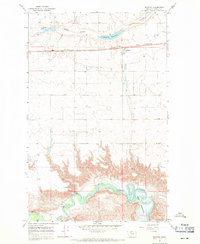 1967 Dunkirk1971 Print · USGSToole County's high plains and river breaks are captured here in the late sixties, centered on the Great Northern railroad. Researchers can locate the small community of Dunkirk, a local Cem, and the winding course of the Marias River.
 - 1984 Map of Conrad
 1984 Conrad1984 Print · USGSNorth-central Montana's high plains and river valleys come to life in this mid-eighties record of Pondera and Toole counties. Genealogists and historians can trace rail-stop towns along the Burlington Northern or locate rural landmarks like Favot and Alkali Springs.
 - 2011 Map of Dunkirk, 2011 Print
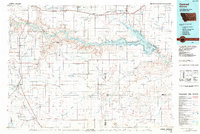
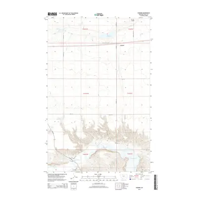
 2011 Dunkirk2011 Print · USGSCovers Dunkirk, including Toole County, United States, and other nearby areas
 - 2014 Map of Dunkirk, 2014 Print
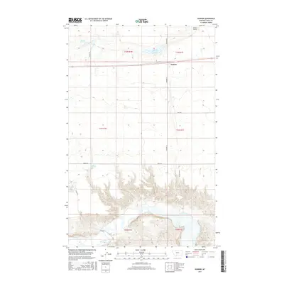
 2014 Dunkirk2014 Print · USGSCovers Dunkirk, including Toole County, United States, and other nearby areas
 - 2017 Map of Dunkirk, 2017 Print
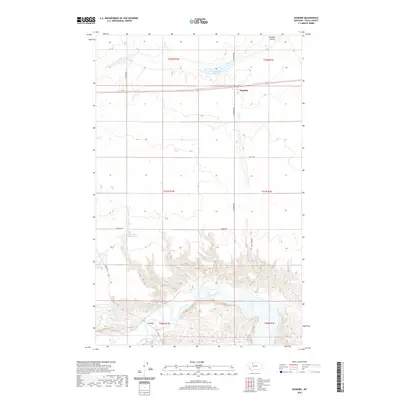
 2017 Dunkirk2017 Print · USGSCovers Dunkirk, including Toole County, United States, and other nearby areas
 - 2020 Map of Dunkirk, 2020 Print
 2020 Dunkirk2020 Print · USGSCovers Dunkirk, including Toole County, United States, and other nearby areas
 - 2024 Map of Dunkirk, 2024 Print
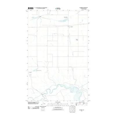
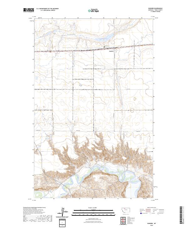 2024 Dunkirk2024 Print · USGSToole County's high plains meet the winding breaks of the Marias River in this recent survey. Local researchers can trace the landscape around Dunkirk, locating the Dunkirk Cem and water features like the Wilson Reservoir and Dunkirk Coulee.
End of results
Showing maps 1-10 of 10
Top cities near Dunkirk
Frequently asked questions
- What are the different types of historical maps available for Dunkirk?
- What is the oldest map of Dunkirk?
- Where can I purchase historical maps of Dunkirk for my home or office?
- Where can I download high-res historical maps of Dunkirk?
- Are there historical topographic maps available for Dunkirk?
- Is there historical aerial imagery available for Dunkirk?
- Where are historical maps of Dunkirk sourced from?