Old Maps of Sanders, Montana for Academic Research
Study the evolution of Sanders with 11 high-resolution historic maps. Whether you're teaching, researching, or modeling changes in land use, these maps provide essential visual documentation of urban, environmental, and geographic change.
- Analyze long-term change: Track patterns in development, transportation, and natural features.
- Ideal for environmental or urban studies: Support academic projects with primary historical map data.
- Use in the classroom or lab: Educators and researchers rely on these maps to bring historical context to life.
These maps are a powerful tool for teaching, research, and visualizing how Sanders has changed over the decades.
Sanders, MT maps
(11)- 1954 Map of Forsyth, 1966 Print
 1954 Forsyth1966 Print · USGSThe Yellowstone River valley and the northern high plains are captured here in the mid-1950s during a period of expanding energy and rail infrastructure. Genealogists and historians can trace rail sidings and cattle-country outposts like Ingomar, Vananda, and Angela.3 unique versions available
 - 1957 Map of Forsyth
 1957 Forsyth1957 Print · USGSSouth-central Montana in the late fifties is captured here through its dual-river geography and emergent energy economy. Researchers can trace the path of the Northern Pacific through Forsyth, locate the Ragged Point Oil Field, and find early sidings like Ahles Siding.
 - 1958 Map of Forsyth
 1958 Forsyth1958 Print · USGSMid-century Montana comes alive along the Yellowstone River and the competing transcontinental rail lines. Local historians can trace the legacy of the Northern Pacific through Forsyth or explore early oil developments at the Ragged Point Oil Field.
 - 1960 Map of Sanders, 1962 Print
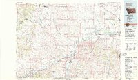
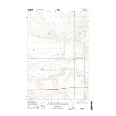
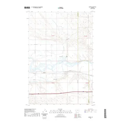
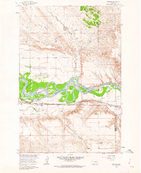 1960 Sanders1962 Print · USGSTreasure County during the early 1960s shows a landscape shaped by the river and the rail. Researchers can trace the path of the Northern Pacific through Sanders and explore local drainage like Six Mile to Death Creek.2 unique versions available
 - 1979 Map of Hysham
 1979 Hysham1979 Print · USGSBig Sky cattle country and river-fed valleys define this 1970s Montana landscape at the junction of two major rivers. Genealogists and historians can trace rail-side towns like Hysham, Myers, and Sanders, or locate family landmarks near Pease Bottom and Bull Mtn.
 - 1983 Map of Forsyth
 1983 Forsyth1983 Print · USGSEastern Montana's high plains and river valleys come into focus in the early eighties as the rail-and-ranching economy centered on the Yellowstone River. Researchers can trace the development of small rail towns like Hysham, Angela, and Ingomar alongside the Burlington Northern line.
 - 2011 Map of Sanders, 2011 Print
 2011 Sanders2011 Print · USGSCovers Sanders, including Rosebud County, Treasure County, and other nearby areas
 - 2014 Map of Sanders, 2014 Print
 2014 Sanders2014 Print · USGSCovers Sanders, including Rosebud County, Treasure County, and other nearby areas
 - 2017 Map of Sanders, 2017 Print
 2017 Sanders2017 Print · USGSCovers Sanders, including Rosebud County, Treasure County, and other nearby areas
 - 2020 Map of Sanders, 2020 Print
 2020 Sanders2020 Print · USGSCovers Sanders, including Rosebud County, Treasure County, and other nearby areas
 - 2024 Map of Sanders, 2024 Print
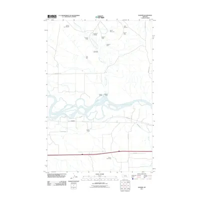
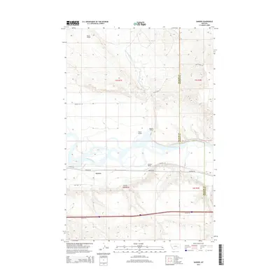
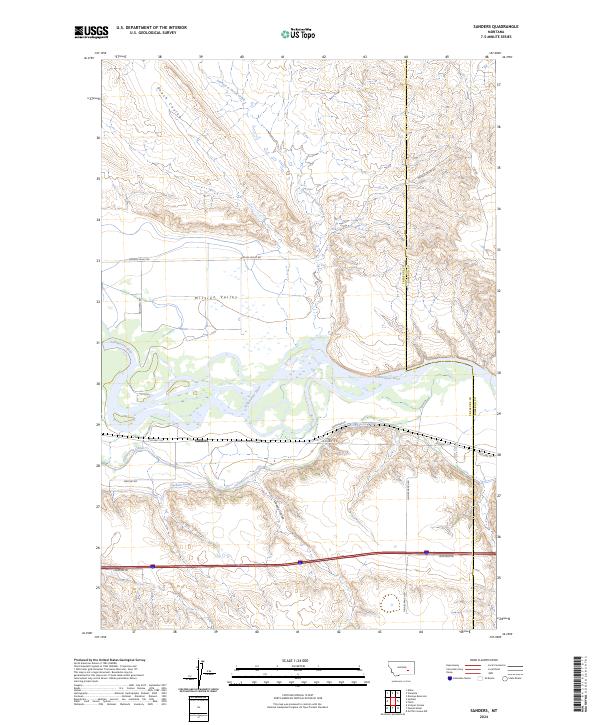 2024 Sanders2024 Print · USGSThe area around Sanders and the Yellowstone River is documented here in the early twenty-first century. Genealogists and researchers can trace local landmarks like Haines Ranch Rd and the vital water routes of the Yellowstone Canal.
End of results
Showing maps 1-11 of 11
Top cities near Sanders
Frequently asked questions
- What are the different types of historical maps available for Sanders?
- What is the oldest map of Sanders?
- Where can I purchase historical maps of Sanders for my home or office?
- Where can I download high-res historical maps of Sanders?
- Are there historical topographic maps available for Sanders?
- Is there historical aerial imagery available for Sanders?
- Where are historical maps of Sanders sourced from?