Old Maps of Park Grove, Montana for Academic Research
Study the evolution of Park Grove with 12 high-resolution historic maps. Whether you're teaching, researching, or modeling changes in land use, these maps provide essential visual documentation of urban, environmental, and geographic change.
- Analyze long-term change: Track patterns in development, transportation, and natural features.
- Ideal for environmental or urban studies: Support academic projects with primary historical map data.
- Use in the classroom or lab: Educators and researchers rely on these maps to bring historical context to life.
These maps are a powerful tool for teaching, research, and visualizing how Park Grove has changed over the decades.
Park Grove, MT maps
(12)- 1914 Map of Nashua, 1965 Print
 1914 Nashua1965 Print · USGSNortheastern Montana ranching and rail life are captured here in the early twentieth century. Researchers can trace rural school locations like Panton School and Galpin School or locate early family holdings such as Nichols Ranch.
 - 1916 Map of Nashua
 1916 Nashua1916 Print · USGSNortheastern Montana at the height of the homesteading era reveals the vital connection between the rail lines and river valleys. Genealogists and historians can locate early rural schoolhouses like Penton School and Galpin School or trace the Great Northern tracks through Nashua.3 unique versions available
 - 1954 Map of Glasgow, 1967 Print
 1954 Glasgow1967 Print · USGSNortheastern Montana is shown during the mid-fifties as the rail-and-river economy shaped the plains. Trace family roots and vanished landmarks from the Wendell Post Office to the Great Northern sidings at Ashfield and Hinsdale.2 unique versions available
 - 1957 Map of Glasgow
 1957 Glasgow1957 Print · USGSNortheastern Montana during the late 1950s shows a landscape shaped by the Milk River and the expanding influence of the Fort Peck Lake reservoir. Genealogists and historians can trace the Great Northern rail stops from Malta to Glasgow, including old sidings like Kintyre Siding and rural centers like Opheim.
 - 1958 Map of Glasgow
 1958 Glasgow1958 Print · USGSNortheastern Montana comes to life in this mid-century survey of the Milk River valley and the Great Northern rail corridor. Researchers can trace the rise and fall of work camps like New Deal and Wheeler alongside remote landmarks like the Wendell Post Office.2 unique versions available
 - 1972 Map of Fort Peck, 1975 Print
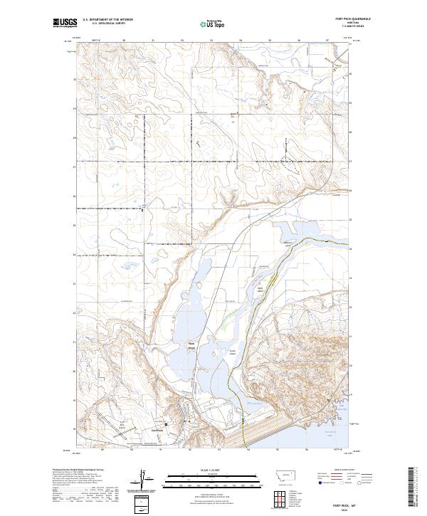
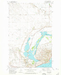 1972 Fort Peck1975 Print · USGSThe Missouri River valley in the early seventies shows a landscape transformed by the Fort Peck Dam and wildlife conservation efforts. Researchers can trace the layout of Fort Peck and Park Grove alongside the Charles M. Russell National Wildlife Range.
 - 1984 Map of Glasgow
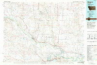 1984 Glasgow1984 Print · USGSNorthwestern Montana's river valleys and high plains are shown in the mid-1980s, centered on the hub of Glasgow. Genealogists and historians can trace the Burlington Northern line through riverside towns like Tampico and Nashua or explore the vast Fort Peck Indian Reservation.
 - 2011 Map of Fort Peck, 2011 Print
 2011 Fort Peck2011 Print · USGSCovers Park Grove, including Fort Peck, Valley County, and other nearby areas
 - 2014 Map of Fort Peck, 2014 Print
 2014 Fort Peck2014 Print · USGSCovers Park Grove, including Fort Peck, Valley County, and other nearby areas
 - 2017 Map of Fort Peck, 2017 Print
 2017 Fort Peck2017 Print · USGSCovers Park Grove, including Fort Peck, Valley County, and other nearby areas
 - 2020 Map of Fort Peck, 2020 Print
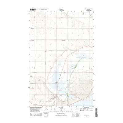
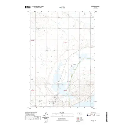 2020 Fort Peck2020 Print · USGSCovers Park Grove, including Fort Peck, Valley County, and other nearby areas
 - 2024 Map of Fort Peck, 2024 Print
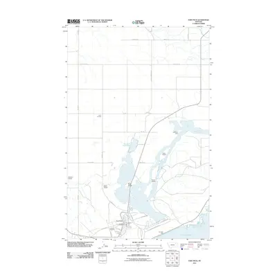
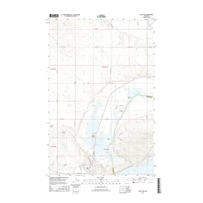
 2024 Fort Peck2024 Print · USGSThe Missouri River breaks into the plains of northeastern Montana here in the twenty-first century, where the legacy of the New Deal remains central. Researchers can trace the layout of Fort Peck and Park Grove or locate the Fort Peck Cem and Galpin Cem.
End of results
Showing maps 1-12 of 12
Top cities near Park Grove
Frequently asked questions
- What are the different types of historical maps available for Park Grove?
- What is the oldest map of Park Grove?
- Where can I purchase historical maps of Park Grove for my home or office?
- Where can I download high-res historical maps of Park Grove?
- Are there historical topographic maps available for Park Grove?
- Is there historical aerial imagery available for Park Grove?
- Where are historical maps of Park Grove sourced from?