Old Maps of Judith Gap, Montana for Hiking & Exploration
Hike through history with 18 historic maps of Judith Gap. Explore old trails, ghost towns, and forgotten backroads — perfect for outdoor adventurers and local explorers.
- Rediscover forgotten places: Map out old mining camps, roads, and footpaths that no longer exist on modern maps.
- Layer with modern tools: Combine with LiDAR or satellite views to plan hikes through historical terrain.
- Made for exploration: Popular among hikers, overlanders, and local history lovers.
Use these maps to find adventure and explore the hidden past of Judith Gap.
Judith Gap, MT maps
(18)- 1889 Map of Big Snowy Mountain
 1889 Big Snowy Mountain1889 Print · USGSCentral Montana in the late 1880s was a land of critical mountain passes and emerging frontier outposts. You can trace early settlement patterns and cattle country geography through historic sites like Ubet, Bercail, and Melville near the Musselshell River.
 - 1893 Map of Big Snowy Mountain
 1893 Big Snowy Mountain1893 Print · USGSCentral Montana in the late frontier era reveals a landscape shaped by the massive Big Snowy Mountain and the headwaters of major rivers. Researchers can trace early settlements and transit points like Ubet, Judith Gap, and the remote outpost of Bercail.4 unique versions available
 - 1954 Map of Roundup, 1966 Print
 1954 Roundup1966 Print · USGSCentral Montana in the mid-1960s showcases a landscape of high-plains agriculture and vital rail connections. Researchers can trace historic routes through Harlowton and Roundup while locating landmarks like Judith Cemetery and Deadmans Basin Reservoir.2 unique versions available
 - 1958 Map of Roundup
 1958 Roundup1958 Print · USGSCentral Montana ranching and rail infrastructure are captured here in the late fifties as the Musselshell River valley thrived. Researchers can trace the Great Northern line through Harlowton or locate the Judith Cemetery and Gage Community.2 unique versions available
 - 1986 Map of Judith Gap
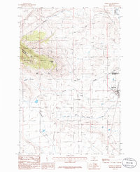 1986 Judith Gap1986 Print · USGSThe high plains of central Montana meet the mountains in the mid-1980s at this strategic three-county junction. Researchers can trace the layout of Judith Gap, the nearby Cem, and landmarks like Oka Butte and the Lewis and Clark National Forest.
 - 1986 Map of Elephant Rocks
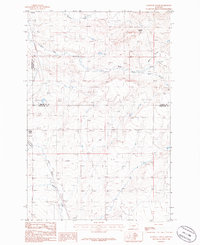 1986 Elephant Rocks1986 Print · USGSCentral Montana ranching country comes into focus in the mid-1980s, documenting the corridor near the Judith Basin and Wheatland county lines. Genealogists can trace family holdings near Judith Gap, Garneill, and the landmark Elephant Rocks.
 - 1993 Map of Big Snowy Mountains
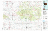 1993 Big Snowy Mountains1993 Print · USGSCentral Montana ranching and mountain landscapes come into focus in the early 1990s as small settlements like Judith Gap and Straw dot the plains. Genealogists and historians can trace the Burlington Northern rail line and identify remote sites like Living Springs or the Elephant Rocks.
 - 1995 Map of Judith Gap, 1997 Print
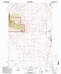 1995 Judith Gap1997 Print · USGSThe mountain pass at Judith Gap remained a vital corridor for Montana ranching and transport in the mid-nineties. Researchers can trace the legacy of the high plains through the Old Railroad Grade, the local Cem, and natural landmarks like Oka Butte.
 - 2011 Map of Elephant Rocks, 2011 Print
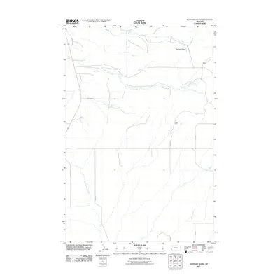 2011 Elephant Rocks2011 Print · USGSWheatland County ranchlands are documented here at the start of the decade, showing the drainage patterns of the Judith Gap vicinity. Researchers can locate named landmarks like the C Volf Dam and trace the winding paths of Ross Fork Creek and Mills Coulee.
 - 2011 Map of Judith Gap, 2011 Print
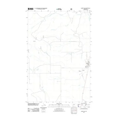 2011 Judith Gap2011 Print · USGSThe Judith Gap area is captured here during the early twenty-first century, showing the small-town hub and its relationship to the surrounding plains and coulees. Researchers can find the locations of Ubet Cemetery, Judith Gap Post Office, and the high point of Oka Butte.
 - 2014 Map of Judith Gap, 2014 Print
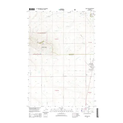 2014 Judith Gap2014 Print · USGSThe Judith Basin and Wheatland County borderlands are captured here in the early twenty-first century, showcasing the critical mountain pass at Judith Gap. Genealogists can locate family sites via Ubet Cem and Judith Gap Cem or trace rural roads like Oka Rd and Lode Rd.
 - 2014 Map of Elephant Rocks, 2014 Print
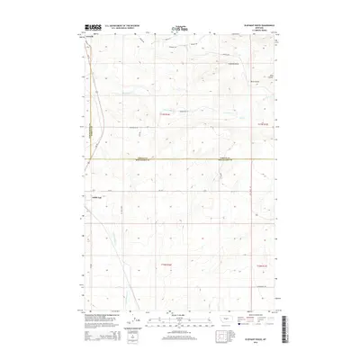 2014 Elephant Rocks2014 Print · USGSThe Judith Basin and Wheatland County border comes into focus in this mid-2010s survey of the Montana plains. Genealogists and local historians can trace the rural landscape surrounding Judith Gap and Garneill, including landmarks like Elephant Rocks and Mills Coulee.
 - 2017 Map of Judith Gap, 2017 Print
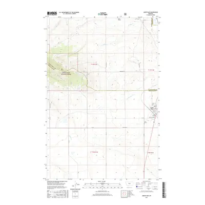 2017 Judith Gap2017 Print · USGSThe high mountain pass at Judith Gap comes into sharp focus in this recent study of the Wheatland and Fergus County border. Genealogists and historians can locate rural landmarks like Ubet Cem, Oka Butte, and the trails of the Lewis & Clark National Forest.
 - 2017 Map of Elephant Rocks, 2017 Print
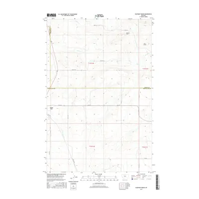 2017 Elephant Rocks2017 Print · USGSCentral Montana at the edge of the snowy ranges is captured here in the mid-2010s, showing the high-plains geography around the town of Judith Gap. Trace the drainage patterns of Ross Fork Creek or locate landmarks like Elephant Rocks and Mills Coulee.
 - 2020 Map of Judith Gap, 2020 Print
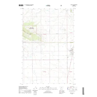 2020 Judith Gap2020 Print · USGSThe mountain pass at Judith Gap is captured here in the modern era, showing the intersection of the Little Belt Mountains and the central Montana plains. Researchers can locate the Ubet Cem, trace the drainage of Oka Coulee, and explore the rugged tracks of the Lazy Z Jeep trail.
 - 2020 Map of Elephant Rocks, 2020 Print
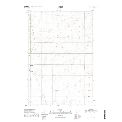 2020 Elephant Rocks2020 Print · USGSCentral Montana's high plains and geological transitions are captured in this recent survey of the Judith Gap area. Genealogists and local historians can trace the rural landscape across three counties, following landmarks like Elephant Rocks, Mills Coulee, and the headwaters of Ross Fork Cr.
 - 2024 Map of Elephant Rocks, 2024 Print
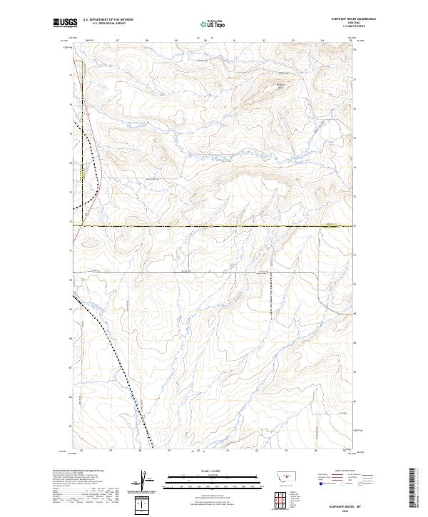 2024 Elephant Rocks2024 Print · USGSCentral Montana's high plains are detailed here in the 2020s, showing where Fergus, Wheatland, and Judith Basin counties converge. Trace the rural landscape along Ross Fork Creek or find family-named landmarks like Elephant Rocks and Garneill Loop.
 - 2024 Map of Judith Gap, 2024 Print
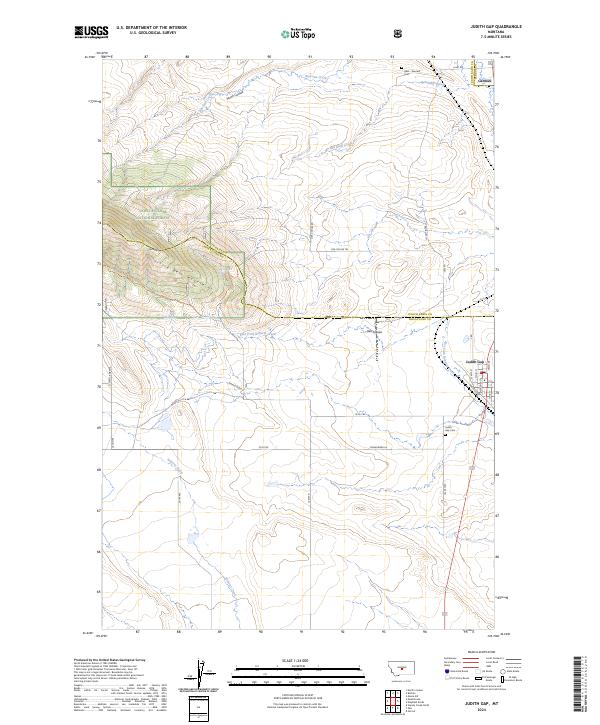 2024 Judith Gap2024 Print · USGSThe mountain-pass corridor between the Snowy and Little Belt ranges is captured in this recent survey of central Montana. Researchers can trace town layouts in Judith Gap or locate family sites at Ubet - Garneill Cem and Garneill.
End of results
Showing maps 1-18 of 18
Top cities near Judith Gap
Frequently asked questions
- What are the different types of historical maps available for Judith Gap?
- What is the oldest map of Judith Gap?
- Where can I purchase historical maps of Judith Gap for my home or office?
- Where can I download high-res historical maps of Judith Gap?
- Are there historical topographic maps available for Judith Gap?
- Is there historical aerial imagery available for Judith Gap?
- Where are historical maps of Judith Gap sourced from?