Old Maps of Broadview, Montana for Metal Detecting
Plan your next treasure hunt with 15 historic maps of Broadview. Find old homesites, ghost towns, trails, and gathering spots that may be lost to time — perfect for identifying promising metal detecting locations.
- Locate forgotten sites: Uncover places like long-lost settlements, abandoned rail lines, or gathering spots.
- Plan better hunts: Use map overlays combined with LiDAR or satellite views to narrow in on historically rich areas.
- Made for detectorists: Thousands of hobbyists use these maps to discover relics, coins, and hidden history.
Use these historic maps to boost your research and find new opportunities beneath the surface of Broadview.
Broadview, MT maps
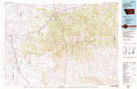
(15)- 1954 Map of Roundup, 1966 Print
 1954 Roundup1966 Print · USGSCentral Montana in the mid-1960s showcases a landscape of high-plains agriculture and vital rail connections. Researchers can trace historic routes through Harlowton and Roundup while locating landmarks like Judith Cemetery and Deadmans Basin Reservoir.2 unique versions available
 - 1958 Map of Roundup
 1958 Roundup1958 Print · USGSCentral Montana ranching and rail infrastructure are captured here in the late fifties as the Musselshell River valley thrived. Researchers can trace the Great Northern line through Harlowton or locate the Judith Cemetery and Gage Community.2 unique versions available
 - 1979 Map of Roundup
 1979 Roundup1979 Print · USGSCentral Montana at the close of the 1970s reveals a landscape defined by coal mining and major rail lines. Researchers can trace the industrial legacy of Roundup and Klein or locate landmarks like the Western Mine and Steamboat Butte.
 - 1979 Map of Broadview East, 1980 Print
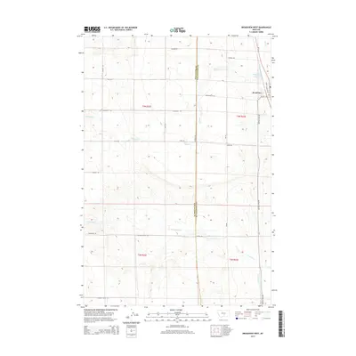
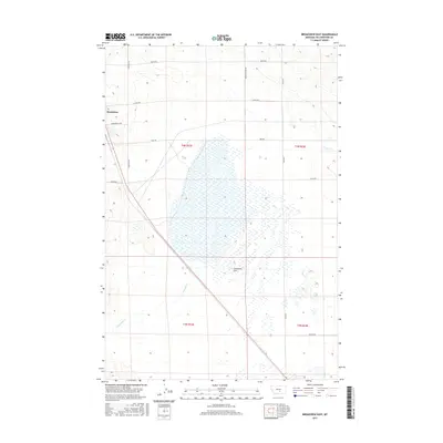
 1979 Broadview East1980 Print · USGSYellowstone County's open plains are captured here in the late seventies as the region maintained its agricultural and industrial character. Researchers can trace the Burlington Northern rail line as it passes Broadview and crosses the wide Comanche Flat.
 - 1980 Map of Broadview West
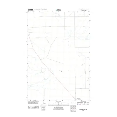
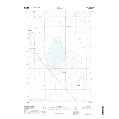
 1980 Broadview West1980 Print · USGSThe Stillwater and Yellowstone county border in the 1970s shows a high plains landscape centered on the rail-side settlement of Broadview. Genealogists and historians can trace the historic Buffalo Trail and the course of Comanche Creek along the Burlington Northern railroad.
 - 2011 Map of Broadview West, 2011 Print
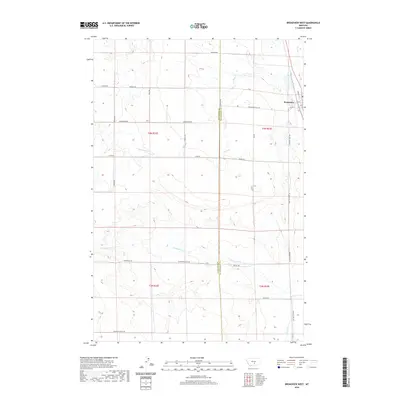
 2011 Broadview West2011 Print · USGSCovers Broadview, including Yellowstone County, Stillwater County, and other nearby areas
 - 2011 Map of Broadview East, 2011 Print
 2011 Broadview East2011 Print · USGSCovers Broadview, including Yellowstone County, United States, and other nearby areas
 - 2014 Map of Broadview West, 2014 Print
 2014 Broadview West2014 Print · USGSCovers Broadview, including Yellowstone County, Stillwater County, and other nearby areas
 - 2014 Map of Broadview East, 2014 Print
 2014 Broadview East2014 Print · USGSCovers Broadview, including Yellowstone County, United States, and other nearby areas
 - 2017 Map of Broadview West, 2017 Print
 2017 Broadview West2017 Print · USGSCovers Broadview, including Yellowstone County, Stillwater County, and other nearby areas
 - 2017 Map of Broadview East, 2017 Print
 2017 Broadview East2017 Print · USGSCovers Broadview, including Yellowstone County, United States, and other nearby areas
 - 2020 Map of Broadview East, 2020 Print
 2020 Broadview East2020 Print · USGSCovers Broadview, including Yellowstone County, United States, and other nearby areas
 - 2020 Map of Broadview West, 2020 Print
 2020 Broadview West2020 Print · USGSCovers Broadview, including Yellowstone County, Stillwater County, and other nearby areas
 - 2024 Map of Broadview West, 2024 Print
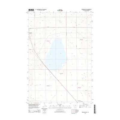
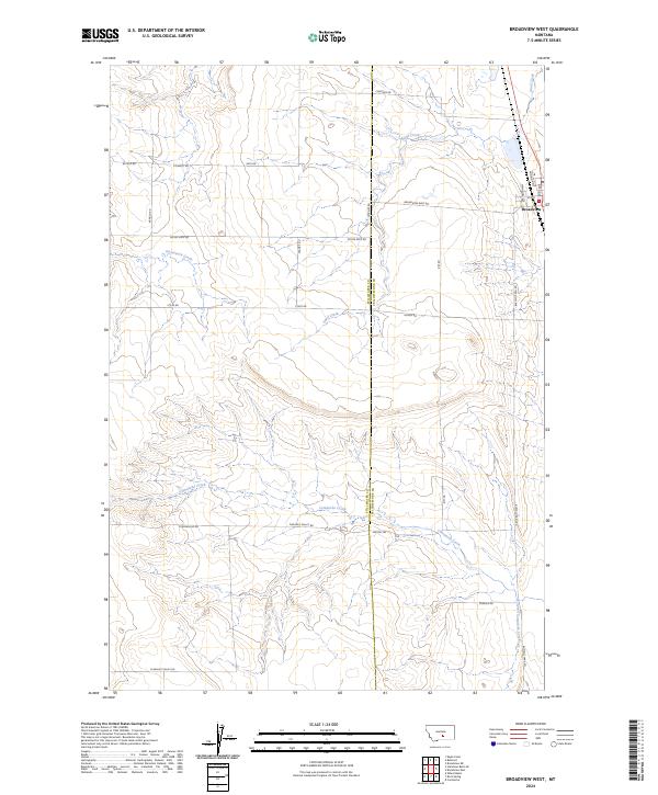 2024 Broadview West2024 Print · USGSBroadview and the high plains of Stillwater and Yellowstone Counties are documented in this contemporary survey of Montana ranch land. Trace the section-line roads and seasonal watercourses like Comanche Creek and family-named routes such as Stiles Rd.
 - 2024 Map of Broadview East, 2024 Print
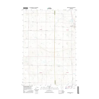
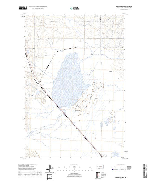 2024 Broadview East2024 Print · USGSYellowstone County's high plains are documented here in the modern era, showing the intersection of ranching life and open prairie. Genealogists and local historians can trace family-named landmarks like Broadview Cem, Swartz Nelson Rd, and the expanse of Comanche Flat.
End of results
Showing maps 1-15 of 15
Top cities near Broadview
Frequently asked questions
- What are the different types of historical maps available for Broadview?
- What is the oldest map of Broadview?
- Where can I purchase historical maps of Broadview for my home or office?
- Where can I download high-res historical maps of Broadview?
- Are there historical topographic maps available for Broadview?
- Is there historical aerial imagery available for Broadview?
- Where are historical maps of Broadview sourced from?