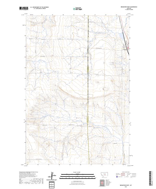
2024 Map of Broadview West
USGS Topo · Published 2024About this map
Broadview sits at the eastern edge of this modern landscape, where the high plains of South-Central Montana are divided by the border of Stillwater Co and Yellowstone Co. The terrain is defined by a series of seasonal drainages including Sand Creek, Gooseneck Creek, and the wandering path of Comanche Creek. This contemporary survey illustrates the persistent grid of the Public Land Survey System, with township and range lines such as t4n r22e and t3n r23e dictating the placement of rural infrastructure. The road network follows these ancestral survey boundaries, featuring long straightaways like Buffalo Trail Rd and Pleasant Valley Rd that link isolated homesteads and ranch lands. The map details the transition from the town's small-scale street grid, featuring Minnesota Ave and 4th St, to the wide-open agricultural expanses of the surrounding valley.
Find a feature on this map
31 named features on this map. Tap any name to fly to it.
Don’t see what you’re looking for? This feature index may not catch every label — zoom into the map to look around manually.
Map Details
Editions of this 2024 Broadview West Map
This is the sole edition of this map. No revisions or reprints were ever made.
Other maps of this area

1889 · Big Snowy Mountain
USGS Topo · 1:250,000

1892 · Stillwater
USGS Topo · 1:125,000

1893 · Big Snowy Mountain
USGS Topo · 1:250,000

1954 · Billings
USGS Topo · 1:250,000

1954 · Roundup
USGS Topo · 1:250,000

1956 · Comanche
USGS Topo · 1:24,000

1956 · Wheat Basin
USGS Topo · 1:24,000

1956 · Rock Spring
USGS Topo · 1:24,000

1957 · Billings
USGS Topo · 1:250,000

1958 · Billings
USGS Topo · 1:250,000