Old Maps of Knox, Montana for Metal Detecting
Plan your next treasure hunt with 11 historic maps of Knox. Find old homesites, ghost towns, trails, and gathering spots that may be lost to time — perfect for identifying promising metal detecting locations.
- Locate forgotten sites: Uncover places like long-lost settlements, abandoned rail lines, or gathering spots.
- Plan better hunts: Use map overlays combined with LiDAR or satellite views to narrow in on historically rich areas.
- Made for detectorists: Thousands of hobbyists use these maps to discover relics, coins, and hidden history.
Use these historic maps to boost your research and find new opportunities beneath the surface of Knox.
Knox, MT maps
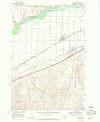
(11)- 1893 Map of Huntley
 1893 Huntley1893 Print · USGSThe Yellowstone River valley and the Crow Indian Reservation dominate this late nineteenth-century Montana landscape. Genealogists and researchers can trace the early rail corridor of the Northern Pacific Railroad through Huntley and the station at Clermont.6 unique versions available
 - 1954 Map of Billings, 1963 Print
 1954 Billings1963 Print · USGSThe Yellowstone valley during the mid-fifties shows a landscape of thriving rail towns and high-mountain outposts. Genealogists and historians can trace old homesteads and mining routes near Red Lodge, Bearcreek, and along the Bighorn River.4 unique versions available
 - 1957 Map of Billings
 1957 Billings1957 Print · USGSThe Yellowstone River valley and the rugged Beartooth Mountains meet in the mid-1950s near the growing hub of Billings. Genealogists and researchers can trace rail and ranching history through river towns like Columbus, the mining heritage of Red Lodge, and the vast Crow Indian Reservation.
 - 1958 Map of Billings
 1958 Billings1958 Print · USGSMid-century Montana comes alive in this survey of the Yellowstone Valley as the regional rail and road networks reached their peak. Trace family roots and old routes near Billings, the Crow Indian Reservation, and the heights of the Beartooth Mountains.2 unique versions available
 - 1967 Map of Worden, 1971 Print
 1967 Worden1971 Print · USGSYellowstone County settlements thrive along the river valley in the late sixties, anchored by the rail corridor. Researchers can trace the Lewis and Clark Trail past Worden, Ballantine, and the Main Canal irrigation works.2 unique versions available
 - 1989 Map of Billings
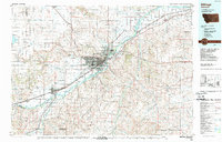 1989 Billings1989 Print · USGSThe Billings area in the late eighties shows a major regional hub at the height of its rail and river influence. Genealogists and historians can trace the development of outlying towns like Worden and Park City or the boundaries of the Crow Indian Reservation.
 - 2011 Map of Worden, 2011 Print
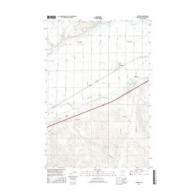
 2011 Worden2011 Print · USGSCovers Knox, including Worden, Ballantine, and other nearby areas
 - 2014 Map of Worden, 2014 Print
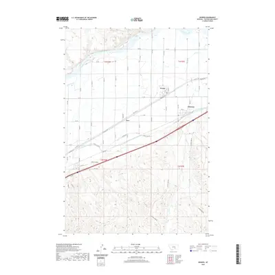
 2014 Worden2014 Print · USGSCovers Knox, including Worden, Ballantine, and other nearby areas
 - 2017 Map of Worden, 2017 Print
 2017 Worden2017 Print · USGSCovers Knox, including Worden, Ballantine, and other nearby areas
 - 2020 Map of Worden, 2020 Print
 2020 Worden2020 Print · USGSCovers Knox, including Worden, Ballantine, and other nearby areas
 - 2024 Map of Worden, 2024 Print
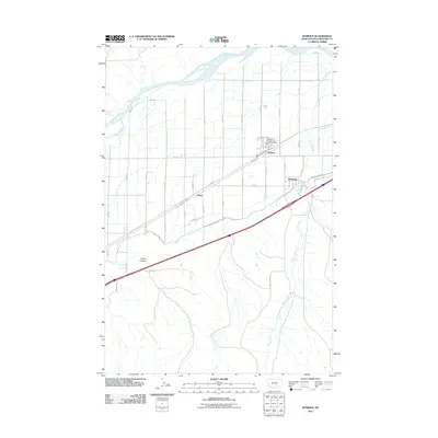
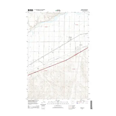
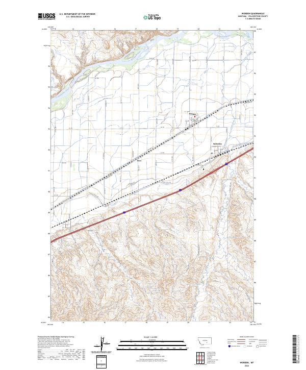 2024 Worden2024 Print · USGSThe Yellowstone River valley is captured here in the contemporary era, showing the enduring irrigation and rail networks of southern Montana. Researchers can trace the local landscape from the Pleasantview Cem and Worden townsite to the Huntley Main Canal.
End of results
Showing maps 1-11 of 11
Frequently asked questions
- What are the different types of historical maps available for Knox?
- What is the oldest map of Knox?
- Where can I purchase historical maps of Knox for my home or office?
- Where can I download high-res historical maps of Knox?
- Are there historical topographic maps available for Knox?
- Is there historical aerial imagery available for Knox?
- Where are historical maps of Knox sourced from?