Old Maps of Laurel, Montana for Genealogy
Trace your family roots with 17 historic maps of Laurel. These high-res maps reveal old neighborhoods, homesites, landmarks, and streets — helping you uncover where your ancestors lived and how the area evolved over time.
- Explore historic neighborhoods: Identify where your relatives may have lived in the 1800s or 1900s.
- Compare maps over time: Trace the changes in streets, buildings, and landmarks for multi-generational research.
- Perfect for genealogy & ancestry research: Used by family historians and researchers to map out lineage and migration.
These maps are an incredible resource for exploring your personal connection to Laurel's past.
Laurel, MT maps
(17)- 1954 Map of Billings, 1963 Print
 1954 Billings1963 Print · USGSThe Yellowstone valley during the mid-fifties shows a landscape of thriving rail towns and high-mountain outposts. Genealogists and historians can trace old homesteads and mining routes near Red Lodge, Bearcreek, and along the Bighorn River.4 unique versions available
 - 1956 Map of Laurel, 1958 Print
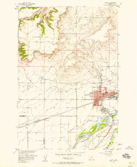 1956 Laurel1958 Print · USGSThe Yellowstone River valley is captured here in the mid-fifties, showing the intersection of heavy industry and historic trails. Researchers can trace the massive Oil Refinery, the Northern Pacific line, and landmarks like St Anthonys Ch or the Buffalo Trail.2 unique versions available
 - 1956 Map of Mossmain, 1958 Print
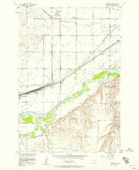 1956 Mossmain1958 Print · USGSThe Yellowstone Valley in the mid-1950s was a bustling hub of rail transport and irrigated agriculture. Researchers can trace the massive rail infrastructure at Mossmain and Laurel Stockyards, or locate rural landmarks like Elder Grove School and Canyon Creek.3 unique versions available
 - 1957 Map of Billings
 1957 Billings1957 Print · USGSThe Yellowstone River valley and the rugged Beartooth Mountains meet in the mid-1950s near the growing hub of Billings. Genealogists and researchers can trace rail and ranching history through river towns like Columbus, the mining heritage of Red Lodge, and the vast Crow Indian Reservation.
 - 1958 Map of Billings
 1958 Billings1958 Print · USGSMid-century Montana comes alive in this survey of the Yellowstone Valley as the regional rail and road networks reached their peak. Trace family roots and old routes near Billings, the Crow Indian Reservation, and the heights of the Beartooth Mountains.2 unique versions available
 - 1969 Map of Laurel, 1970 Print
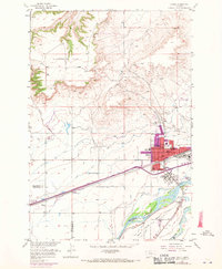 1969 Laurel1970 Print · USGSThe confluence of the Yellowstone and Clarks Fork rivers defines this Montana landscape during the late sixties. Genealogists and researchers can trace the growth of Laurel through its churches, schools like Trewin Sch, and the extensive Burlington Northern rail yards.
 - 1989 Map of Billings
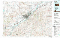 1989 Billings1989 Print · USGSThe Billings area in the late eighties shows a major regional hub at the height of its rail and river influence. Genealogists and historians can trace the development of outlying towns like Worden and Park City or the boundaries of the Crow Indian Reservation.
 - 2011 Map of Laurel, 2011 Print
 2011 Laurel2011 Print · USGSCovers Laurel, including Spurling, Yellowstone County, and other nearby areas
 - 2011 Map of Mossmain, 2011 Print
 2011 Mossmain2011 Print · USGSCovers Laurel, including Billings, Hesper, and other nearby areas
 - 2014 Map of Laurel, 2014 Print
 2014 Laurel2014 Print · USGSCovers Laurel, including Spurling, Yellowstone County, and other nearby areas
 - 2014 Map of Mossmain, 2014 Print
 2014 Mossmain2014 Print · USGSCovers Laurel, including Billings, Hesper, and other nearby areas
 - 2017 Map of Laurel, 2017 Print
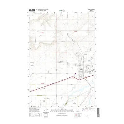
 2017 Laurel2017 Print · USGSCovers Laurel, including Spurling, Yellowstone County, and other nearby areas
 - 2017 Map of Mossmain, 2017 Print
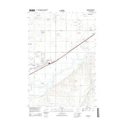
 2017 Mossmain2017 Print · USGSCovers Laurel, including Billings, Hesper, and other nearby areas
 - 2020 Map of Laurel, 2020 Print
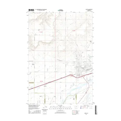
 2020 Laurel2020 Print · USGSCovers Laurel, including Spurling, Yellowstone County, and other nearby areas
 - 2020 Map of Mossmain, 2020 Print
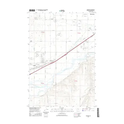
 2020 Mossmain2020 Print · USGSCovers Laurel, including Billings, Hesper, and other nearby areas
 - 2024 Map of Mossmain, 2024 Print
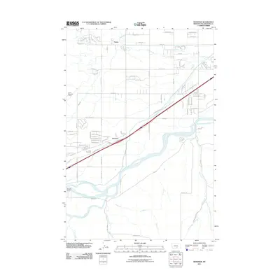
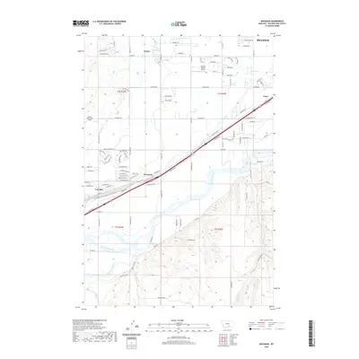
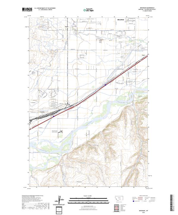 2024 Mossmain2024 Print · USGSThe Yellowstone River valley comes alive in this contemporary record of the vital transit corridor west of Billings. Researchers can trace the complex irrigation networks of the Billings Bench Water Association Canal and the settlement patterns at Mossmain and Yegen.
 - 2024 Map of Laurel, 2024 Print
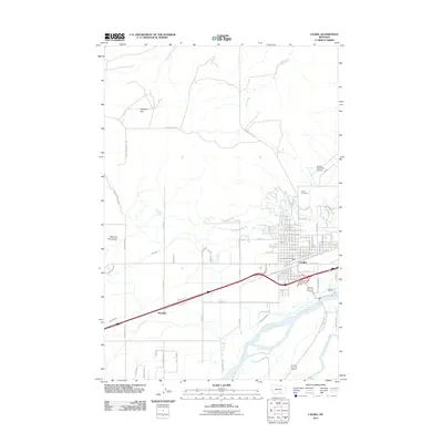
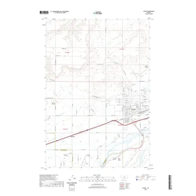
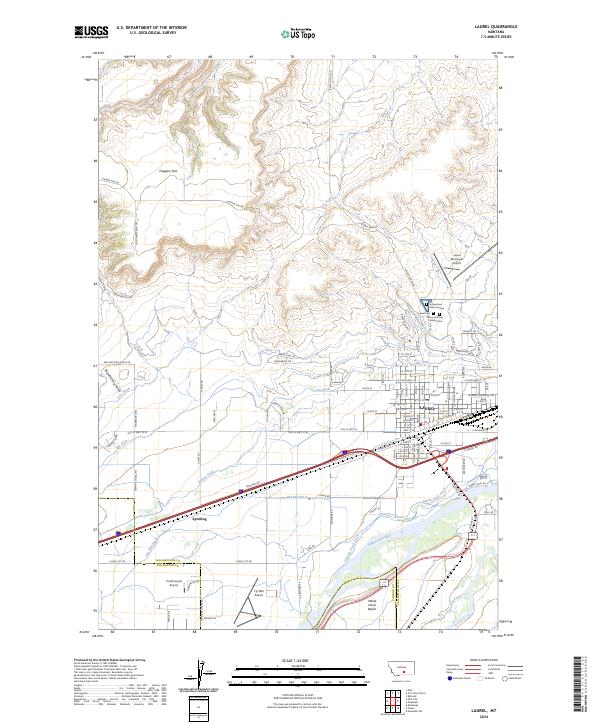 2024 Laurel2024 Print · USGSLaurel sits at a vital Montana crossroads where the Yellowstone River meets a complex system of historic irrigation ditches. Genealogists and local historians can trace family sites at Yellowstone National Cem or explore the rail-side settlement at Spurling.
End of results
Showing maps 1-17 of 17
Top cities near Laurel
Frequently asked questions
- What are the different types of historical maps available for Laurel?
- What is the oldest map of Laurel?
- Where can I purchase historical maps of Laurel for my home or office?
- Where can I download high-res historical maps of Laurel?
- Are there historical topographic maps available for Laurel?
- Is there historical aerial imagery available for Laurel?
- Where are historical maps of Laurel sourced from?