Old Maps of Soda Springs, Montana for Academic Research
Study the evolution of Soda Springs with 11 high-resolution historic maps. Whether you're teaching, researching, or modeling changes in land use, these maps provide essential visual documentation of urban, environmental, and geographic change.
- Analyze long-term change: Track patterns in development, transportation, and natural features.
- Ideal for environmental or urban studies: Support academic projects with primary historical map data.
- Use in the classroom or lab: Educators and researchers rely on these maps to bring historical context to life.
These maps are a powerful tool for teaching, research, and visualizing how Soda Springs has changed over the decades.
Soda Springs, MT maps
(11)- 1893 Map of Huntley
 1893 Huntley1893 Print · USGSThe Yellowstone River valley and the Crow Indian Reservation dominate this late nineteenth-century Montana landscape. Genealogists and researchers can trace the early rail corridor of the Northern Pacific Railroad through Huntley and the station at Clermont.6 unique versions available
 - 1954 Map of Billings, 1963 Print
 1954 Billings1963 Print · USGSThe Yellowstone valley during the mid-fifties shows a landscape of thriving rail towns and high-mountain outposts. Genealogists and historians can trace old homesteads and mining routes near Red Lodge, Bearcreek, and along the Bighorn River.4 unique versions available
 - 1957 Map of Billings
 1957 Billings1957 Print · USGSThe Yellowstone River valley and the rugged Beartooth Mountains meet in the mid-1950s near the growing hub of Billings. Genealogists and researchers can trace rail and ranching history through river towns like Columbus, the mining heritage of Red Lodge, and the vast Crow Indian Reservation.
 - 1958 Map of Billings
 1958 Billings1958 Print · USGSMid-century Montana comes alive in this survey of the Yellowstone Valley as the regional rail and road networks reached their peak. Trace family roots and old routes near Billings, the Crow Indian Reservation, and the heights of the Beartooth Mountains.2 unique versions available
 - 1967 Map of Soda Springs, 1972 Print
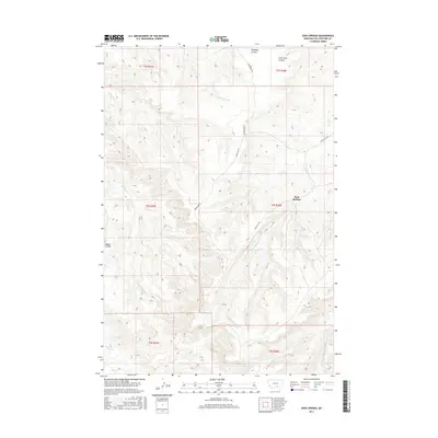
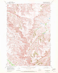 1967 Soda Springs1972 Print · USGSThe Crow Indian Reservation in the late 1960s is a landscape of complex drainage and remote springs. Genealogists and researchers can trace the course of East Fork Pryor Creek, locate the namesake Soda Springs, and follow the path of an early PIPELINE.
 - 1989 Map of Billings
 1989 Billings1989 Print · USGSThe Billings area in the late eighties shows a major regional hub at the height of its rail and river influence. Genealogists and historians can trace the development of outlying towns like Worden and Park City or the boundaries of the Crow Indian Reservation.
 - 2011 Map of Soda Springs, 2011 Print
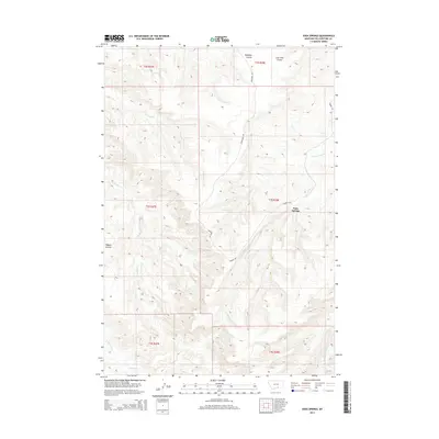
 2011 Soda Springs2011 Print · USGSCovers Soda Springs, including Yellowstone County, United States, and other nearby areas
 - 2014 Map of Soda Springs, 2014 Print
 2014 Soda Springs2014 Print · USGSCovers Soda Springs, including Yellowstone County, United States, and other nearby areas
 - 2017 Map of Soda Springs, 2017 Print
 2017 Soda Springs2017 Print · USGSCovers Soda Springs, including Yellowstone County, United States, and other nearby areas
 - 2020 Map of Soda Springs, 2020 Print
 2020 Soda Springs2020 Print · USGSCovers Soda Springs, including Yellowstone County, United States, and other nearby areas
 - 2024 Map of Soda Springs, 2024 Print
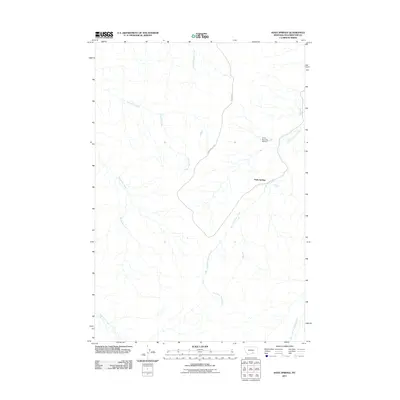
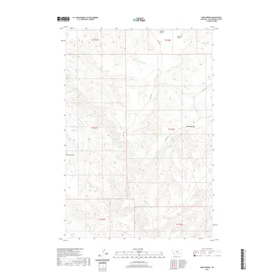
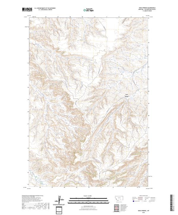 2024 Soda Springs2024 Print · USGSIn the high country of Yellowstone County, this recent survey documents the landscape around Soda Springs in 2024. Researchers can trace the drainages of East Fork Pryor Creek and Birdhead Creek along rural corridors like Indian Svc Rd.
End of results
Showing maps 1-11 of 11
Top cities near Soda Springs
Frequently asked questions
- What are the different types of historical maps available for Soda Springs?
- What is the oldest map of Soda Springs?
- Where can I purchase historical maps of Soda Springs for my home or office?
- Where can I download high-res historical maps of Soda Springs?
- Are there historical topographic maps available for Soda Springs?
- Is there historical aerial imagery available for Soda Springs?
- Where are historical maps of Soda Springs sourced from?