Old Maps of Albion, Nebraska for Academic Research
Study the evolution of Albion with 17 high-resolution historic maps. Whether you're teaching, researching, or modeling changes in land use, these maps provide essential visual documentation of urban, environmental, and geographic change.
- Analyze long-term change: Track patterns in development, transportation, and natural features.
- Ideal for environmental or urban studies: Support academic projects with primary historical map data.
- Use in the classroom or lab: Educators and researchers rely on these maps to bring historical context to life.
These maps are a powerful tool for teaching, research, and visualizing how Albion has changed over the decades.
Albion, NE maps
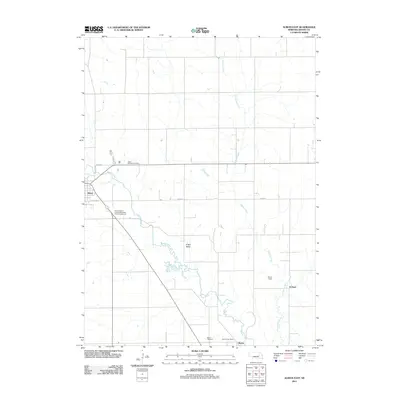
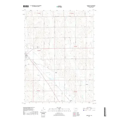
(17)- 1954 Map of Albion West, 1956 Print
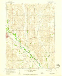
 1954 Albion West1956 Print · USGSBoone County farm life and civic development are captured here in the mid-1950s, centered on the growing town of Albion. Researchers can trace old rural school districts like School No 44 and transport landmarks such as the Packard Landing Field.2 unique versions available
 - 1955 Map of Broken Bow
 1955 Broken Bow1955 Print · USGSCentral Nebraska in the mid-fifties is defined by the sweeping Sand Hills and the vital river valleys that supported its ranching and rail towns. Researchers can trace the rail corridors of the Union Pacific RR and locate settlements like Dannebrog, Broken Bow, and Brewster.5 unique versions available
 - 1955 Map of Fremont, 1966 Print
 1955 Fremont1966 Print · USGSEastern Nebraska and the Missouri River border are captured during the mid-fifties, just as the interstate system began to emerge. Researchers can trace the development of Omaha, locate the sprawling Offutt Air Force Base, or study the river-bound ecology of the De Soto National Wildlife Refuge.3 unique versions available
 - 1956 Map of Broken Bow
 1956 Broken Bow1956 Print · USGSCentral Nebraska during the mid-fifties reveals a region defined by its river-valley railroads and the rolling Sand Hills. Genealogists and local historians can trace the paths of the Chicago Burlington and Quincy through towns like Broken Bow, Merna, and Anselmo.
 - 1957 Map of Fremont
 1957 Fremont1957 Print · USGSEastern Nebraska and western Iowa thrive along the Platte and Missouri rivers during the mid-fifties. Genealogists can locate small rural schools like Fairview School and tracing the paths of the Union Pacific through towns like Albion and Humphrey.
 - 1958 Map of Fremont
 1958 Fremont1958 Print · USGSEastern Nebraska in the late fifties is captured here as a thriving corridor of river-valley commerce and rail transport. Researchers can trace the development of Omaha and Fremont or locate local landmarks like Midland College and Offutt Air Force Base.
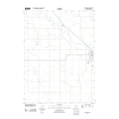
 - 1958 Map of Albion East, 1960 Print
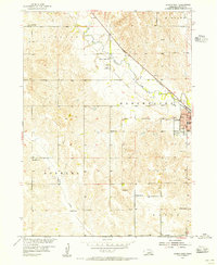
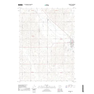
 1958 Albion East1960 Print · USGSBoone County, Nebraska, is seen here during the late 1950s as a thriving rail and agricultural hub along the Beaver Creek valley. Researchers can trace family roots through the many numbered schoolhouses like School No 74 and rural burial sites such as St Michael Cem.2 unique versions available
 - 1985 Map of Ord
 1985 Ord1985 Print · USGSCentral Nebraska's river valleys were defined by the rail and irrigation networks of the mid-1980s. Genealogists can trace family roots in towns like Ord and Albion or locate landmarks like Pilot Knob and the Pibel Lake State Recreation Area.2 unique versions available
 - 1985 Map of Stanton
 1985 Stanton1985 Print · USGSNortheast Nebraska in the mid-eighties shows a landscape of river-valley agriculture and evolving rail networks. Genealogists can trace family footprints through Stanton and Madison, or locate historical markers like the Old Indian Treaty Boundary and Saint Bernard.2 unique versions available
 - 2011 Map of Albion East, 2011 Print
 2011 Albion East2011 Print · USGSCovers Albion, including Boone, Vorhees, and other nearby areas
 - 2011 Map of Albion West, 2011 Print
 2011 Albion West2011 Print · USGSCovers Albion, including Boone County, United States, and other nearby areas
 - 2014 Map of Albion West, 2014 Print
 2014 Albion West2014 Print · USGSCovers Albion, including Boone County, United States, and other nearby areas
 - 2014 Map of Albion East, 2014 Print
 2014 Albion East2014 Print · USGSCovers Albion, including Boone, Vorhees, and other nearby areas
 - 2017 Map of Albion East, 2017 Print
 2017 Albion East2017 Print · USGSCovers Albion, including Boone, Vorhees, and other nearby areas
 - 2017 Map of Albion West, 2017 Print
 2017 Albion West2017 Print · USGSCovers Albion, including Boone County, United States, and other nearby areas
 - 2021 Map of Albion West, 2021 Print
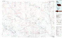
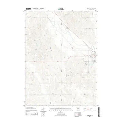
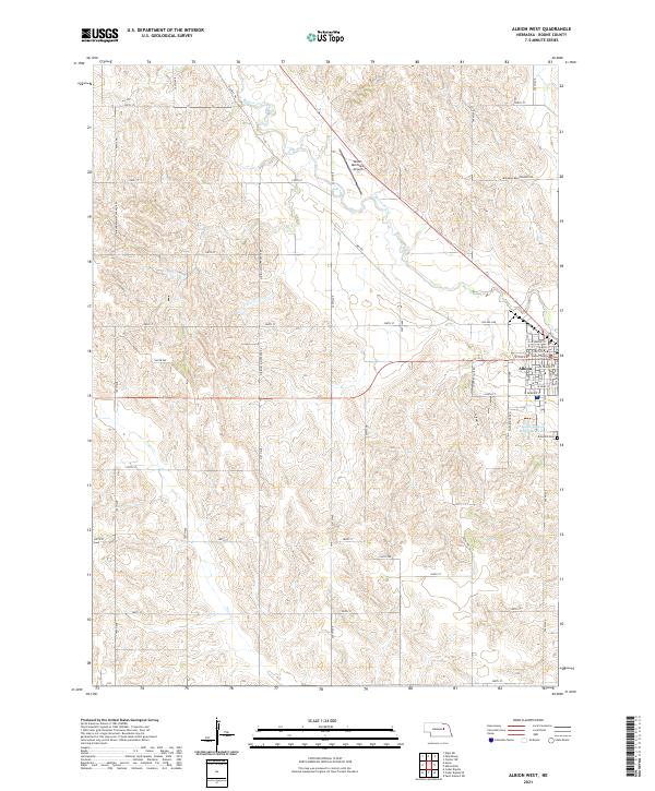 2021 Albion West2021 Print · USGSBoone County's agricultural heartland is documented here in the early 2020s, centered on the county seat. Researchers can locate the Boone County Courthouse, trace the local water flow of Beaver Creek, and find the Rose Hill Cem.
 - 2021 Map of Albion East, 2021 Print
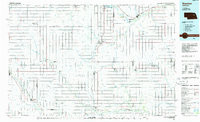
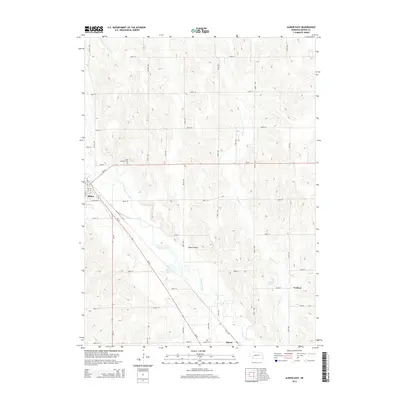
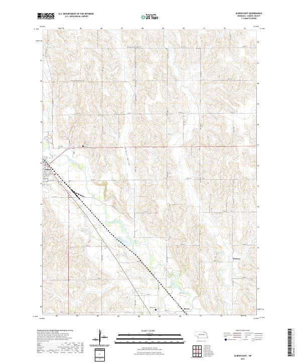 2021 Albion East2021 Print · USGSBoone County agricultural lands and the loess hill landscape are documented here in the early 2020s. Genealogists and local historians can trace family sites at Saint Michael Cem or Boone Cem and locate the small settlements of Albion and Boone.
End of results
Showing maps 1-17 of 17
Top cities near Albion
- Newman Grove historical maps
- Cedar Rapids historical maps
- Petersburg historical maps
- Belgrade historical maps
- Loretto historical maps
- Raeville historical maps
Frequently asked questions
- What are the different types of historical maps available for Albion?
- What is the oldest map of Albion?
- Where can I purchase historical maps of Albion for my home or office?
- Where can I download high-res historical maps of Albion?
- Are there historical topographic maps available for Albion?
- Is there historical aerial imagery available for Albion?
- Where are historical maps of Albion sourced from?