Old Maps of Buda, Nebraska for Genealogy
Trace your family roots with 11 historic maps of Buda. These high-res maps reveal old neighborhoods, homesites, landmarks, and streets — helping you uncover where your ancestors lived and how the area evolved over time.
- Explore historic neighborhoods: Identify where your relatives may have lived in the 1800s or 1900s.
- Compare maps over time: Trace the changes in streets, buildings, and landmarks for multi-generational research.
- Perfect for genealogy & ancestry research: Used by family historians and researchers to map out lineage and migration.
These maps are an incredible resource for exploring your personal connection to Buda's past.
Buda, NE maps
(11)- 1894 Map of Minden
 1894 Minden1894 Print · USGSCentral Nebraska at the close of the nineteenth century reveals a landscape shaped by the Platte River and its rail lines. Trace family roots in Minden or explore the river islands like Drover Island and Fort Farm Island.2 unique versions available
 - 1896 Map of Wood River
 1896 Wood River1896 Print · USGSCentral Nebraska at the close of the nineteenth century is defined by its massive river islands and burgeoning rail towns. Local historians can trace early prairie commerce through the rail lines connecting Wood River, Shelton, and the distinctive Sugar Bowl terrain.4 unique versions available
 - 1955 Map of Grand Island, 1967 Print
 1955 Grand Island1967 Print · USGSCentral Nebraska is seen here during a period of industrial and agricultural growth, centered on the vital Platte River corridor. Researchers can trace the mid-century footprints of the U S Naval Ammunition Depot and the Cornhusker Ordnance Plant.3 unique versions available
 - 1957 Map of Grand Island
 1957 Grand Island1957 Print · USGSCentral Nebraska and Northern Kansas are shown here during a period of massive hydraulic and military expansion in the mid-fifties. Researchers can trace the development of the Harlan County Reservoir and the massive wartime legacy of the Cornhusker Ordnance Plant.
 - 1958 Map of Grand Island
 1958 Grand Island1958 Print · USGSSouth-central Nebraska thrived as a rail and industrial hub during the late fifties, shaped by the braided Platte River. Genealogists and historians can trace rail lines like the Union Pacific RR through towns such as Kearney or locate the sprawling Cornhusker Ordnance Plant.
 - 1962 Map of Newark, 1963 Print
 1962 Newark1963 Print · USGSThe braided Platte River valley near the historic Kearney outpost is captured here in the early sixties. Genealogists and local historians can trace the intricate channels of Killgore Island, the grounds of Fort Kearney State Park, and the rail stops at Buda and Newark.3 unique versions available
 - 1985 Map of Grand Island
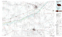 1985 Grand Island1985 Print · USGSThe Platte River valley in the mid-eighties shows a landscape of braided river channels and massive military-industrial sites. Trace the layout of the Cornhusker Ordnance Plant and find family landmarks like Parkview Cem or Good Samaritan Village.2 unique versions available
 - 2011 Map of Newark, 2011 Print
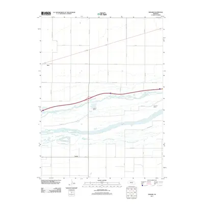 2011 Newark2011 Print · USGSThe braided Platte River valley comes into sharp focus during the early twenty-first century, showcasing a landscape defined by water and grid-lines. Genealogists and local historians can trace the areas surrounding Newark, Killgore Island, and Whisky Slough.
 - 2014 Map of Newark, 2014 Print
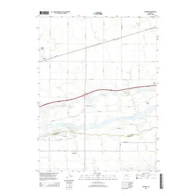 2014 Newark2014 Print · USGSThe braided channels of the Platte River split the landscape between Buffalo and Kearney counties in this early twenty-first-century survey. Genealogists and local historians can trace the rural communities of Newark and Buda or locate Killgore Island and Fort Far Island.
 - 2017 Map of Newark, 2017 Print
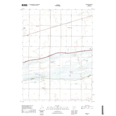 2017 Newark2017 Print · USGSKearney and Buffalo counties are defined by the multi-channeled Platte River system in this late-2010s survey. Researchers can trace the layout of Newark and Buda, or study the large river-bound landmasses of Killgore Island and Fort Farm Island.
 - 2021 Map of Newark, 2021 Print
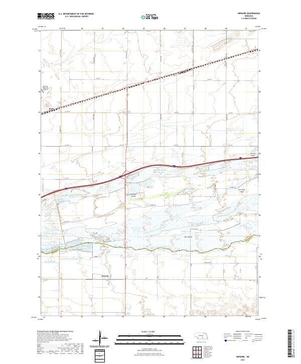 2021 Newark2021 Print · USGSThe braided channels of the Platte River south of Kearney define this recent landscape as it appeared in the early 2020s. Researchers can trace the rural communities of Newark and Buda or follow the Fort-Kearney-Hike-Bike-Trl past Killgore Island.
End of results
Showing maps 1-11 of 11
Top cities near Buda
- Kearney historical maps
- Minden historical maps
- Gibbon historical maps
- Newark historical maps
- Riverdale historical maps
- Lowell historical maps
See more
Frequently asked questions
- What are the different types of historical maps available for Buda?
- What is the oldest map of Buda?
- Where can I purchase historical maps of Buda for my home or office?
- Where can I download high-res historical maps of Buda?
- Are there historical topographic maps available for Buda?
- Is there historical aerial imagery available for Buda?
- Where are historical maps of Buda sourced from?