Old Maps of Weeping Water, Nebraska for Genealogy
Trace your family roots with 16 historic maps of Weeping Water. These high-res maps reveal old neighborhoods, homesites, landmarks, and streets — helping you uncover where your ancestors lived and how the area evolved over time.
- Explore historic neighborhoods: Identify where your relatives may have lived in the 1800s or 1900s.
- Compare maps over time: Trace the changes in streets, buildings, and landmarks for multi-generational research.
- Perfect for genealogy & ancestry research: Used by family historians and researchers to map out lineage and migration.
These maps are an incredible resource for exploring your personal connection to Weeping Water's past.
Weeping Water, NE maps
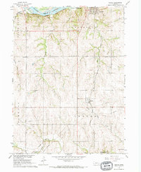
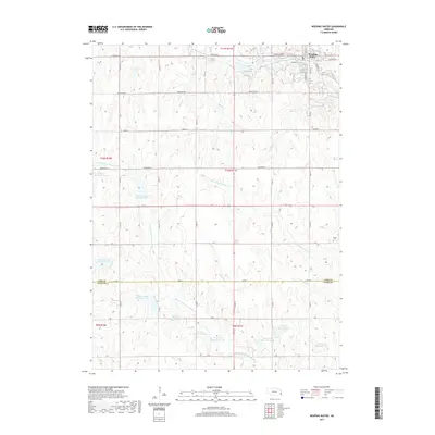
(16)- 1903 Map of Weeping Water
 1903 Weeping Water1903 Print · USGSSoutheast Nebraska at the start of the twentieth century was a thriving patchwork of rail-dependent prairie towns and river valleys. Genealogists and local historians can trace early property boundaries and township seats like Weeping Water, Syracuse, and the riverside town of Louisville.2 unique versions available
 - 1929 Map of Weeping Water
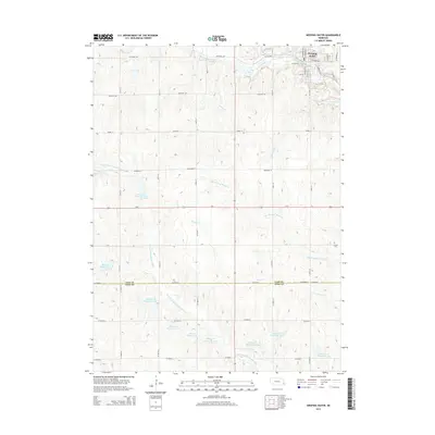
 1929 Weeping Water1929 Print · USGSEastern Nebraska's fertile prairie was a hub of railroad development and river-valley settlement at the start of the twentieth century. Researchers can trace the early layout of communities like Weeping Water, Syracuse, and Louisville along the Missouri Pacific R. R. and Platte River.
 - 1955 Map of Lincoln, 1967 Print
 1955 Lincoln1967 Print · USGSSoutheast Nebraska in the mid-fifties presents a landscape of thriving railroad towns and the expanding footprint of the capital city. Researchers can trace the legacy of the pioneer era at the Homestead National Monument of America or locate mid-century military infrastructure like Lincoln Air Force Base.5 unique versions available
 - 1957 Map of Lincoln
 1957 Lincoln1957 Print · USGSSoutheastern Nebraska at mid-century shows a landscape of thriving rail towns and expanding infrastructure centered on Lincoln. Researchers can trace the path of the Chicago Burlington and Quincy railroad through communities like Weeping Water, Fairmont, and Seward.
 - 1958 Map of Lincoln
 1958 Lincoln1958 Print · USGSSoutheast Nebraska at the end of the 1950s shows a region defined by agricultural trade and the expansion of the state capital. Genealogists can trace family footprints across the Blue Valley and locate landmarks like the Lincoln AFB or the U.S. Veterans Hospital.
 - 1966 Map of Manley, 1968 Print
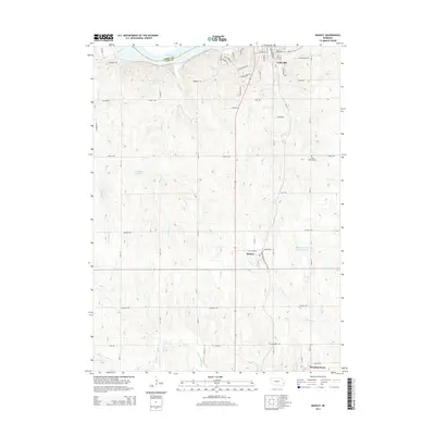
 1966 Manley1968 Print · USGSCentral Cass County in the mid-1960s is defined by its strategic position between the Platte River and productive uplands. Researchers can locate family landmarks like St Patricks Cem, Dutch Sch, and the rail junction at Manley.
 - 1966 Map of Weeping Water, 1968 Print
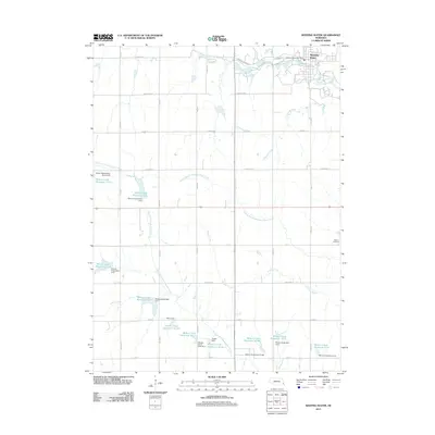
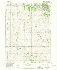 1966 Weeping Water1968 Print · USGSSoutheast Nebraska was a landscape of active limestone production and rural school districts in the mid-sixties. Trace the Missouri Pacific rail line as it passes through Weeping Water near local landmarks like Avoca Cem and Pine Sch.
 - 1986 Map of Lincoln
 1986 Lincoln1986 Print · USGSMid-century development and the rail-and-river economy of southeastern Nebraska are clear in this 1980s survey. Researchers can trace the sprawling rail networks of the Burlington Northern and locate historic sites like Union College and the State Capitol.2 unique versions available
 - 2011 Map of Manley, 2011 Print
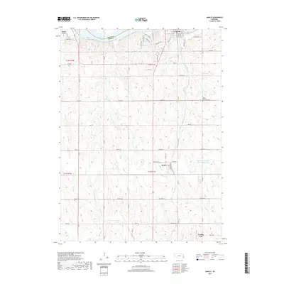
 2011 Manley2011 Print · USGSCovers Weeping Water, including Louisville, Manley, and other nearby areas
 - 2011 Map of Weeping Water, 2011 Print
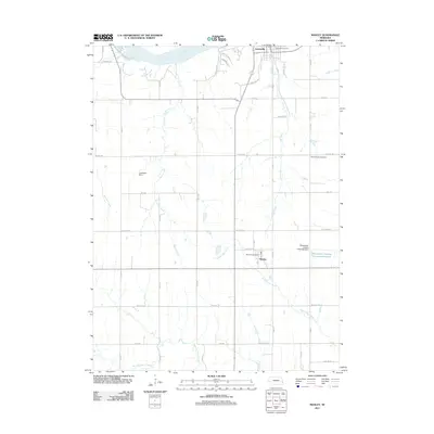
 2011 Weeping Water2011 Print · USGSCovers Weeping Water, including Cass County, Otoe County, and other nearby areas
 - 2014 Map of Weeping Water, 2014 Print
 2014 Weeping Water2014 Print · USGSCovers Weeping Water, including Cass County, Otoe County, and other nearby areas
 - 2014 Map of Manley, 2014 Print
 2014 Manley2014 Print · USGSCovers Weeping Water, including Louisville, Manley, and other nearby areas
 - 2017 Map of Manley, 2017 Print
 2017 Manley2017 Print · USGSCovers Weeping Water, including Louisville, Manley, and other nearby areas
 - 2017 Map of Weeping Water, 2017 Print
 2017 Weeping Water2017 Print · USGSCovers Weeping Water, including Cass County, Otoe County, and other nearby areas
 - 2021 Map of Weeping Water, 2021 Print
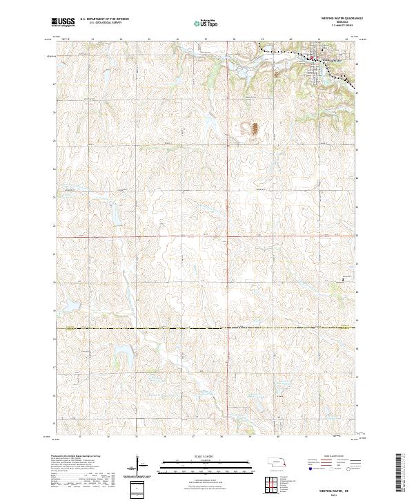 2021 Weeping Water2021 Print · USGSThe town of Weeping Water and the surrounding Nebraska prairie are captured here in recent years. Researchers can trace family sites at Oakwood Cem or follow the numerous local waterworks like Wilson Cr Reservoir 12-25.
 - 2021 Map of Manley, 2021 Print
 2021 Manley2021 Print · USGSEastern Nebraska’s agricultural heartland is documented here in the early twenty-first century as small towns like Manley and Louisville anchor the rolling plains. Researchers can trace family sites at Saint Patricks Cem or follow the winding S Cedar Cr and the historic path of the Platte River.
End of results
Showing maps 1-16 of 16
Top cities near Weeping Water
- Bellevue historical maps
- Plattsmouth historical maps
- Gretna historical maps
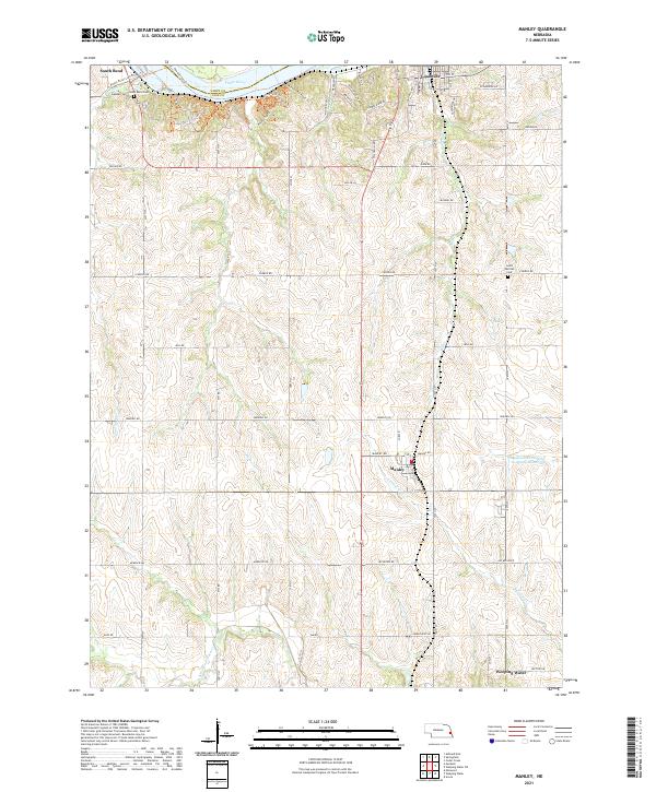
- Ashland historical maps
- Syracuse historical maps
- Springfield historical maps
See more
Frequently asked questions
- What are the different types of historical maps available for Weeping Water?
- What is the oldest map of Weeping Water?
- Where can I purchase historical maps of Weeping Water for my home or office?
- Where can I download high-res historical maps of Weeping Water?
- Are there historical topographic maps available for Weeping Water?
- Is there historical aerial imagery available for Weeping Water?
- Where are historical maps of Weeping Water sourced from?