2020s Maps of Cheyenne County, Nebraska
Explore 32 historic maps of Cheyenne County from the 2020s. These maps offer a rare glimpse into what life looked like during the 2020s — showing old roads, neighborhoods, homes, and landmarks that have changed or disappeared over time.
Whether you're researching your family's past, planning a metal detecting trip, or studying how Cheyenne County's landscape evolved across the 2020s, these high-resolution maps are a powerful tool for exploring the history of this region.
- Focus on a specific era: All maps on this page are from the 2020s, giving you a focused view of this time period.
- See what’s changed: Compare century-old streets, trails, and buildings to today's modern landscape using overlays and satellite layers.
- Research with precision: Use these maps for genealogy, historical research, land use analysis, or educational projects.
- View, download, or print: Maps are fully viewable online in high resolution, and can be downloaded or printed for your own records.
Start exploring Cheyenne County's history through authentic maps from the 2020s. This is your window into the past.
Cheyenne County, NE maps
(32)- 2021 Map of Potter SE, 2021 Print
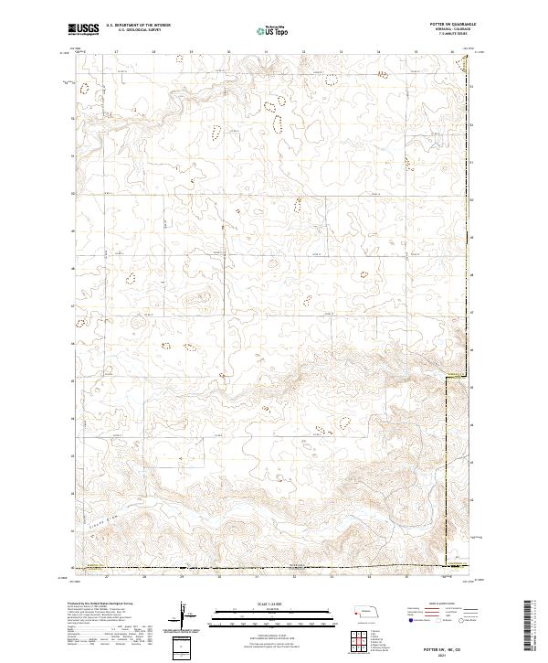
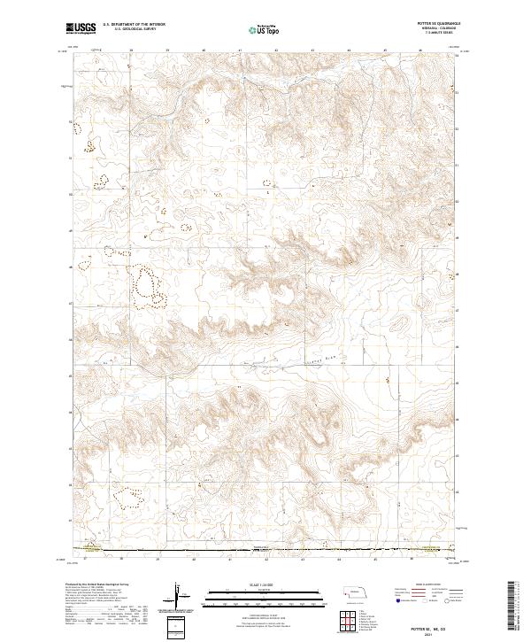 2021 Potter SE2021 Print · USGSThe Nebraska panhandle meets the Colorado border in the early 2020s, showing a landscape of high-plains agriculture and section-line roads. Researchers can trace land ownership and rural transit patterns along Sidney Draw and routes like Rd 12 and Rd 2.
 - 2021 Map of Mud Springs, 2021 Print
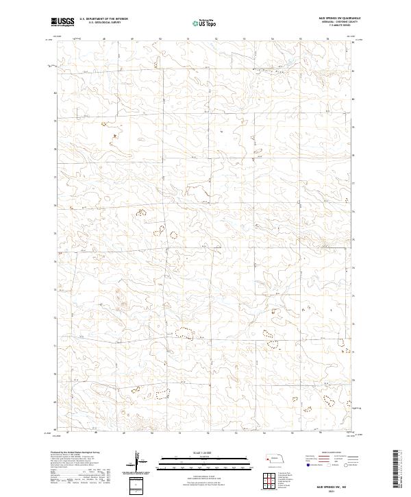
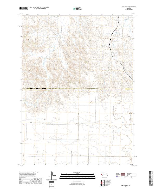 2021 Mud Springs2021 Print · USGSMorrill and Cheyenne counties in the Nebraska Panhandle are captured here in the early 2020s, showing a landscape of high plains ranch land and ephemeral drainages. Genealogists and researchers can trace local land divisions around Mud Springs and along the banks of Greenwood Creek.
 - 2021 Map of Gurley, 2021 Print
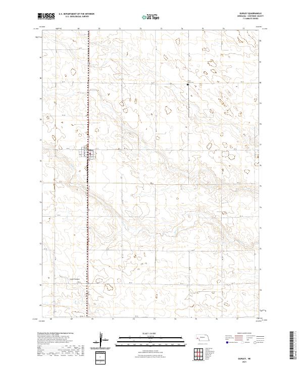 2021 Gurley2021 Print · USGSThe village of Gurley and its surrounding wheat-country acreage are captured here in the early 2020s. Researchers can trace the local street grid near Front St or locate the rural Union Valley Cem and the natural landmarks of Cedar Canyon.
 - 2021 Map of Lawrence Fork, 2021 Print
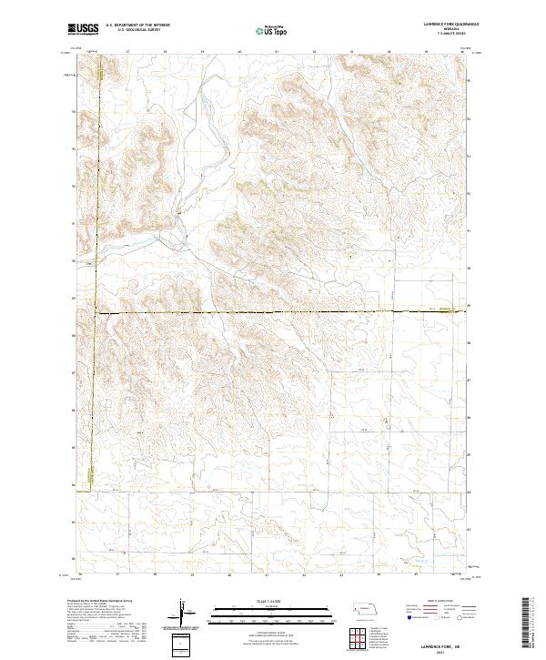 2021 Lawrence Fork2021 Print · USGSMorrill and Banner counties meet at the Lawrence Fork during the early 2020s, showing the intersection of rural Nebraska prairie life and modern land management. Trace the winding course of Lawrence Fork or locate section lines along Co Rd 14 and Rd 56.
 - 2021 Map of Mud Springs SW, 2021 Print
 2021 Mud Springs SW2021 Print · USGSWestern Nebraska's high plains are mapped here in the early twenty-first century, showing the enduring township and range system. Modern researchers can trace the rural landscape along Wild Horse Draw and follow the paths of Rush Cr and Rd 52.
 - 2021 Map of Dalton SE, 2021 Print
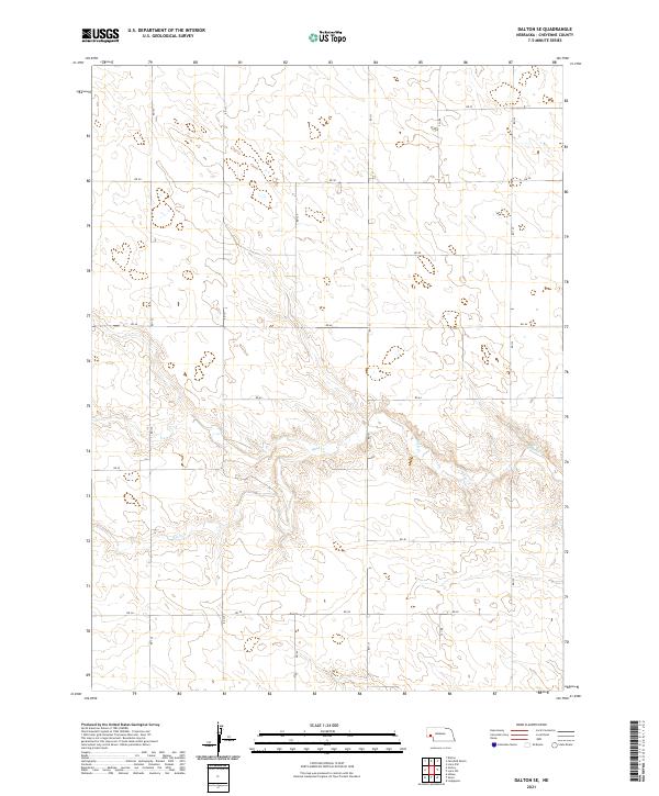 2021 Dalton SE2021 Print · USGSCheyenne County’s high plains and seasonal drainages are documented in this recent survey of the Nebraska panhandle. Researchers can trace the intersection of section-line roads like RD 50 and RD 135 as they cross the winding path of Rush Cr.
 - 2021 Map of Mount Vernon, 2021 Print
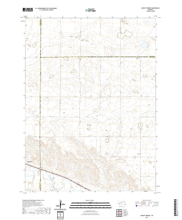 2021 Mount Vernon2021 Print · USGSThe high plains of the Nebraska Panhandle are captured here in the early twenty-first century, spanning the borders of Deuel, Cheyenne, and Garden counties. Researchers can trace the path of Lodgepole Cr and locate rural landmarks like Mt Vernon and Lodgepole.
 - 2021 Map of Easterly Airport, 2021 Print
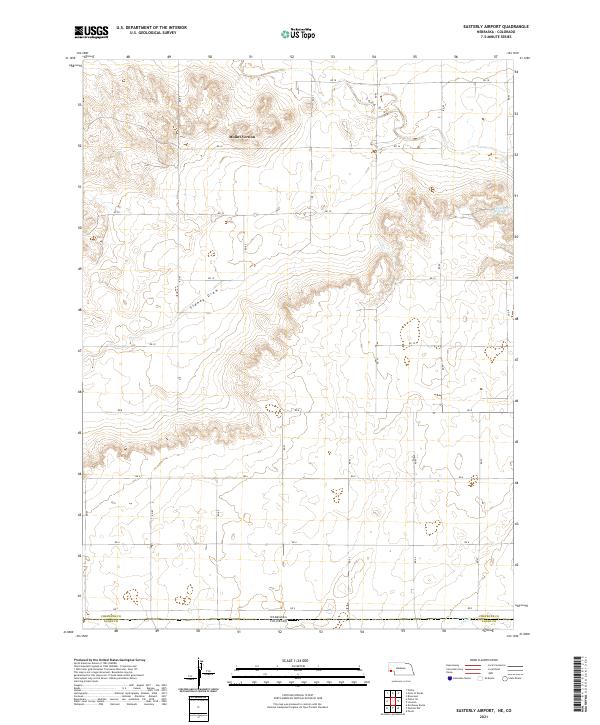 2021 Easterly Airport2021 Print · USGSThe high plains of the Nebraska-Colorado border are documented here in the early twenty-first century. Genealogists and land researchers can trace property boundaries and road networks near Mount Vernon, Chambers Spring, and the winding path of Sidney Draw.
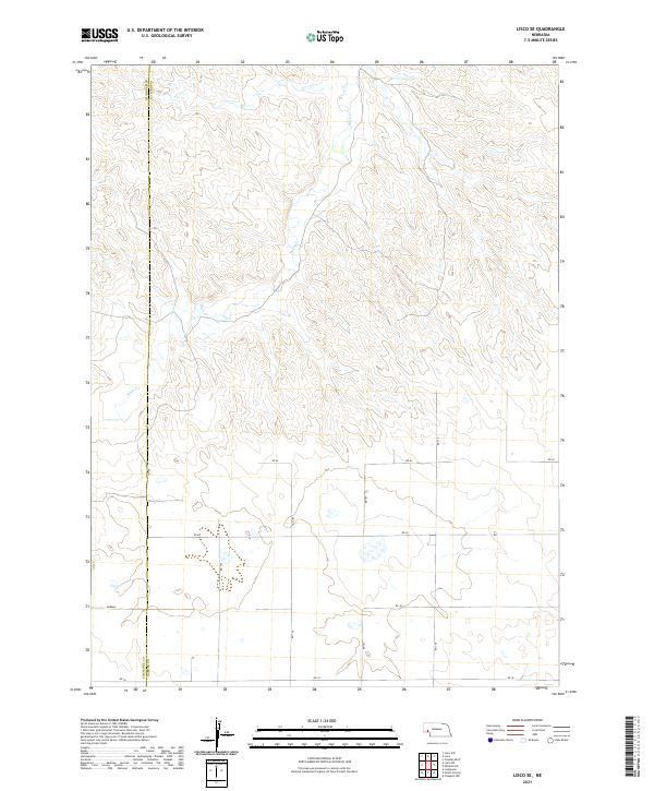
 - 2021 Map of Lisco SW, 2021 Print
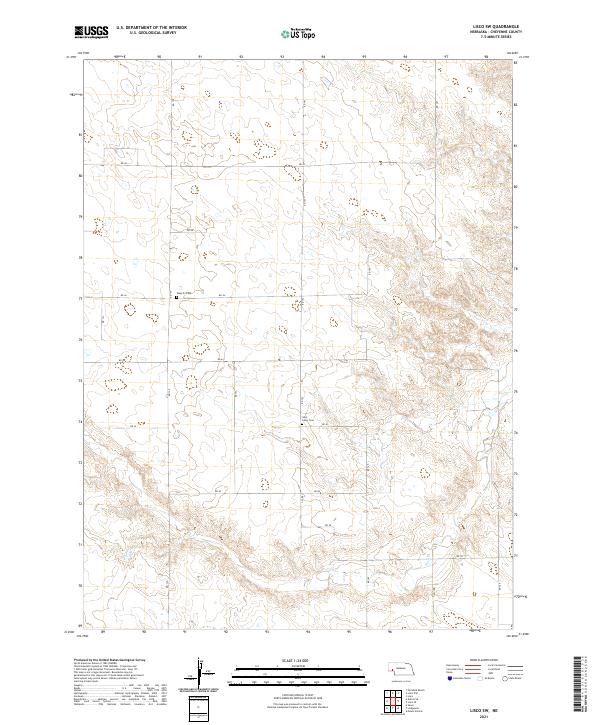 2021 Lisco SW2021 Print · USGSIn the Nebraska Panhandle during the early twenty-first century, this landscape shows the quiet continuity of rural Cheyenne County. Family historians can locate specific sites like Weyerts Cem and Saint Johns Cem along the banks of Rush Cr.
 - 2021 Map of Sidney SE, 2021 Print
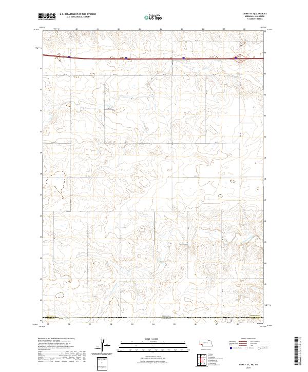 2021 Sidney SE2021 Print · USGSThe high plains border between Nebraska and Colorado is captured here in the early twenty-first century. Researchers can trace the section lines and rural paths like RD 12 as they cross the seasonal waters of Cow Creek and Cottonwood Creek.
 - 2021 Map of Lodgepole, 2021 Print
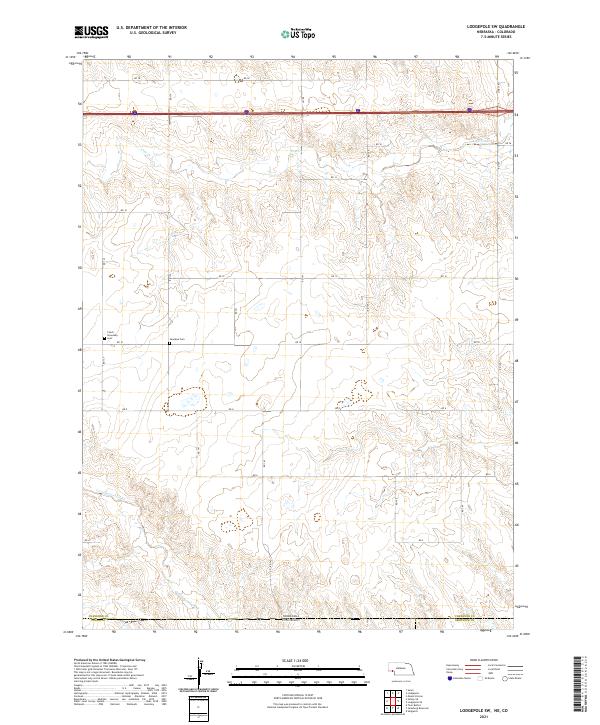
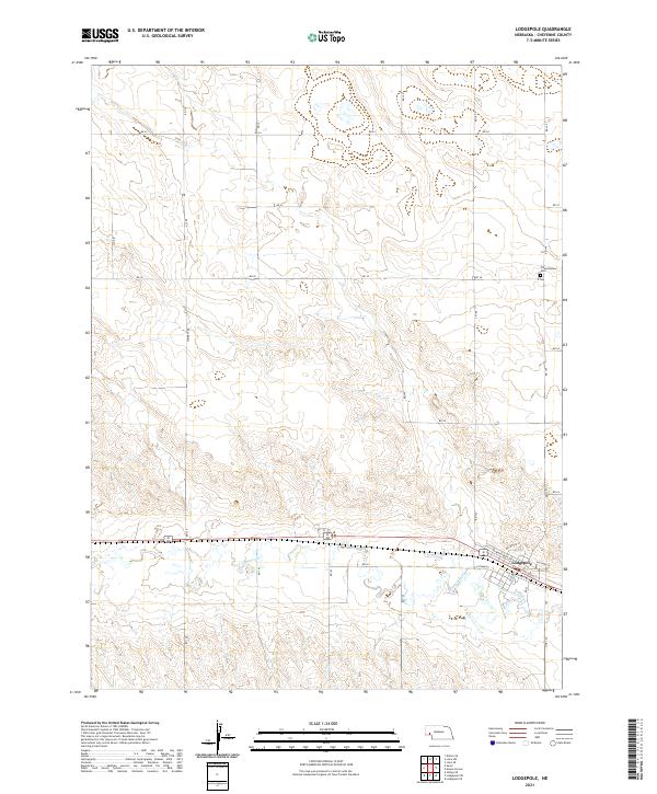 2021 Lodgepole2021 Print · USGSCheyenne County is documented here in the early twenty-first century as the community of Lodgepole continues its long history along the creek valley. Genealogists and local historians can trace town streets like Sheldon St or locate the rural Pleasantview Cem.
 - 2021 Map of Singleton Ranch, 2021 Print
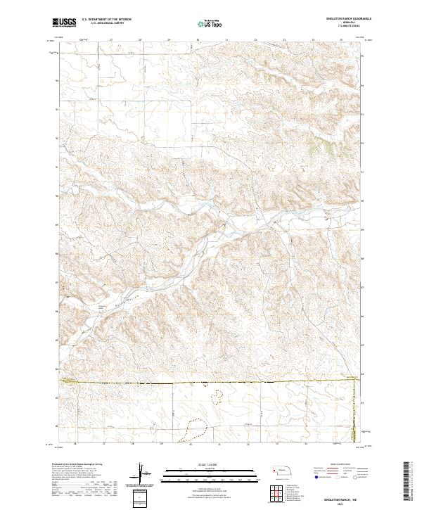 2021 Singleton Ranch2021 Print · USGSBanner County ranchlands are captured here in the early twenty-first century as the landscape follows the winding path of Lawrence Fork. Researchers can trace the section-line roads and remote outposts like Singleton Ranch and the rugged contours of Rocky Hollow.
 - 2021 Map of Horsehead Ranch, 2021 Print
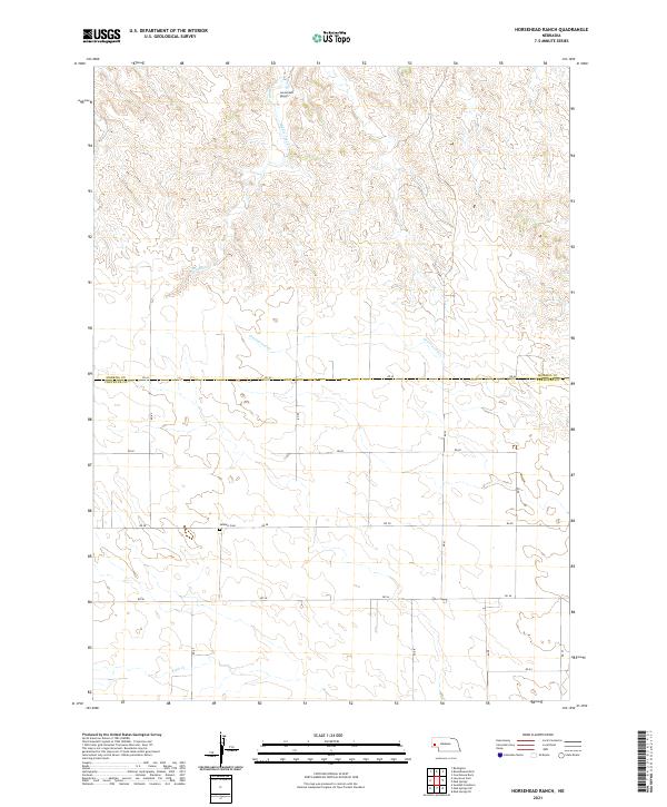 2021 Horsehead Ranch2021 Print · USGSWestern Nebraska ranching country is shown here in the early twenty-first century near the Morrill and Cheyenne county line. Family history researchers can locate Sanders Cem and trace the rural road network connecting Horsehead Ranch to Middle Creek.
 - 2021 Map of Dalton, 2021 Print
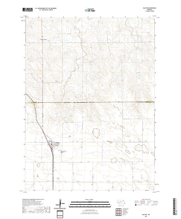 2021 Dalton2021 Print · USGSNear the Morrill County line, the village of Dalton stands as a local hub in the 2020s. Researchers can trace the layout of the town's core along Main St or locate family records at the Dalton Cem and Saint Marys Cem.
 - 2021 Map of Lisco, 2021 Print
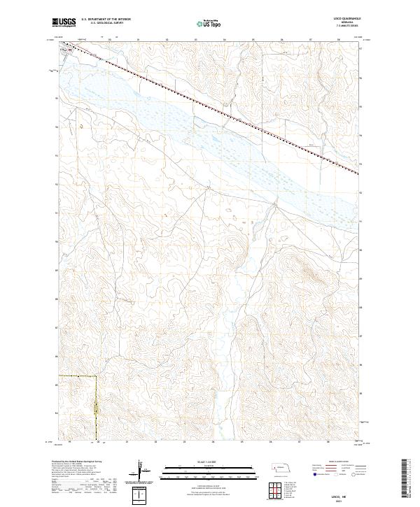 2021 Lisco2021 Print · USGSIn the valley of the North Platte River during the early 2020s, this area shows the vital irrigation infrastructure of the Nebraska panhandle. Researchers can trace the path of the Lisco Canal through Lisco and locate the county line at Cheyenne Co Garden Co.
 - 2021 Map of Sunol, 2021 Print
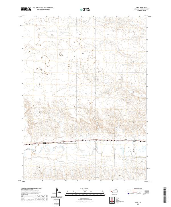 2021 Sunol2021 Print · USGSCheyenne County at the start of the 2020s shows a landscape still defined by the historic corridor of the Lodgepole Cr valley. Researchers can trace the section-line roads and small rail-aligned settlements of Sunol and Colton as they exist today.
 - 2021 Map of Sidney, 2021 Print
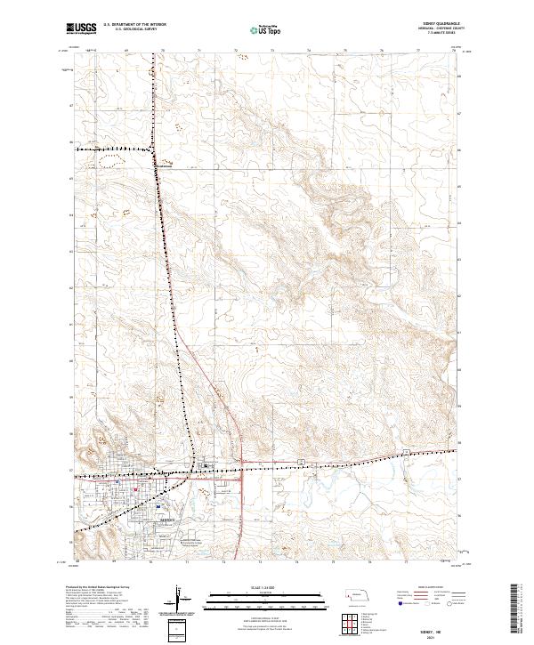 2021 Sidney2021 Print · USGSCovers Cheyenne County, including Sidney, Huntsman, and other nearby areas
 - 2021 Map of Brownson, 2021 Print
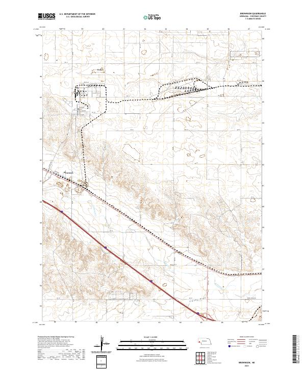 2021 Brownson2021 Print · USGSCheyenne County at the start of the 2020s shows a landscape of expansive rural grids and isolated settlements like Potter and Brownson. Genealogists and researchers can trace local routes and water features including Lodgepole Cr and Sidney Draw.
 - 2021 Map of Fairchild Ranch, 2021 Print
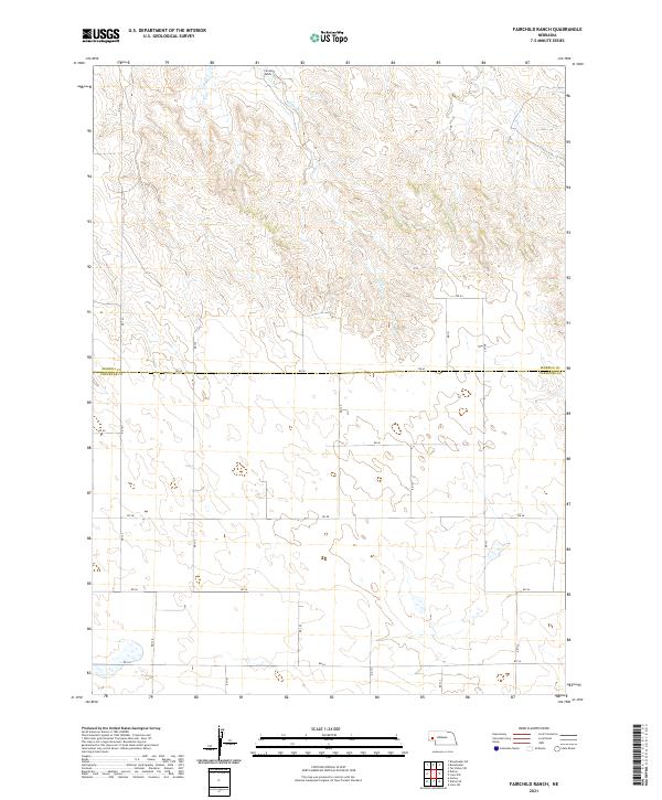 2021 Fairchild Ranch2021 Print · USGSThe Nebraska Panhandle's ranching landscape is documented here in the early twenty-first century as it spans the county line. Researchers can trace rural property boundaries and water sources like Fairchild Ranch and the winding course of Cedar Creek.
 - 2021 Map of Lisco SE, 2021 Print
 2021 Lisco SE2021 Print · USGSThe high plains of western Nebraska are captured here in the early 2020s, showcasing the intersection of the Cheyenne and Garden county lines. Genealogists and local historians can trace the rural settlement of Abrams and the winding course of Rush Creek through a grid of country routes like Rd 42.
 - 2021 Map of Potter SW, 2021 Print
 2021 Potter SW2021 Print · USGSThe high plains of the Nebraska-Colorado border are captured here in the early twenty-first century, showing a remote agricultural landscape. Genealogists and land researchers can trace the intersection of Kimball Co and Logan Co along Sidney Draw and Co Rd 18.
 - 2021 Map of Lisco NW, 2021 Print
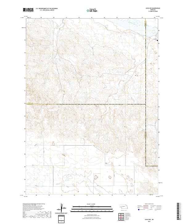 2021 Lisco NW2021 Print · USGSThe Nebraska Panhandle's jurisdictional heart comes into focus here in the early twenty-first century. Genealogists and local historians can trace family roots at the Lisco Memorial Cem or follow the path of the North Platte River and Belmont Canal.
 - 2021 Map of Bethel Cemetery, 2021 Print
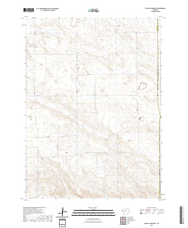 2021 Bethel Cemetery2021 Print · USGSThe High Plains of the Nebraska panhandle are captured in this recent survey, showcasing the rural landscape at the junction of Kimball Co and Cheyenne Co. Researchers can trace local section lines and find the secluded Bethel Cem along the grid of Co Rd 42.
 - 2021 Map of Mud Springs SE, 2021 Print
 2021 Mud Springs SE2021 Print · USGSCheyenne County’s rural high plains are documented in this recent survey, capturing the region's agricultural layout and open terrain. Genealogists and local historians can locate Salem Cem and trace the paths of Rush Cr and various section-line roads.
 - 2021 Map of Lodgepole SW, 2021 Print
 2021 Lodgepole SW2021 Print · USGSThe Nebraska-Colorado borderlands come into focus in this recent survey of the High Plains agricultural landscape. Genealogists and local historians can locate community landmarks like the Czech Slovensky Cemetery and the Swankee Cemetery along the Cow Creek drainage.
Showing maps 1-25 of 32
Top cities of Cheyenne County
- Sidney historical maps
- Lodgepole historical maps
- Potter historical maps
- Dalton historical maps
- Gurley historical maps
- Sunol historical maps
See more
Frequently asked questions
- What are the different types of historical maps available for Cheyenne County?
- What is the oldest map of Cheyenne County?
- Where can I purchase historical maps of Cheyenne County for my home or office?
- Where can I download high-res historical maps of Cheyenne County?
- Are there historical topographic maps available for Cheyenne County?
- Is there historical aerial imagery available for Cheyenne County?
- Where are historical maps of Cheyenne County sourced from?