2010s Maps of Cheyenne County, Nebraska
Explore 104 historic maps of Cheyenne County from the 2010s. These maps offer a rare glimpse into what life looked like during the 2010s — showing old roads, neighborhoods, homes, and landmarks that have changed or disappeared over time.
Whether you're researching your family's past, planning a metal detecting trip, or studying how Cheyenne County's landscape evolved across the 2010s, these high-resolution maps are a powerful tool for exploring the history of this region.
- Focus on a specific era: All maps on this page are from the 2010s, giving you a focused view of this time period.
- See what’s changed: Compare century-old streets, trails, and buildings to today's modern landscape using overlays and satellite layers.
- Research with precision: Use these maps for genealogy, historical research, land use analysis, or educational projects.
- View, download, or print: Maps are fully viewable online in high resolution, and can be downloaded or printed for your own records.
Start exploring Cheyenne County's history through authentic maps from the 2010s. This is your window into the past.
Cheyenne County, NE maps
(104)- 2010 Map of Lodgepole SE, 2010 Print
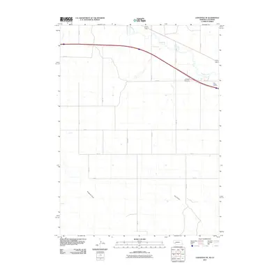 2010 Lodgepole SE2010 Print · USGSDeuel County's agricultural landscape is captured here in the early twenty-first century as modern transit corridors intersect traditional ranchlands. Genealogists can locate Saint Joseph Cemetery, while researchers can trace the seasonal flows of Sedgwick Draw and Lodgepole Creek.
 - 2010 Map of Potter SE, 2010 Print
 2010 Potter SE2010 Print · USGSThe high plains of the Nebraska-Colorado border are defined here by a vast agricultural grid and intermittent watercourses. Researchers can trace the path of Sidney Draw, the placement of Olsen Dam, and an extensive network of early 21st-century section-line roads like Road 12.
 - 2010 Map of Lorenzo, 2010 Print
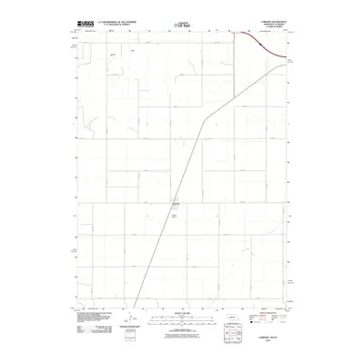 2010 Lorenzo2010 Print · USGSLorenzo and the surrounding high plains of Cheyenne County are captured here at the start of the 2010s. Researchers can trace the intersection of regional transport and agriculture through landmarks like Phelps Airport and the course of Cow Creek.
 - 2010 Map of Potter SW, 2010 Print
 2010 Potter SW2010 Print · USGSLogan County, Colorado, and the Nebraska border appear as a strictly organized agricultural grid in this twenty-first-century survey. Genealogists and land researchers can trace property boundaries along Sidney Draw or locate specific sections using County Rd-12 and Road 59 E.
 - 2010 Map of Sidney SE, 2010 Print
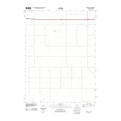 2010 Sidney SE2010 Print · USGSThe high plains of the Nebraska-Colorado border are documented here in the early twenty-first century. Researchers can trace the intersection of section-line routes like Road 16 with local water management features such as the Curtiselsen Dam.
 - 2010 Map of Easterly Airport, 2010 Print
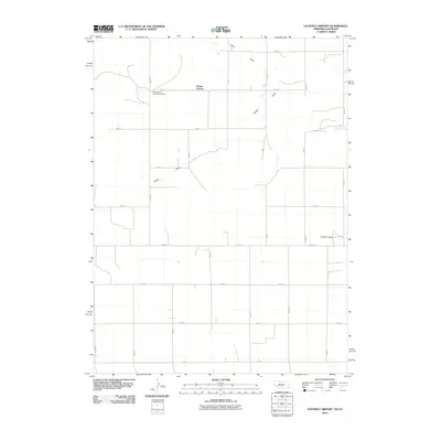 2010 Easterly Airport2010 Print · USGSThe High Plains of Cheyenne County are captured here in the early twenty-first century, showcasing a landscape of section-line roads and rural settlement. Researchers can locate the Mount Vernon Community Center, the Easterly Airport, and seasonal water features like Sand Draw.
 - 2010 Map of Lodgepole SW, 2010 Print
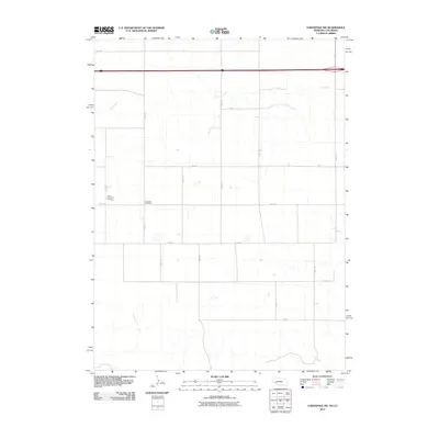 2010 Lodgepole SW2010 Print · USGSLogan County, Colorado, is shown in the early twenty-first century as a landscape of grid-patterned agriculture and legacy homesteads. Genealogists can locate family sites near the Czech Slovensky Cemetery, Swankee Cemetery, and the banks of Cow Creek.
 - 2010 Map of Sidney Municipal Airport, 2010 Print
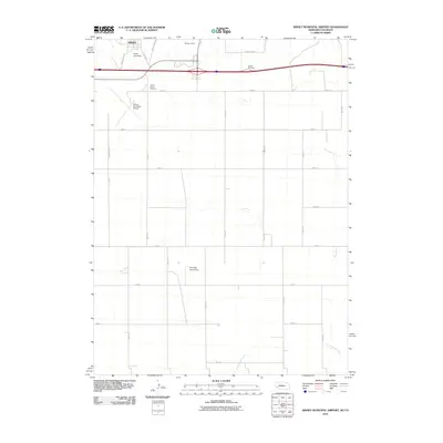 2010 Sidney Municipal Airport2010 Print · USGSSidney and the surrounding Cheyenne County plains are shown during a period of modern aviation and interstate growth. Researchers can locate the Grand Prairie Cemetery, Sidney Municipal Airport, and the historic route of Fort Sidney Rd.
 - 2011 Map of Sunol, 2011 Print
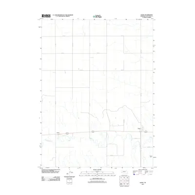 2011 Sunol2011 Print · USGSIn the Nebraska panhandle during the early twenty-first century, the Lodgepole Creek valley remains the heart of local transit and settlement. Researchers can trace the layout of Sunol and Colton or locate the site of the Odaniel Dam along the water.
 - 2011 Map of Fairchild Ranch, 2011 Print
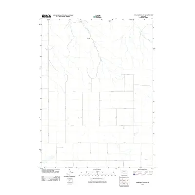 2011 Fairchild Ranch2011 Print · USGSCheyenne County ranch lands are mapped here in the early twenty-first century, showing the intersection of prairie drainages and section-line roads. Trace the remote landscape surrounding Fairchild Ranch, Cedar Creek, and water resources like Policky Dam.
 - 2011 Map of Dalton SE, 2011 Print
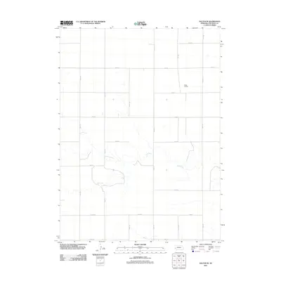 2011 Dalton SE2011 Print · USGSCheyenne County is shown during the early twenty-first century as a landscape of structured high-plains agriculture. Researchers can trace the winding path of Rush Creek and locate family-named landmarks like the Miller Airstrip and Egging Rd.
 - 2011 Map of Lisco SW, 2011 Print
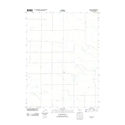 2011 Lisco SW2011 Print · USGSCheyenne County land at the start of the 2010s shows a vast agricultural grid shaped by the path of Rush Creek. Genealogists and local historians can locate Saint Johns Cemetery and trace the section roads like Road 143 and Road 50.
 - 2011 Map of Mount Vernon, 2011 Print
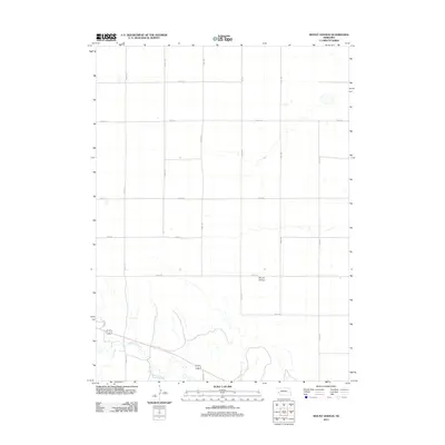 2011 Mount Vernon2011 Print · USGSThe Nebraska panhandle at the start of the decade reveals a landscape structured by rural grids and creek beds. Genealogists and researchers can trace local land divisions along Lodgepole Creek and explore the network of county routes such as Road 157 and Mount Vernon.
 - 2011 Map of Gurley, 2011 Print
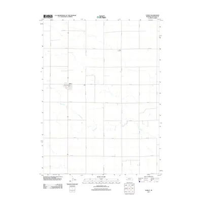 2011 Gurley2011 Print · USGSCheyenne County agriculture and the village of Gurley are documented here in the early twenty-first century. Genealogists and local researchers can locate the Babb Cemetery and trace the meandering course of Rush Creek across the sectioned prairie landscape.
 - 2011 Map of Lodgepole SE, 2011 Print
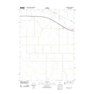 2011 Lodgepole SE2011 Print · USGSDeuel County, Nebraska, is seen here in the early twenty-first century as a landscape of structured agricultural grids and prairie waterways. Local historians can locate Saint Joseph Cemetery and trace the paths of Lodgepole Creek and Cole Creek.
 - 2011 Map of Lodgepole, 2011 Print
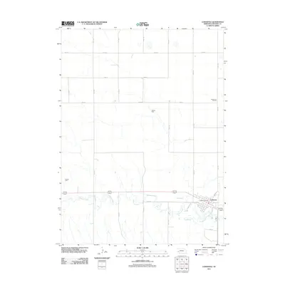 2011 Lodgepole2011 Print · USGSLodgepole and the surrounding Cheyenne County plains are documented here in the early twenty-first century. Researchers can trace local genealogy at Pleasantview Cemetery or explore the town's core near the Lodgepole Post Office and Lodgepole Creek.
 - 2011 Map of Lodgepole SW, 2011 Print
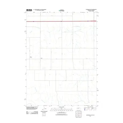 2011 Lodgepole SW2011 Print · USGSThis Logan County landscape at the Colorado-Nebraska border reveals a traditional grid of section roads and quiet rural landmarks. Genealogists and local historians can locate the Czech Slovensky Cemetery and Swankee Cemetery near Cow Creek.
 - 2011 Map of Dalton, 2011 Print
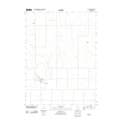 2011 Dalton2011 Print · USGSDalton and the surrounding Nebraska ranch lands are captured here in the early twenty-first century. Researchers can locate family plots at Dalton Cemetery and Saint Marys Cemetery or trace the geography of the Fairchild Ranch and Lookout Mound.
 - 2011 Map of Lisco SE, 2011 Print
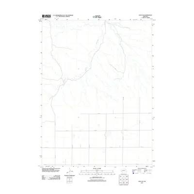 2011 Lisco SE2011 Print · USGSCheyenne County is shown here in the early twenty-first century, characterized by its distinct transition from natural watercourses to a rigid section-line road grid. You can trace the winding path of Rush Creek or follow the agricultural network along Road 40 and Road 157.
 - 2011 Map of Dix, 2011 Print
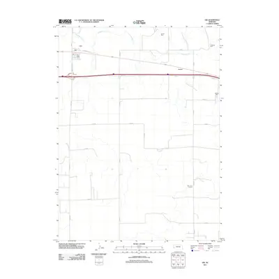 2011 Dix2011 Print · USGSKimball County agriculture and transportation are captured here in the early twenty-first century as the village of Dix remains a key stop on the High Plains. Researchers can trace local landmarks like the Dix Cemetery, the Bar J Lazy V Airport, and water management at Kenton Dam.
 - 2011 Map of Singleton Ranch, 2011 Print
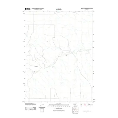 2011 Singleton Ranch2011 Print · USGSWestern Nebraska ranching life in the early twenty-first century is centered on the wide drainages and section-line roads of Cheyenne County. Researchers can trace land management and property lines around Singleton Ranch, Singleton Dam Number 1, and the winding Lawrence Fork.
 - 2011 Map of Lisco, 2011 Print
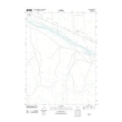 2011 Lisco2011 Print · USGSThe North Platte River valley near Garden County remains a landscape of vital irrigation and river-fronted settlement in the early twenty-first century. Researchers can trace the layout of Lisco, including the Lisco Post Office and the path of the Lisco Canal.
 - 2011 Map of Smyrna Cemetery, 2011 Print
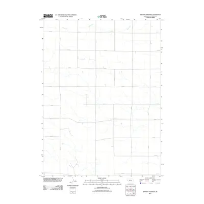 2011 Smyrna Cemetery2011 Print · USGSCheyenne County at the start of the 2010s reveals a landscape defined by an unwavering grid of agricultural section lines. Genealogists and local historians can trace family land boundaries along Road 81 and Road 77 or follow the path of Rush Creek.
 - 2011 Map of Lawrence Fork, 2011 Print
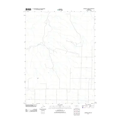 2011 Lawrence Fork2011 Print · USGSCheyenne County ranchlands and early homesteads are documented in this 2011 survey of the Nebraska plains. Genealogists and local historians can locate family burial sites like Bethel Cemetery and Swedish Cemetery, as well as the historic Singleton Ranch.
 - 2011 Map of Lisco NW, 2011 Print
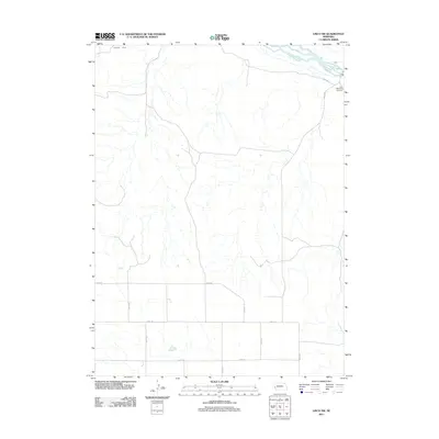 2011 Lisco NW2011 Print · USGSCheyenne County and the river valley are captured here in the early twenty-first century as the agricultural grid remains unchanged. Trace family history at the Lisco Memorial Cemetery and follow the irrigation paths of the Belmont Canal.
Showing maps 1-25 of 104
Top cities of Cheyenne County
- Sidney historical maps
- Lodgepole historical maps
- Potter historical maps
- Dalton historical maps
- Gurley historical maps
- Sunol historical maps
See more
Frequently asked questions
- What are the different types of historical maps available for Cheyenne County?
- What is the oldest map of Cheyenne County?
- Where can I purchase historical maps of Cheyenne County for my home or office?
- Where can I download high-res historical maps of Cheyenne County?
- Are there historical topographic maps available for Cheyenne County?
- Is there historical aerial imagery available for Cheyenne County?
- Where are historical maps of Cheyenne County sourced from?