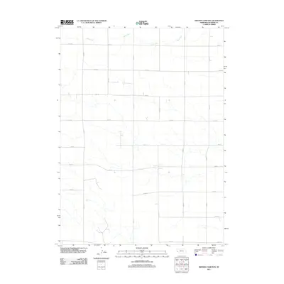
2011 Map of Smyrna Cemetery
USGS Topo · Published 2011About this map
Rush Creek meanders across the northern reaches of this Cheyenne County landscape, providing a rare hydraulic break in an otherwise strictly gridded agricultural expanse. This area of Nebraska is defined by a rigorous network of section-line roads, such as Road 52 and Road 81, which delineate the massive tracts of prairie and farmland. The map reflects a modern era of rural organization where the landscape is almost entirely partitioned by these thoroughfares, including Road 77 and Road 44. While the terrain appears sparse, the placement of these roads reveals the enduring legacy of the Public Land Survey System, which continues to dictate the movement and settlement patterns throughout the High Plains. Researchers can trace the intersections of these numbered routes to locate family homesteads and agricultural sites that have anchored this region for generations.
Find a feature on this map
16 named features on this map. Tap any name to fly to it.
Don’t see what you’re looking for? This feature index may not catch every label — zoom into the map to look around manually.
Map Details
Editions of this 2011 Smyrna Cemetery Map
This is the sole edition of this map. No revisions or reprints were ever made.
Other maps of this area

1954 · Scottsbluff
USGS Topo · 1:250,000

1958 · Scottsbluff
USGS Topo · 1:250,000

1972 · Mud Springs SW
USGS Topo · 1:24,000

1972 · Dix
USGS Topo · 1:24,000

1972 · Point Of Rocks
USGS Topo · 1:24,000

1972 · Horsehead Ranch
USGS Topo · 1:24,000

1972 · Potter
USGS Topo · 1:24,000

1973 · Potter 2 SW
USGS Topo · 1:24,000

1973 · Potter 2 SE
USGS Topo · 1:24,000

1973 · Potter 2 NW
USGS Topo · 1:24,000