
1972 Map of Mud Springs SW
USGS Topo · Published 1975About this map
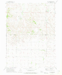
Agricultural lands and emerging energy resources define this corner of Cheyenne County in the early 1970s. The landscape is characterized by intermittent drainage patterns like Wild Horse Draw and Rush Creek, with the small community of Maas serving as a local landmark. Religious life in the rural sections is anchored by the St Pauls Ch and its adjacent Cem, as well as the Seventh-day Adventist Ch located further north.
Find a feature on this map
12 named features on this map. Tap any name to fly to it.
Don’t see what you’re looking for? This feature index may not catch every label — zoom into the map to look around manually.
Map Details
Editions of this 1972 Mud Springs SW Map
This is the sole edition of this map. No revisions or reprints were ever made.
Other maps of this area

1954 · Scottsbluff
USGS Topo · 1:250,000

1958 · Scottsbluff
USGS Topo · 1:250,000

1972 · Point Of Rocks
USGS Topo · 1:24,000

1972 · Brownson
USGS Topo · 1:24,000

1972 · Horsehead Ranch
USGS Topo · 1:24,000

1972 · Mud Springs SE
USGS Topo · 1:24,000
1972 · Mud Springs
USGS Topo · 1:24,000

1972 · Potter
USGS Topo · 1:24,000

1973 · Potter 2 SE
USGS Topo · 1:24,000
1973 · Potter 2 NE
USGS Topo · 1:24,000