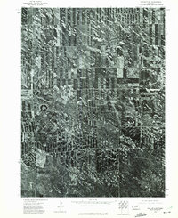
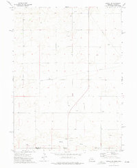
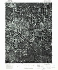
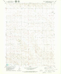
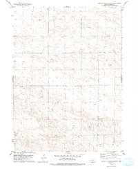
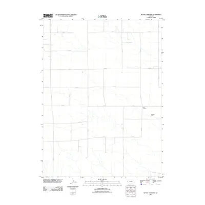
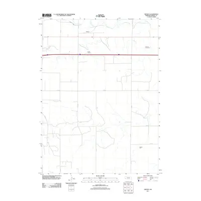
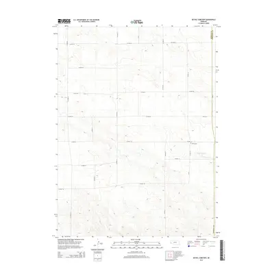
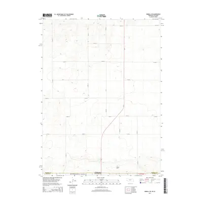
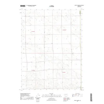
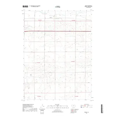
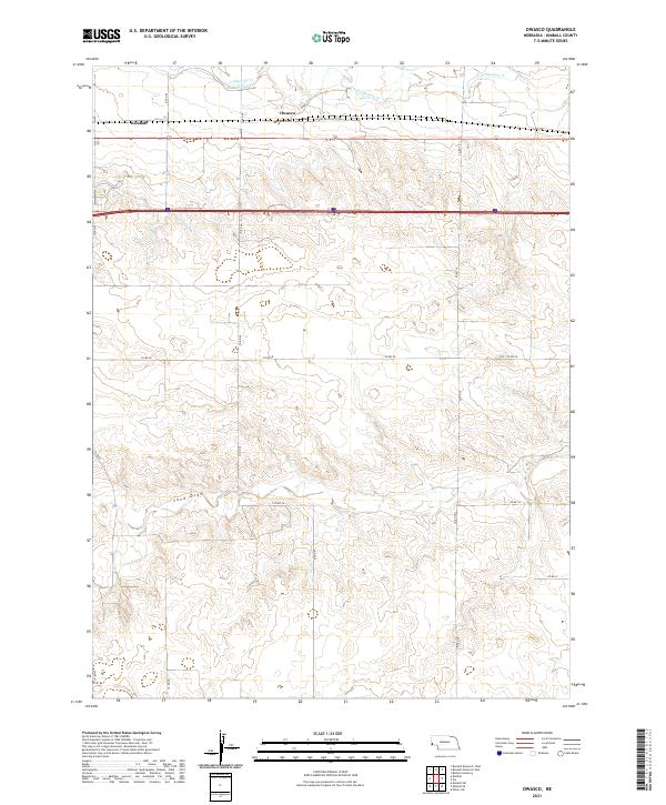
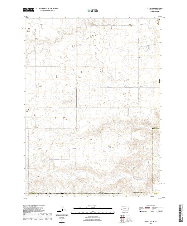
1973 Map of Potter 2 SW
USGS Topo · Published 1974This historical map portrays the area of Potter 2 SW in 1973, primarily covering Kimball County as well as portions of Cheyenne County. Featuring a scale of 1:24,000, this map provides a highly detailed snapshot of the terrain, roads, buildings, counties, and historical landmarks in the Potter 2 SW region at the time. Published in 1974, it is the sole known edition of this map.
Map Details
Editions of this 1973 Potter 2 SW Map
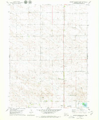
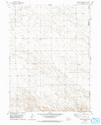
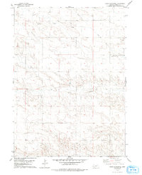
This is the sole edition of this map. No revisions or reprints were ever made.
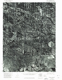
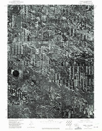
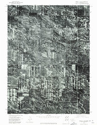
Historical Maps of Kimball County Through Time
66 maps found
1972 Bushnell SE
Kimball County, NE
1972 Bushnell SW
Kimball County, NE
1972 Kimball SE
Kimball County, NE
1972 Kimball SW
Kimball County, NE
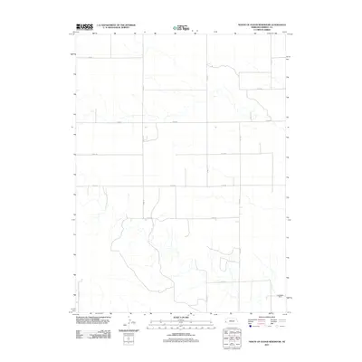
1972 Oliver Reservoir
Kimball County, NE
1972 Owasco
Kimball County, NE
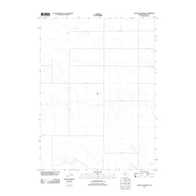
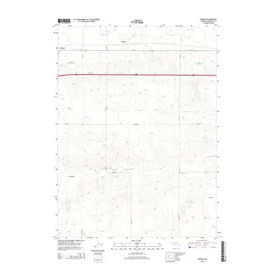
1972 Potter SW
Kimball County, NE
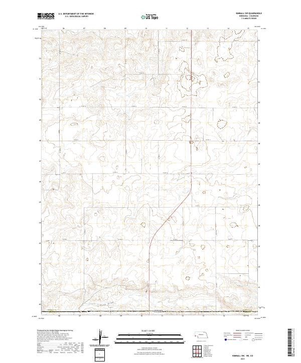
1973 Kimball 1 SE
Kimball County, NE
1973 Kimball 1 SW
Kimball County, NE
1973 Kimball 2 SE
Kimball County, NE
1973 Kimball 2 SW
Kimball County, NE
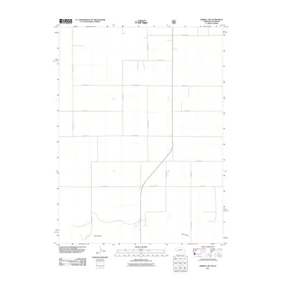
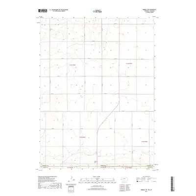
1973 Potter 2 SW
Kimball County, NE
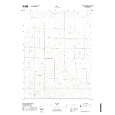
1979 Bennett Reservoir East
Kimball County, NE
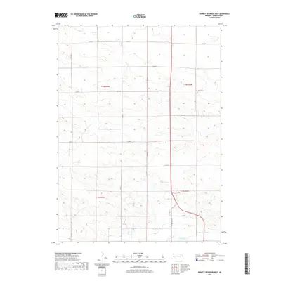
1979 Bennett Reservoir West
Kimball County, NE
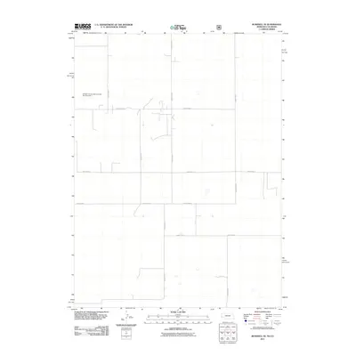
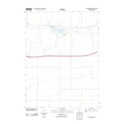
1979 Bethel Cemetery
Kimball County, NE
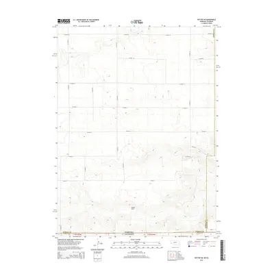
1979 North Of Bushnell
Kimball County, NE
1979 North Of Oliver Reservoir
Kimball County, NE
2010 Potter SW
Kimball County, NE
2011 Bennett Reservoir East
Kimball County, NE
2011 Bennett Reservoir West
Kimball County, NE
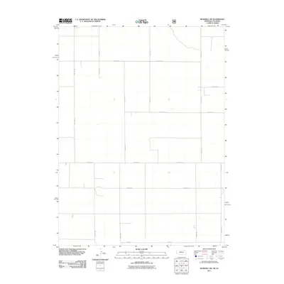
2011 Bethel Cemetery
Kimball County, NE
2011 Bushnell SE
Kimball County, NE
2011 Bushnell SW
Kimball County, NE
2011 Kimball SE
Kimball County, NE
2011 Kimball SW
Kimball County, NE
2011 North of Bushnell
Kimball County, NE
2011 North of Oliver Reservoir
Kimball County, NE
2011 Oliver Reservoir
Kimball County, NE
2011 Owasco
Kimball County, NE
2011 Potter SW
Kimball County, NE
2014 Bennett Reservoir East
Kimball County, NE
2014 Bennett Reservoir West
Kimball County, NE
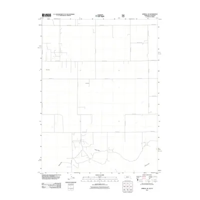
2014 Bethel Cemetery
Kimball County, NE
2014 Bushnell SE
Kimball County, NE
2014 Bushnell SW
Kimball County, NE
2014 Kimball SE
Kimball County, NE
2014 Kimball SW
Kimball County, NE
2014 North of Bushnell
Kimball County, NE
2014 North of Oliver Reservoir
Kimball County, NE
2014 Oliver Reservoir
Kimball County, NE
2014 Owasco
Kimball County, NE
2014 Potter SW
Kimball County, NE
2017 Bennett Reservoir East
Kimball County, NE
2017 Bennett Reservoir West
Kimball County, NE
2017 Bethel Cemetery
Kimball County, NE
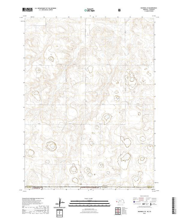
2017 Bushnell SE
Kimball County, NE
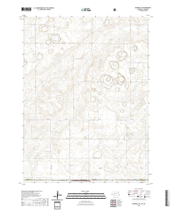
2017 Bushnell SW
Kimball County, NE
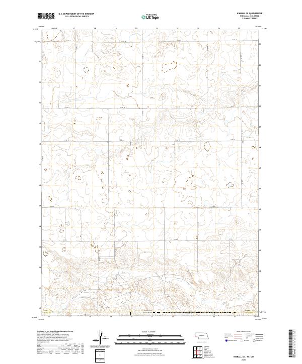
2017 Kimball SE
Kimball County, NE
2017 Kimball SW
Kimball County, NE
2017 North of Bushnell
Kimball County, NE
2017 North of Oliver Reservoir
Kimball County, NE
2017 Oliver Reservoir
Kimball County, NE
2017 Owasco
Kimball County, NE
2017 Potter SW
Kimball County, NE
2021 Bennett Reservoir East
Kimball County, NE
2021 Bennett Reservoir West
Kimball County, NE
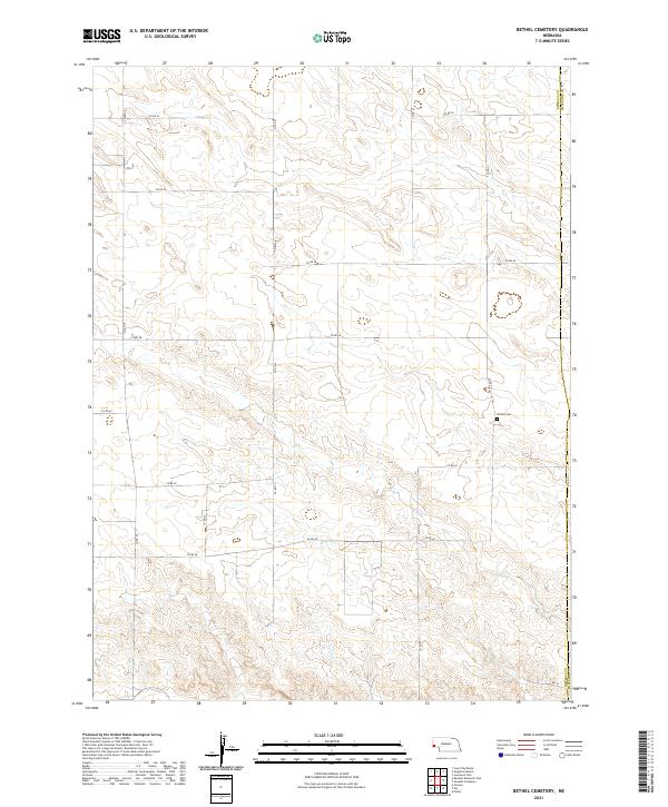
2021 Bethel Cemetery
Kimball County, NE
2021 Bushnell SE
Kimball County, NE
2021 Bushnell SW
Kimball County, NE
2021 Kimball SE
Kimball County, NE
2021 Kimball SW
Kimball County, NE
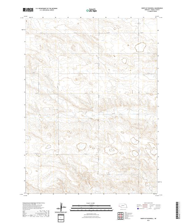
2021 North of Bushnell
Kimball County, NE
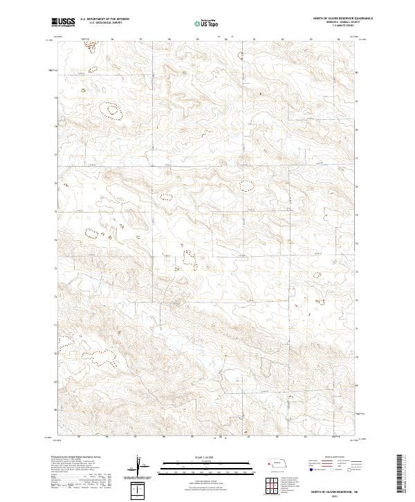
2021 North of Oliver Reservoir
Kimball County, NE
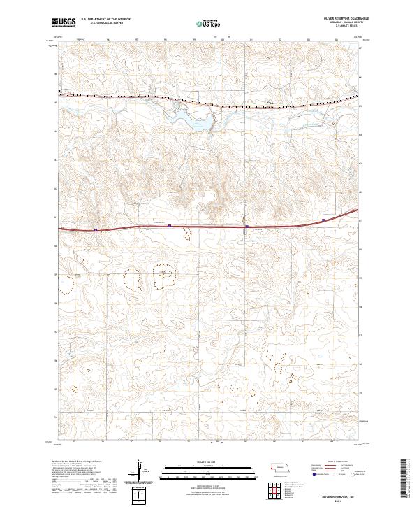
2021 Oliver Reservoir
Kimball County, NE
2021 Owasco
Kimball County, NE
2021 Potter SW
Kimball County, NE