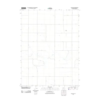
2011 Map of Dalton SE
USGS Topo · Published 2011About this map
Rush Creek meanders across this rural section of Cheyenne County, creating the primary topographic relief in a landscape otherwise defined by a precise grid of agricultural transport routes. This 2011 survey reveals a territory organized for modern high-plains farming, where roads like Road 50 and Road 135 segment the terrain into uniform sections. A notable departure from the agricultural grid is the Miller Airstrip, located in the northeast quadrant, which highlights the importance of private aviation for oversight and accessibility in this expansive environment. Local names like Egging Rd reflect the enduring presence of specific families in the region, offering a touchstone for genealogists tracking land use and legacy in the Nebraska panhandle. The map captures a moment of established rural infrastructure, where the natural course of the creek and a network of gravel and dirt roads dictated the flow of daily life.
Find a feature on this map
18 named features on this map. Tap any name to fly to it.
Don’t see what you’re looking for? This feature index may not catch every label — zoom into the map to look around manually.
Map Details
Editions of this 2011 Dalton SE Map
This is the sole edition of this map. No revisions or reprints were ever made.
Other maps of this area

1899 · Sidney
USGS Topo · 1:125,000

1954 · Scottsbluff
USGS Topo · 1:250,000

1958 · Scottsbluff
USGS Topo · 1:250,000

1972 · Lisco NW
USGS Topo · 1:24,000

1972 · Gurley
USGS Topo · 1:24,000
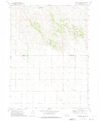
1972 · Fairchild Ranch
USGS Topo · 1:24,000

1972 · Lodgepole
USGS Topo · 1:24,000

1972 · Lisco SW
USGS Topo · 1:24,000
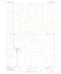
1972 · Dalton
USGS Topo · 1:24,000

1972 · Sunol
USGS Topo · 1:24,000