1970s Maps of Cheyenne County, Nebraska
Explore 36 historic maps of Cheyenne County from the 1970s. These maps offer a rare glimpse into what life looked like during the 1970s — showing old roads, neighborhoods, homes, and landmarks that have changed or disappeared over time.
Whether you're researching your family's past, planning a metal detecting trip, or studying how Cheyenne County's landscape evolved across the 1970s, these high-resolution maps are a powerful tool for exploring the history of this region.
- Focus on a specific era: All maps on this page are from the 1970s, giving you a focused view of this time period.
- See what’s changed: Compare century-old streets, trails, and buildings to today's modern landscape using overlays and satellite layers.
- Research with precision: Use these maps for genealogy, historical research, land use analysis, or educational projects.
- View, download, or print: Maps are fully viewable online in high resolution, and can be downloaded or printed for your own records.
Start exploring Cheyenne County's history through authentic maps from the 1970s. This is your window into the past.
Cheyenne County, NE maps
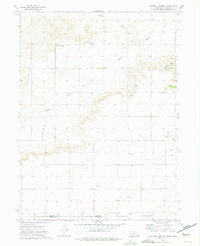
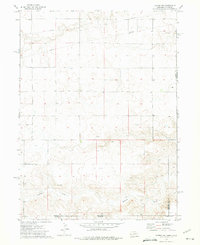
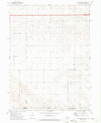
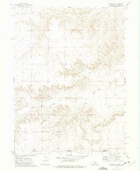
(36)- 1972 Map of Lisco NW
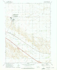
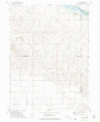 1972 Lisco NW1972 Print · USGSThe North Platte River valley in the early seventies preserves the path of the legendary Oregon Trail alongside modern irrigation canals. Genealogists and historians can locate the Lisco Memorial Cem and trace local county boundaries and utility lines like the Pipeline.
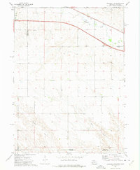
 - 1972 Map of Gurley, 1975 Print
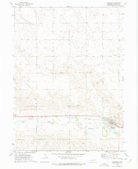
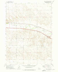
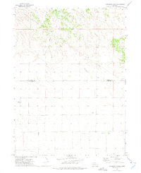
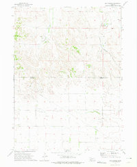
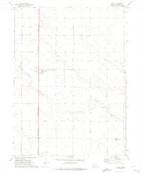 1972 Gurley1975 Print · USGSCheyenne County's high plains are captured here in the early 1970s, focused on the rail-aligned town of Gurley. Genealogists and local researchers can trace the Burlington Northern line and locate sites like Babb Cem and the extensive Oil Field.
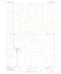
 - 1972 Map of Mud Springs SW, 1975 Print
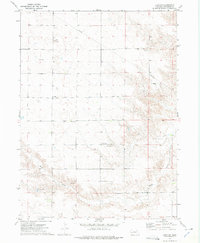
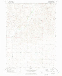
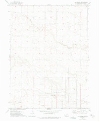
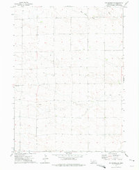 1972 Mud Springs SW1975 Print · USGSHigh plains farming and energy development meet in 1970s Cheyenne County. Genealogists and local historians can trace rural landmarks including St Pauls Ch, the settlement at Maas, and the Seventh-day Adventist Ch along the drainage of Rush Creek.
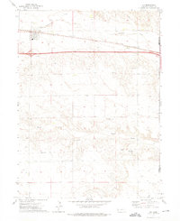
 - 1972 Map of Fairchild Ranch, 1975 Print
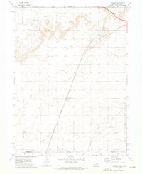
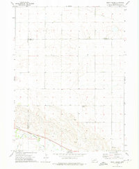
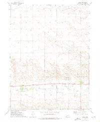
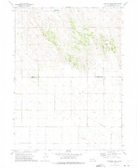 1972 Fairchild Ranch1975 Print · USGSThe Nebraska high plains at the Morrill and Cheyenne county line are captured here in the early seventies. Genealogists and local historians can trace family land and water rights near Fairchild Ranch, Fairchild, and the waters of Cedar Creek.
 - 1972 Map of Easterly Airport, 1975 Print
 1972 Easterly Airport1975 Print · USGSThe Nebraska-Colorado state line is captured here in the early 1970s, showcasing a landscape of high plains ranching and active oil exploration. Researchers can locate the Mount Vernon Community Center, the Easterly Airport, and the seasonal paths of Sand Draw.
 - 1972 Map of Lodgepole, 1975 Print
 1972 Lodgepole1975 Print · USGSLodgepole sits at the heart of the Nebraska panhandle during the early seventies, where the railway and creek define the local geography. Researchers can trace family sites at Pleasantview Cem and explore the industrial footprint of the Union Pacific and several local Gravel Pits.
 - 1972 Map of Lisco SW, 1975 Print
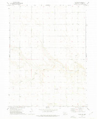
 1972 Lisco SW1975 Print · USGSCheyenne County's high plains are documented here in the early seventies as a network of rural schools and churches. Researchers can locate family landmarks like St Johns Cemetery, Eagle School, and Immanuel Church along the banks of Rush Creek.
 - 1972 Map of Lorenzo, 1975 Print
 1972 Lorenzo1975 Print · USGSThe Nebraska-Colorado border country comes into focus in the early 1970s, showcasing a landscape of high plains industry and rail-line settlements. You can trace the Burlington Northern tracks past the Cem at Lorenzo down to the border hamlet of Nebco.
 - 1972 Map of Potter SW, 1975 Print
 1972 Potter SW1975 Print · USGSThe Nebraska and Colorado borderlands meet in this early 1970s survey, capturing a landscape defined by ranching terrain and energy development. Researchers can trace industrial growth through an extensive Oil Field, numerous Oil Wells, and the path of Sidney Draw.
 - 1972 Map of Lodgepole SE, 1975 Print
 1972 Lodgepole SE1975 Print · USGSThe Nebraska-Colorado borderlands come into focus in the early 1970s, showing the intersection of interstate travel and historic rail. Researchers can trace the path of the Union Pacific along Lodgepole Creek or locate local landmarks like St Joseph Cem.
 - 1972 Map of Dalton, 1975 Print
 1972 Dalton1975 Print · USGSDalton and the Nebraska Panhandle high plains are captured here in the early seventies, centered on the Burlington Northern rail line. Researchers can trace local genealogy at St Marys Cem or locate the numerous Oil Wells and Gravel Pits that drove the local economy.
 - 1972 Map of Dix, 1975 Print
 1972 Dix1975 Print · USGSThe Nebraska panhandle in the early seventies reveals a landscape shaped by the rail-and-oil economy near Dix. Researchers can trace the Union Pacific corridor through Jacinto or locate the Dix Cem and the Bar J Lazy V Airport.
 - 1972 Map of Lodgepole SW, 1975 Print
 1972 Lodgepole SW1975 Print · USGSThe Nebraska-Colorado borderlands are captured here in the early 1970s, showing a remote agricultural landscape shaped by high plains drainages. Genealogists can locate specific burial sites like Czech Slovensky Cem and Swankee Cem near the seasonal banks of Cow Creek.
 - 1972 Map of Point Of Rocks, 1975 Print
 1972 Point Of Rocks1975 Print · USGSCheyenne County's High Plains landscape is captured here in the early seventies, showing the vital transit corridor along Lodgepole Creek. Local historians can trace the parallel routes of the Union Pacific and Interstate 80 near the landmark Point of Rocks.
 - 1972 Map of Lisco SE, 1975 Print
 1972 Lisco SE1975 Print · USGSGarden and Cheyenne counties are captured in the early 1970s during a period of steady ranching and utility expansion. Researchers can trace the path of Rush Creek across the high plains and locate local landmarks like Chulik and a remote Radio Tower.
 - 1972 Map of Mount Vernon, 1975 Print
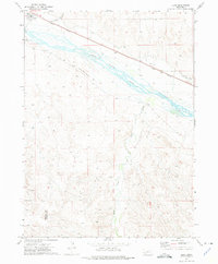
 1972 Mount Vernon1975 Print · USGSDeuel County and its neighbors at the start of the seventies showcase a high-plains landscape defined by the Union Pacific and Lodgepole Creek. Researchers can locate the small community of Mount Vernon, the Isley locality, and a rural Landing Strip.
 - 1972 Map of Brownson, 1975 Print
 1972 Brownson1975 Print · USGSCheyenne County witnessed a period of industrial and military evolution in the 1970s as energy production and education repurposed the plains. You can trace the massive Abandoned Ammunition Depot, the campus of Western Nebraska Technical College, and the sprawling Oil Field.
 - 1972 Map of Horsehead Ranch, 1975 Print
 1972 Horsehead Ranch1975 Print · USGSThe Nebraska panhandle's ranching and energy landscape is captured here in the early 1970s. Genealogists and historians can locate Sanders Cem and rural settlements like Walsh and Ickes alongside oil wells and the Horsehead Ranch.
 - 1972 Map of Mud Springs SE, 1975 Print
 1972 Mud Springs SE1975 Print · USGSCheyenne County ranching country and military history intersect in the early 1970s. Genealogists and researchers can trace local landmarks like Salem Cem and Center Sch or investigate the grid of the Abandoned Ammunition Depot.
 - 1972 Map of Sunol, 1975 Print
 1972 Sunol1975 Print · USGSCheyenne County as it appeared in the early 1970s shows a landscape defined by the Union Pacific railroad and the energy industry. Genealogists and historians can trace the community of Sunol, find the Liberty Sch, and locate numerous Oil Wells across the northern plateau.
 - 1972 Map of Potter SE, 1975 Print
 1972 Potter SE1975 Print · USGSThe Nebraska and Colorado border region in the early seventies reveals a landscape of high plains drainage and industrial utility. Genealogists and local historians can trace the small settlement of Olsen and activity near Sidney Draw or the various Gravel Pits.
 - 1972 Map of Mud Springs, 1975 Print
 1972 Mud Springs1975 Print · USGSWestern Nebraska ranching country meets the energy frontier in the early 1970s along the Cheyenne and Morrill county line. Researchers can locate the site of Mud Springs Sch or trace the early Oil Field infrastructure near Deep Holes Creek.
 - 1972 Map of Dalton SE, 1975 Print
 1972 Dalton SE1975 Print · USGSCheyenne County land was undergoing industrial and agricultural shifts in the early 1970s. Genealogists and local historians can trace family locations near Spearow, locate the Grand Prairie Sch, and identify early Oil Well sites along Rush Creek.
 - 1972 Map of Lisco, 1975 Print
 1972 Lisco1975 Print · USGSGarden County's river valley comes alive in the 1970s, showcasing the intersection of pioneer history and modern infrastructure. Genealogists and historians can trace the Oregon Trail past the Lisco Memorial Cem and the Union Pacific tracks.
 - 1972 Map of Potter, 1976 Print
 1972 Potter1976 Print · USGSPotter and the surrounding Cheyenne County plains are captured in the early 1970s as a vital transportation and energy corridor. Researchers can trace the path of the Union Pacific rail line alongside the Potter Community Cem and the local OIL FIELD.
Showing maps 1-25 of 36
Top cities of Cheyenne County
- Sidney historical maps
- Lodgepole historical maps
- Potter historical maps
- Dalton historical maps
- Gurley historical maps
- Sunol historical maps
See more
Frequently asked questions
- What are the different types of historical maps available for Cheyenne County?
- What is the oldest map of Cheyenne County?
- Where can I purchase historical maps of Cheyenne County for my home or office?
- Where can I download high-res historical maps of Cheyenne County?
- Are there historical topographic maps available for Cheyenne County?
- Is there historical aerial imagery available for Cheyenne County?
- Where are historical maps of Cheyenne County sourced from?