Old Maps of Lodgepole, Nebraska for Academic Research
Study the evolution of Lodgepole with 14 high-resolution historic maps. Whether you're teaching, researching, or modeling changes in land use, these maps provide essential visual documentation of urban, environmental, and geographic change.
- Analyze long-term change: Track patterns in development, transportation, and natural features.
- Ideal for environmental or urban studies: Support academic projects with primary historical map data.
- Use in the classroom or lab: Educators and researchers rely on these maps to bring historical context to life.
These maps are a powerful tool for teaching, research, and visualizing how Lodgepole has changed over the decades.
Lodgepole, NE maps
(14)- 1899 Map of Sidney
 1899 Sidney1899 Print · USGSCheyenne County at the end of the nineteenth century centers on the vital Union Pacific R.R. corridor and the high plains cattle trade. Genealogists and researchers can trace the early layout of Sidney, follow the flow of Lodgepole Creek, and locate pioneer landmarks like Courthouse Rock and Weyerts.3 unique versions available
 - 1954 Map of Scottsbluff, 1958 Print
 1954 Scottsbluff1958 Print · USGSThe Nebraska Panhandle's iconic landmarks and rail corridors are captured here during the mid-1950s. Researchers can trace the path of the North Platte River past Chimney Rock or locate the sprawling Sioux Ordnance Depot and the historic streets of Sidney.3 unique versions available
 - 1958 Map of Scottsbluff
 1958 Scottsbluff1958 Print · USGSThe Nebraska panhandle in the late fifties was a vital corridor of rail-and-river transport defined by the North Platte River and the Union Pacific. Genealogists and historians can trace rail stops like Reddus Station, explore the grounds of the Sioux Ordnance Depot, or locate landmarks like Chimney Rock.2 unique versions available
 - 1972 Map of Lodgepole, 1975 Print
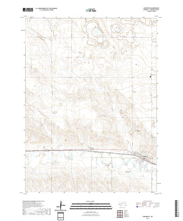
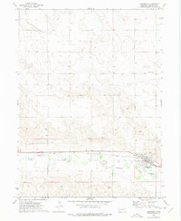 1972 Lodgepole1975 Print · USGSLodgepole sits at the heart of the Nebraska panhandle during the early seventies, where the railway and creek define the local geography. Researchers can trace family sites at Pleasantview Cem and explore the industrial footprint of the Union Pacific and several local Gravel Pits.
 - 1972 Map of Mount Vernon, 1975 Print
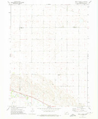 1972 Mount Vernon1975 Print · USGSDeuel County and its neighbors at the start of the seventies showcase a high-plains landscape defined by the Union Pacific and Lodgepole Creek. Researchers can locate the small community of Mount Vernon, the Isley locality, and a rural Landing Strip.
 - 1985 Map of Chappell, 1986 Print
 1985 Chappell1986 Print · USGSThe Nebraska panhandle comes into focus in the mid-1980s, where the historic Oregon Trail meets the modern Union Pacific rail lines. Trace family roots and land patterns in Sidney, Chappell, and near the Bluewater Battlefield Overlook Site.2 unique versions available
 - 2011 Map of Mount Vernon, 2011 Print
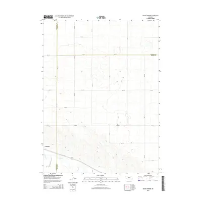
 2011 Mount Vernon2011 Print · USGSCovers Lodgepole, including Deuel County, Cheyenne County, and other nearby areas
 - 2011 Map of Lodgepole, 2011 Print
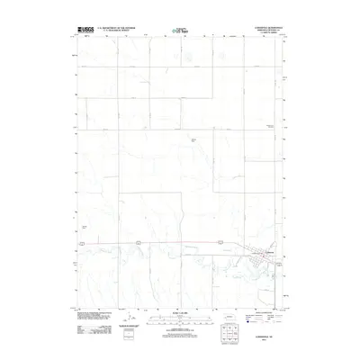 2011 Lodgepole2011 Print · USGSCovers Lodgepole, including Cheyenne County, United States, and other nearby areas
 - 2014 Map of Mount Vernon, 2014 Print
 2014 Mount Vernon2014 Print · USGSCovers Lodgepole, including Deuel County, Cheyenne County, and other nearby areas
 - 2014 Map of Lodgepole, 2014 Print
 2014 Lodgepole2014 Print · USGSCovers Lodgepole, including Cheyenne County, United States, and other nearby areas
 - 2017 Map of Mount Vernon, 2017 Print
 2017 Mount Vernon2017 Print · USGSCovers Lodgepole, including Deuel County, Cheyenne County, and other nearby areas
 - 2017 Map of Lodgepole, 2017 Print
 2017 Lodgepole2017 Print · USGSCovers Lodgepole, including Cheyenne County, United States, and other nearby areas
 - 2021 Map of Mount Vernon, 2021 Print
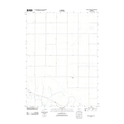
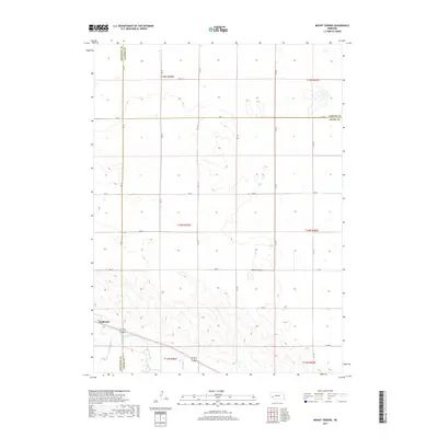
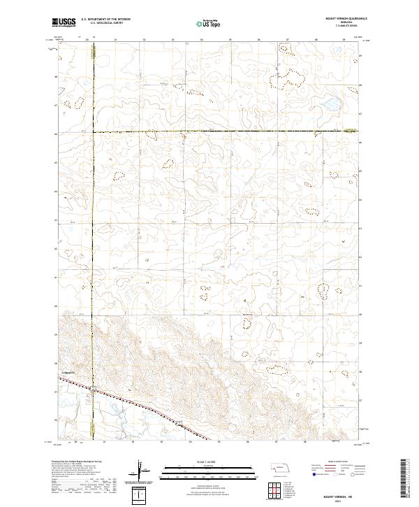 2021 Mount Vernon2021 Print · USGSThe high plains of the Nebraska Panhandle are captured here in the early twenty-first century, spanning the borders of Deuel, Cheyenne, and Garden counties. Researchers can trace the path of Lodgepole Cr and locate rural landmarks like Mt Vernon and Lodgepole.
 - 2021 Map of Lodgepole, 2021 Print
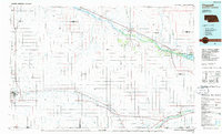
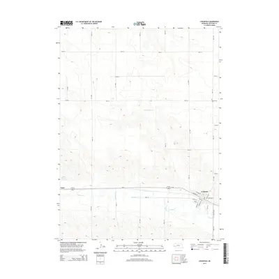
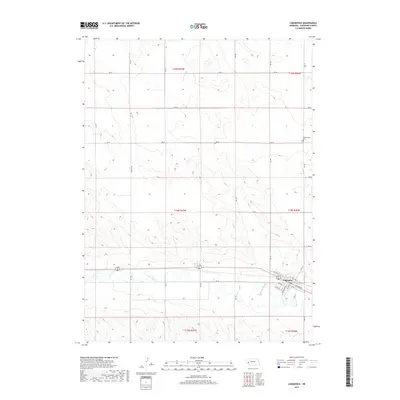
 2021 Lodgepole2021 Print · USGSCheyenne County is documented here in the early twenty-first century as the community of Lodgepole continues its long history along the creek valley. Genealogists and local historians can trace town streets like Sheldon St or locate the rural Pleasantview Cem.
End of results
Showing maps 1-14 of 14
Top cities near Lodgepole
Frequently asked questions
- What are the different types of historical maps available for Lodgepole?
- What is the oldest map of Lodgepole?
- Where can I purchase historical maps of Lodgepole for my home or office?
- Where can I download high-res historical maps of Lodgepole?
- Are there historical topographic maps available for Lodgepole?
- Is there historical aerial imagery available for Lodgepole?
- Where are historical maps of Lodgepole sourced from?