Old Maps of Edgar, Nebraska for Genealogy
Trace your family roots with 15 historic maps of Edgar. These high-res maps reveal old neighborhoods, homesites, landmarks, and streets — helping you uncover where your ancestors lived and how the area evolved over time.
- Explore historic neighborhoods: Identify where your relatives may have lived in the 1800s or 1900s.
- Compare maps over time: Trace the changes in streets, buildings, and landmarks for multi-generational research.
- Perfect for genealogy & ancestry research: Used by family historians and researchers to map out lineage and migration.
These maps are an incredible resource for exploring your personal connection to Edgar's past.
Edgar, NE maps
(15)- 1898 Map of Hebron
 1898 Hebron1898 Print · USGSThayer County and the surrounding Nebraska-Kansas borderlands come alive in the 1890s as a vital hub of the prairie rail network. Researchers can trace the development of early settlements like Hebron and Friedensau or follow the path of the Little Blue River.2 unique versions available
 - 1955 Map of Lincoln, 1967 Print
 1955 Lincoln1967 Print · USGSSoutheast Nebraska in the mid-fifties presents a landscape of thriving railroad towns and the expanding footprint of the capital city. Researchers can trace the legacy of the pioneer era at the Homestead National Monument of America or locate mid-century military infrastructure like Lincoln Air Force Base.5 unique versions available
 - 1957 Map of Lincoln
 1957 Lincoln1957 Print · USGSSoutheastern Nebraska at mid-century shows a landscape of thriving rail towns and expanding infrastructure centered on Lincoln. Researchers can trace the path of the Chicago Burlington and Quincy railroad through communities like Weeping Water, Fairmont, and Seward.
 - 1958 Map of Lincoln
 1958 Lincoln1958 Print · USGSSoutheast Nebraska at the end of the 1950s shows a region defined by agricultural trade and the expansion of the state capital. Genealogists can trace family footprints across the Blue Valley and locate landmarks like the Lincoln AFB or the U.S. Veterans Hospital.
 - 1960 Map of Edgar, 1961 Print
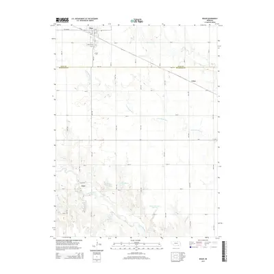
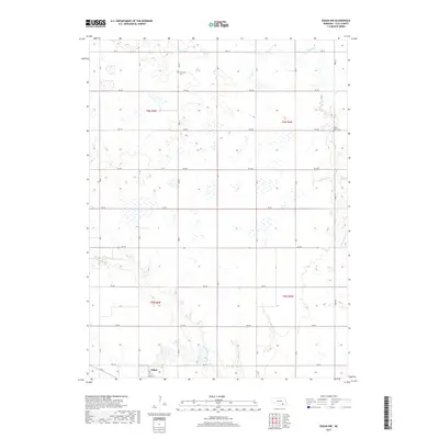
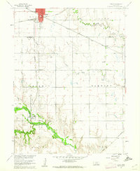 1960 Edgar1961 Print · USGSClay and Nuckolls Counties come to life at the turn of the 1960s as a hub of Nebraska rail commerce. Genealogists and historians can trace the foundations of local life through rural landmarks like Pioneer Sch, the town of Edgar, and the winding Little Blue River.
 - 1969 Map of Edgar NW, 1972 Print
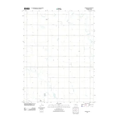
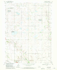 1969 Edgar NW1972 Print · USGSClay County agricultural lands and wildlife refuges are captured in the late sixties, highlighting the intersection of rail and prairie. Trace family roots at Evergreen Cem or follow the tracks of the Union Pacific and Burlington Northern near Edgar.
 - 1985 Map of Fairbury
 1985 Fairbury1985 Print · USGSThe borderlands of Nebraska and Kansas thrive as a rail and agricultural hub in the mid-1980s. Genealogists and historians can trace local family lands near Fairbury or follow the historic Burlington Northern tracks through Hebron and Deshler.2 unique versions available
 - 2011 Map of Edgar, 2011 Print
 2011 Edgar2011 Print · USGSCovers Edgar, including Angus, Sedan, and other nearby areas
 - 2011 Map of Edgar NW, 2011 Print
 2011 Edgar NW2011 Print · USGSCovers Edgar, including Clay County, United States, and other nearby areas
 - 2014 Map of Edgar NW, 2014 Print
 2014 Edgar NW2014 Print · USGSCovers Edgar, including Clay County, United States, and other nearby areas
 - 2014 Map of Edgar, 2014 Print
 2014 Edgar2014 Print · USGSCovers Edgar, including Angus, Sedan, and other nearby areas
 - 2017 Map of Edgar, 2017 Print
 2017 Edgar2017 Print · USGSCovers Edgar, including Angus, Sedan, and other nearby areas
 - 2017 Map of Edgar NW, 2017 Print
 2017 Edgar NW2017 Print · USGSCovers Edgar, including Clay County, United States, and other nearby areas
 - 2021 Map of Edgar NW, 2021 Print
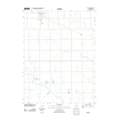
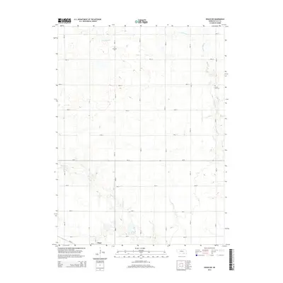
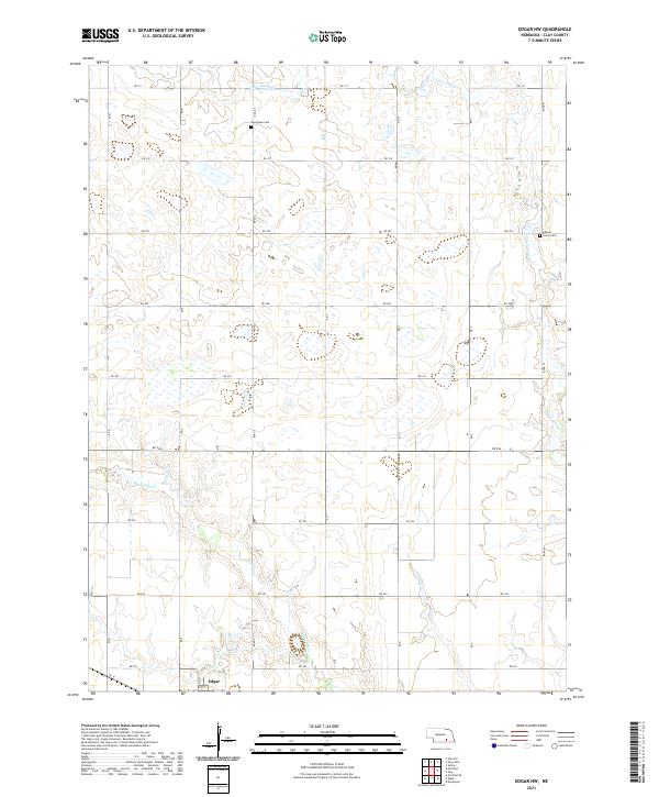 2021 Edgar NW2021 Print · USGSClay County farmland and creek drainage systems are captured in this 2021 survey of the Nebraska prairie. Family historians can locate specific burial sites and rural landmarks like Evergreen Cem, Grove Cem Chapel, and the outskirts of Edgar.
 - 2021 Map of Edgar, 2021 Print
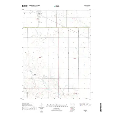
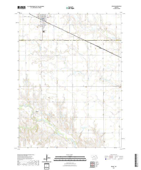 2021 Edgar2021 Print · USGSClay and Nuckolls Counties appear here in a recent detailed survey of south-central Nebraska’s agricultural heartland. Genealogists and local historians can locate the Edgar Cem, trace the course of the Little Blue River, and explore the small settlements of Angus and Sedan.
End of results
Showing maps 1-15 of 15
Top cities near Edgar
- Sutton historical maps
- Clay Center historical maps
- Nelson historical maps
- Fairfield historical maps
- Davenport historical maps
- Ruskin historical maps
See more
Frequently asked questions
- What are the different types of historical maps available for Edgar?
- What is the oldest map of Edgar?
- Where can I purchase historical maps of Edgar for my home or office?
- Where can I download high-res historical maps of Edgar?
- Are there historical topographic maps available for Edgar?
- Is there historical aerial imagery available for Edgar?
- Where are historical maps of Edgar sourced from?