Old Maps of Olean, Nebraska for Academic Research
Study the evolution of Olean with 9 high-resolution historic maps. Whether you're teaching, researching, or modeling changes in land use, these maps provide essential visual documentation of urban, environmental, and geographic change.
- Analyze long-term change: Track patterns in development, transportation, and natural features.
- Ideal for environmental or urban studies: Support academic projects with primary historical map data.
- Use in the classroom or lab: Educators and researchers rely on these maps to bring historical context to life.
These maps are a powerful tool for teaching, research, and visualizing how Olean has changed over the decades.
Olean, NE maps
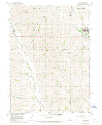
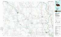
(9)- 1955 Map of Fremont, 1966 Print
 1955 Fremont1966 Print · USGSEastern Nebraska and the Missouri River border are captured during the mid-fifties, just as the interstate system began to emerge. Researchers can trace the development of Omaha, locate the sprawling Offutt Air Force Base, or study the river-bound ecology of the De Soto National Wildlife Refuge.3 unique versions available
 - 1957 Map of Fremont
 1957 Fremont1957 Print · USGSEastern Nebraska and western Iowa thrive along the Platte and Missouri rivers during the mid-fifties. Genealogists can locate small rural schools like Fairview School and tracing the paths of the Union Pacific through towns like Albion and Humphrey.
 - 1958 Map of Fremont
 1958 Fremont1958 Print · USGSEastern Nebraska in the late fifties is captured here as a thriving corridor of river-valley commerce and rail transport. Researchers can trace the development of Omaha and Fremont or locate local landmarks like Midland College and Offutt Air Force Base.
 - 1966 Map of Dodge, 1968 Print
 1966 Dodge1968 Print · USGSNortheastern Nebraska farming country is documented here in the mid-sixties, centered on the communities of Dodge and Howells. Genealogists can locate family landmarks like SS Peter & Paul Cem, Tabor Cem, and Sacred Heart Ch.
 - 1986 Map of Blair
 1986 Blair1986 Print · USGSEastern Nebraska and the Iowa borderlands are captured here in the mid-eighties, showing the established river-and-rail network. Genealogists and historians can trace the foundations of Blair, West Point, and Tekamah, or locate smaller sites like Fontanelle and Scribner.2 unique versions available
 - 2011 Map of Dodge, 2011 Print
 2011 Dodge2011 Print · USGSCovers Olean, including Dodge, Howells, and other nearby areas
 - 2014 Map of Dodge, 2014 Print
 2014 Dodge2014 Print · USGSCovers Olean, including Dodge, Howells, and other nearby areas
 - 2017 Map of Dodge, 2017 Print
 2017 Dodge2017 Print · USGSCovers Olean, including Dodge, Howells, and other nearby areas
 - 2021 Map of Dodge, 2021 Print
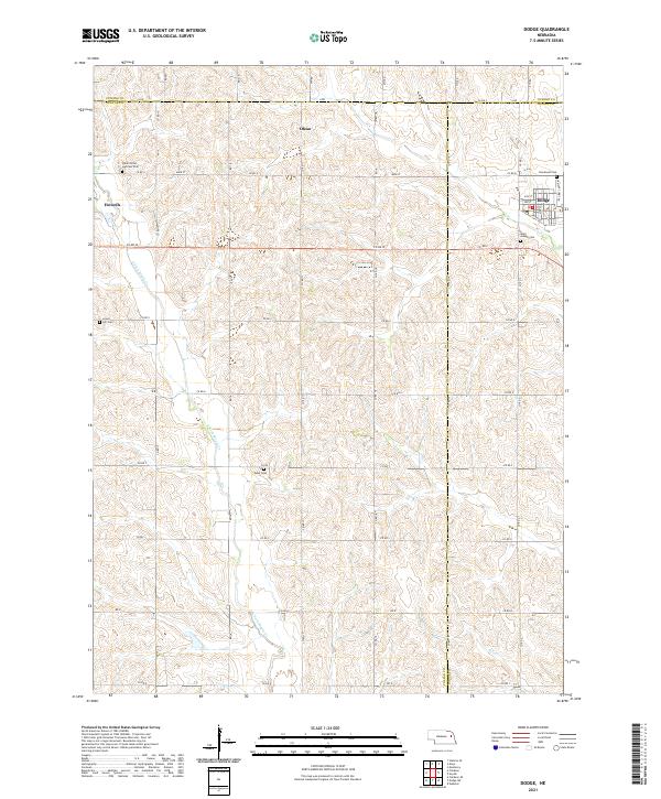 2021 Dodge2021 Print · USGSThe tri-county borderlands of Cuming, Colfax, and Dodge counties appear here in the early twenty-first century. Genealogists can trace family footprints across rural landscapes punctuated by Saints Peter and Paul Cem, Olean, and the streets of Dodge.
End of results
Showing maps 1-9 of 9
Top cities near Olean
- West Point historical maps
- Webster historical maps
- Beemer historical maps
- Dodge historical maps
- Clarkson historical maps
- Howells historical maps
See more
Frequently asked questions
- What are the different types of historical maps available for Olean?
- What is the oldest map of Olean?
- Where can I purchase historical maps of Olean for my home or office?
- Where can I download high-res historical maps of Olean?
- Are there historical topographic maps available for Olean?
- Is there historical aerial imagery available for Olean?
- Where are historical maps of Olean sourced from?