2020s Maps of Ansley, Nebraska
Explore 2 historic maps of Ansley from the 2020s. These maps offer a rare glimpse into what life looked like during the 2020s — showing old roads, neighborhoods, homes, and landmarks that have changed or disappeared over time.
Whether you're researching your family's past, planning a metal detecting trip, or studying how Ansley's landscape evolved across the 2020s, these high-resolution maps are a powerful tool for exploring the history of this region.
- Focus on a specific era: All maps on this page are from the 2020s, giving you a focused view of this time period.
- See what’s changed: Compare century-old streets, trails, and buildings to today's modern landscape using overlays and satellite layers.
- Research with precision: Use these maps for genealogy, historical research, land use analysis, or educational projects.
- View, download, or print: Maps are fully viewable online in high resolution, and can be downloaded or printed for your own records.
Start exploring Ansley's history through authentic maps from the 2020s. This is your window into the past.
Ansley, NE maps
(2)- 2021 Map of Ansley, 2021 Print
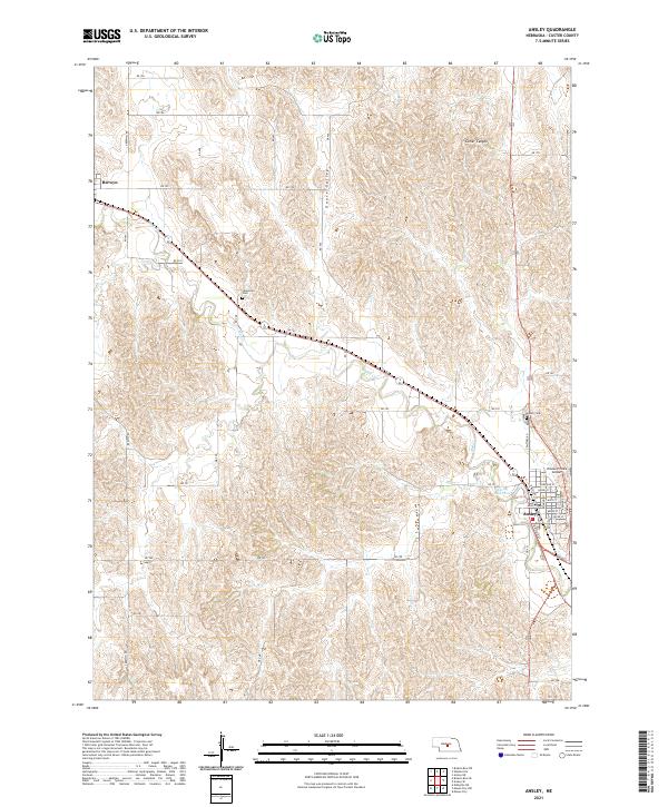 2021 Ansley2021 Print · USGSCuster County prairie life is documented here in the early twenty-first century, showing the established rail-side communities of Ansley and Berwyn. Local historians can trace family plots at Janesville Cem or study the terrain around Goose Valley.
 - 2021 Map of Ansley SE, 2021 Print
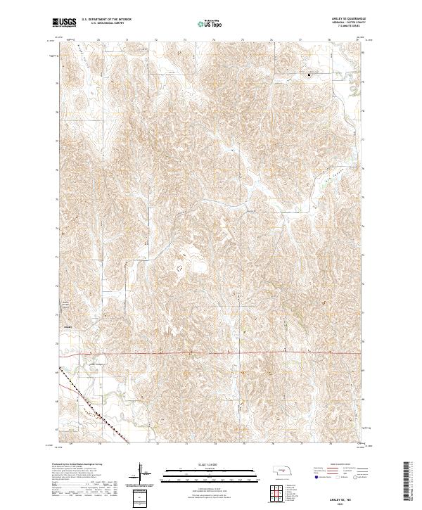 2021 Ansley SE2021 Print · USGSCuster County rangeland is captured here in the early 2020s, showing a landscape defined by deep canyons and quiet rural homesteads. Genealogists and local historians can locate Liberty Cem and trace the route of Ash Canyon Rd near Ansley.
End of results
Showing maps 1-2 of 2
Top cities near Ansley
- Litchfield historical maps
- Mason City historical maps
- Westerville historical maps
- Berwyn historical maps
Frequently asked questions
- What are the different types of historical maps available for Ansley?
- What is the oldest map of Ansley?
- Where can I purchase historical maps of Ansley for my home or office?
- Where can I download high-res historical maps of Ansley?
- Are there historical topographic maps available for Ansley?
- Is there historical aerial imagery available for Ansley?
- Where are historical maps of Ansley sourced from?