Old Maps of Ansley, Nebraska for Academic Research
Study the evolution of Ansley with 13 high-resolution historic maps. Whether you're teaching, researching, or modeling changes in land use, these maps provide essential visual documentation of urban, environmental, and geographic change.
- Analyze long-term change: Track patterns in development, transportation, and natural features.
- Ideal for environmental or urban studies: Support academic projects with primary historical map data.
- Use in the classroom or lab: Educators and researchers rely on these maps to bring historical context to life.
These maps are a powerful tool for teaching, research, and visualizing how Ansley has changed over the decades.
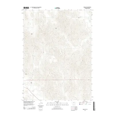
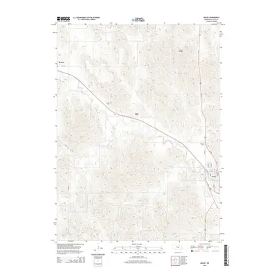
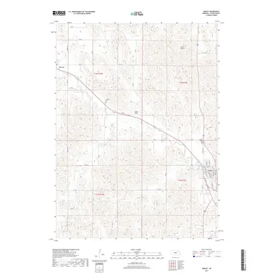
Ansley, NE maps
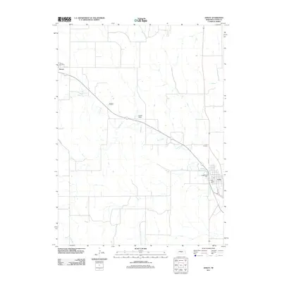
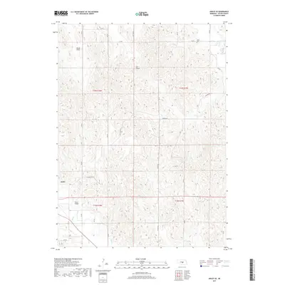
(13)- 1951 Map of Ansley, 1952 Print
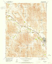 1951 Ansley1952 Print · USGSCuster County ranching country is centered on the railway in the early fifties, following the path of Mud Creek. Trace local genealogy and rural life through landmarks like Janesville Sch, Ansley Cem, and the winding Goose Valley.3 unique versions available
 - 1951 Map of Ansley SE, 1953 Print
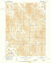 1951 Ansley SE1953 Print · USGSCuster County prairie life in the early fifties was centered on the rail corridor and a network of rural schoolhouses. Genealogists and historians can trace family locations near Liberty Chapel, Hopewell Sch, and the Chicago Burlington and Quincy railroad.2 unique versions available
 - 1955 Map of Broken Bow
 1955 Broken Bow1955 Print · USGSCentral Nebraska in the mid-fifties is defined by the sweeping Sand Hills and the vital river valleys that supported its ranching and rail towns. Researchers can trace the rail corridors of the Union Pacific RR and locate settlements like Dannebrog, Broken Bow, and Brewster.5 unique versions available
 - 1956 Map of Broken Bow
 1956 Broken Bow1956 Print · USGSCentral Nebraska during the mid-fifties reveals a region defined by its river-valley railroads and the rolling Sand Hills. Genealogists and local historians can trace the paths of the Chicago Burlington and Quincy through towns like Broken Bow, Merna, and Anselmo.
 - 1985 Map of Broken Bow
 1985 Broken Bow1985 Print · USGSCuster County in the mid-1980s displays a landscape of high tablelands and river valleys shaped by the reach of the railroad. Genealogists and researchers can trace the old rail stops along Mud Creek, from Berwyn to Litchfield, or locate land near Redfern Table and West Table.2 unique versions available
 - 2011 Map of Ansley SE, 2011 Print
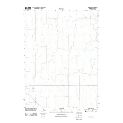 2011 Ansley SE2011 Print · USGSCovers Ansley, including Custer County, United States, and other nearby areas
 - 2011 Map of Ansley, 2011 Print
 2011 Ansley2011 Print · USGSCovers Ansley, including Berwyn, Custer County, and other nearby areas
 - 2014 Map of Ansley SE, 2014 Print
 2014 Ansley SE2014 Print · USGSCovers Ansley, including Custer County, United States, and other nearby areas
 - 2014 Map of Ansley, 2014 Print
 2014 Ansley2014 Print · USGSCovers Ansley, including Berwyn, Custer County, and other nearby areas
 - 2017 Map of Ansley, 2017 Print
 2017 Ansley2017 Print · USGSCovers Ansley, including Berwyn, Custer County, and other nearby areas
 - 2017 Map of Ansley SE, 2017 Print
 2017 Ansley SE2017 Print · USGSCovers Ansley, including Custer County, United States, and other nearby areas
 - 2021 Map of Ansley, 2021 Print
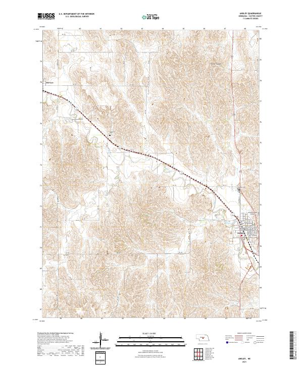 2021 Ansley2021 Print · USGSCuster County prairie life is documented here in the early twenty-first century, showing the established rail-side communities of Ansley and Berwyn. Local historians can trace family plots at Janesville Cem or study the terrain around Goose Valley.
 - 2021 Map of Ansley SE, 2021 Print
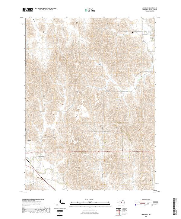 2021 Ansley SE2021 Print · USGSCuster County rangeland is captured here in the early 2020s, showing a landscape defined by deep canyons and quiet rural homesteads. Genealogists and local historians can locate Liberty Cem and trace the route of Ash Canyon Rd near Ansley.
End of results
Showing maps 1-13 of 13
Top cities near Ansley
- Litchfield historical maps
- Mason City historical maps
- Westerville historical maps
- Berwyn historical maps
Frequently asked questions
- What are the different types of historical maps available for Ansley?
- What is the oldest map of Ansley?
- Where can I purchase historical maps of Ansley for my home or office?
- Where can I download high-res historical maps of Ansley?
- Are there historical topographic maps available for Ansley?
- Is there historical aerial imagery available for Ansley?
- Where are historical maps of Ansley sourced from?