
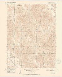
1951 Map of Ansley SE
USGS Topo · Published 1953About this map
The Chicago Burlington and Quincy railroad cuts a diagonal path through the southwest corner of this Custer County landscape, anchoring the settlement of Ansley and the nearby siding at Comer. This mid-century survey reveals a rural society organized around small community hubs, with one-room schoolhouses like Lamphere Sch, Moody Sch, and Box Elder Sch distributed across the townships of Westerville, Myrtle, Ansley, and Algernon.
Find a feature on this map
21 named features on this map. Tap any name to fly to it.
Don’t see what you’re looking for? This feature index may not catch every label — zoom into the map to look around manually.
Map Details
Editions of this 1951 Ansley SE Map
2 editions found
Other maps of this area

1951 · Westerville
USGS Topo · 1:24,000

1951 · Ansley
USGS Topo · 1:24,000

1951 · Ansley NE
USGS Topo · 1:24,000

1951 · Arcadia West
USGS Topo · 1:24,000

1951 · Mason City NW
USGS Topo · 1:24,000

1951 · Mason City
USGS Topo · 1:24,000

1951 · Arcadia SW
USGS Topo · 1:24,000

1951 · Litchfield
USGS Topo · 1:24,000

1955 · Broken Bow
USGS Topo · 1:250,000

1956 · Broken Bow
USGS Topo · 1:250,000