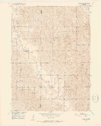
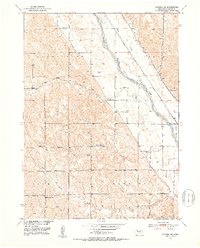
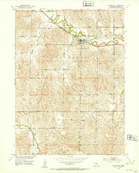
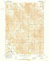
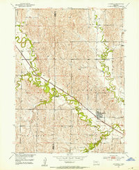
1951 Map of Arcadia SW
USGS Topo · Published 1953About this map
The windswept topography of Sherman County is defined by the winding course of Clear Creek and its tributary Cole Creek as they cut through the loess hills of central Nebraska. This 1951 record, produced as part of the Missouri River Basin development program, reveals a landscape densely populated with rural schoolhouses, including Banner Sch, Graystone Sch, and School No 49. These small, localized schools served the surrounding townships of Myrtle, Washington, Algernon, and Elm.
Find a feature on this map
16 named features on this map. Tap any name to fly to it.
Don’t see what you’re looking for? This feature index may not catch every label — zoom into the map to look around manually.
Map Details
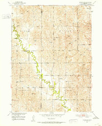
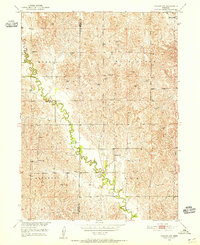
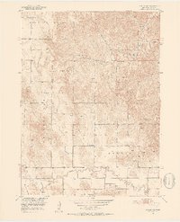
Editions of this 1951 Arcadia SW Map
3 editions found
Other maps of this area
1951 · Ansley NE
USGS Topo · 1:24,000
1951 · Arcadia SE
USGS Topo · 1:24,000
1951 · Litchfield NE
USGS Topo · 1:24,000
1951 · Arcadia West
USGS Topo · 1:24,000
1951 · Arcadia East
USGS Topo · 1:24,000
1951 · Mason City
USGS Topo · 1:24,000
1951 · Ansley SE
USGS Topo · 1:24,000
1951 · Litchfield
USGS Topo · 1:24,000

1955 · Broken Bow
USGS Topo · 1:250,000

1956 · Broken Bow
USGS Topo · 1:250,000