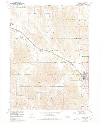
2021 Map of Ansley
USGS Topo · Published 2021About this map
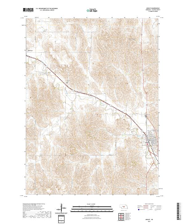
Ansley serves as the primary hub in this portion of Custer County, situated where the Burlington Northern Santa Fe railroad line cuts through the prairie. The town layout is clearly defined by streets such as Main St and Railroad St, supporting a local agricultural economy centered around the Mud Cr drainage. To the northwest, the smaller community of Berwyn anchors the opposite end of the valley, while the surrounding landscape is marked by land-use patterns in Goose Valley and the dissected terrain of Comer Canyon. Genealogical interests are served by the presence of both Ansley Cem and the more isolated Janesville Cem further west. The presence of the Krause Private Airport and the Ansley Reservoir highlights the specialized infrastructure developed to support this rural Nebraska interior.
Find a feature on this map
48 named features on this map. Tap any name to fly to it.
Don’t see what you’re looking for? This feature index may not catch every label — zoom into the map to look around manually.
Map Details
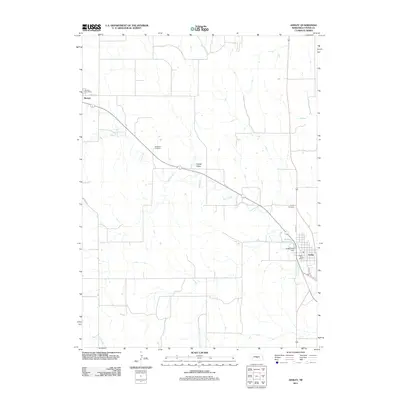
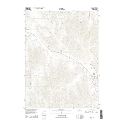
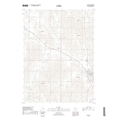
Editions of this 2021 Ansley Map
This is the sole edition of this map. No revisions or reprints were ever made.
Historical Maps of Ansley Through Time
5 maps found