Old Maps of Hubbard Precinct, Nebraska for Genealogy
Trace your family roots with 25 historic maps of Hubbard Precinct. These high-res maps reveal old neighborhoods, homesites, landmarks, and streets — helping you uncover where your ancestors lived and how the area evolved over time.
- Explore historic neighborhoods: Identify where your relatives may have lived in the 1800s or 1900s.
- Compare maps over time: Trace the changes in streets, buildings, and landmarks for multi-generational research.
- Perfect for genealogy & ancestry research: Used by family historians and researchers to map out lineage and migration.
These maps are an incredible resource for exploring your personal connection to Hubbard Precinct's past.
Hubbard Precinct, NE maps
(25)- 1955 Map of Sioux City, 1959 Print
 1955 Sioux City1959 Print · USGSThe Missouri River valley in the mid-fifties is captured here during a time of major engineering and social transition. Genealogists and historians can trace the foundations of Gavins Point Dam, tribal boundaries on the Santee Sioux Indian Reservation, and local landmarks like the Norfolk State Hospital.4 unique versions available
 - 1958 Map of Sioux City
 1958 Sioux City1958 Print · USGSThe Missouri River valley in the late fifties was a bustling intersection of tribal lands, rail corridors, and river towns. Genealogists can trace family roots through specific rural sites like Daisy Valley School, St Johns Church and School, and Yankton State Hospital.
 - 1959 Map of Sioux City
 1959 Sioux City1959 Print · USGSThe tri-state region surrounding the Missouri River is captured here in the late fifties, showing the convergence of Nebraska, South Dakota, and Iowa. Researchers can trace rural lineages through numerous country schoolhouses like Cemetery School and the many numbered Washington School districts.
 - 1967 Map of Waterbury, 1969 Print
 1967 Waterbury1969 Print · USGSDixon and Dakota Counties are shown in the late sixties as the local rail and agricultural networks remained central to rural life. Family historians can trace the exact locations of rural schools and cemeteries, including Way Sch, St Johns Ch, and Woods Cem.
 - 1967 Map of Jackson, 1969 Print
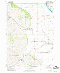 1967 Jackson1969 Print · USGSThe tri-state border region of Nebraska, South Dakota, and Iowa is captured in the late sixties, where the Big Sioux meets the Missouri River. Trace rail history and family sites through Jackson and Hubbard, including St Johns Cem.2 unique versions available
 - 1967 Map of Emerson SE, 1969 Print
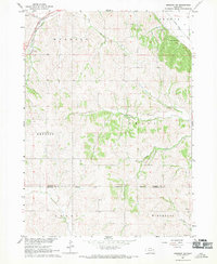 1967 Emerson SE1969 Print · USGSDakota and Thurston counties are captured here in the late sixties, showing the rural landscape bordering the Winnebago Indian Reservation. Researchers can locate numerous local burial sites like Taylor Cem and trace the original Chicago and North Western rail line.
 - 1967 Map of Emerson, 1969 Print
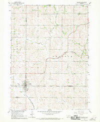 1967 Emerson1969 Print · USGSEmerson and the surrounding tri-county borderlands of Nebraska are captured here in the late sixties, showing the intersection of rail transit and reservation boundaries. Researchers can trace the Chicago and North Western line or locate local landmarks like Nacora and Jopp Cem.2 unique versions available
 - 1986 Map of Sioux City South
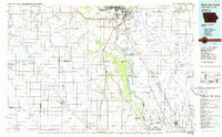 1986 Sioux City South1986 Print · USGSThe tri-state borderlands of Iowa, Nebraska, and South Dakota come into focus in the mid-1980s as a landscape of tribal lands and rail corridors. Researchers can trace the extensive boundaries of the Winnebago Indian Reservation and find local landmarks like Morningside College and Martin Field.2 unique versions available
 - 1993 Map of Jackson, 1995 Print
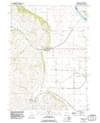 1993 Jackson1995 Print · USGSDakota County, Nebraska, is captured here in the early nineties as the communities of Jackson and Hubbard thrived alongside the river bluffs. Researchers can trace family sites at St Johns Cem and St Marys Cem or locate old transit lines along the Old Grade and Knox Boulevard.
 - 2011 Map of Emerson, 2011 Print
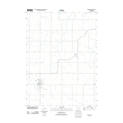 2011 Emerson2011 Print · USGSEmerson and Nacora anchor this Nebraska landscape during the early 2010s, showing a well-established grid of rural section roads and family cemeteries. Genealogists can locate Rose Hill Cemetery, Jopp Cemetery, and the Nacora Post Office amid the drainage of Elk Creek.
 - 2011 Map of Waterbury, 2011 Print
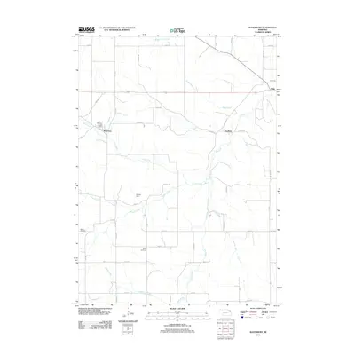 2011 Waterbury2011 Print · USGSDixon County farmland is surveyed here in the early twenty-first century, showing the small communities of Waterbury and Goodwin. Researchers can locate family landmarks like Marcus Cemetery and Wood Cemetery or trace the flows of Otter Creek and Elk Creek.
 - 2011 Map of Emerson SE, 2011 Print
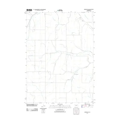 2011 Emerson SE2011 Print · USGSDakota County at the start of the 2010s reveals a structured rural landscape defined by its many winding waterways and country burial grounds. Genealogists and local researchers can locate Green Valley Cemetery, Taylor Cemetery, and waterworks like Hirch Dam.
 - 2011 Map of Jackson, 2011 Print
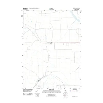 2011 Jackson2011 Print · USGSThe Missouri River borderlands near the Nebraska-South Dakota line are shown here in the early 2000s. Genealogists and local historians can trace the foundations of Jackson and Hubbard, including Saint Johns Cemetery and the Hubbard Post Office.
 - 2014 Map of Emerson, 2014 Print
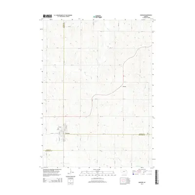 2014 Emerson2014 Print · USGSEmerson and its surrounding farm country appear here at the convergence of three Nebraska counties during the early twenty-first century. Genealogists can locate family landmarks like Rose Hill Cem, Jopp Cem, and the settlement of Nacora.
 - 2014 Map of Jackson, 2014 Print
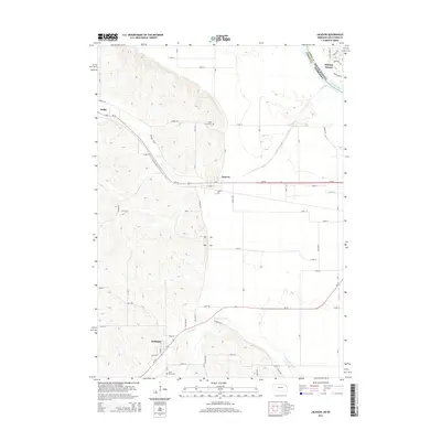 2014 Jackson2014 Print · USGSThe bluffs and floodplains of the Nebraska-South Dakota border are captured here in the mid-2010s. Researchers can locate family sites at Saint Johns Cem and Saint Marys Cem or trace the early paths of Willis and Hubbard.
 - 2014 Map of Emerson SE, 2014 Print
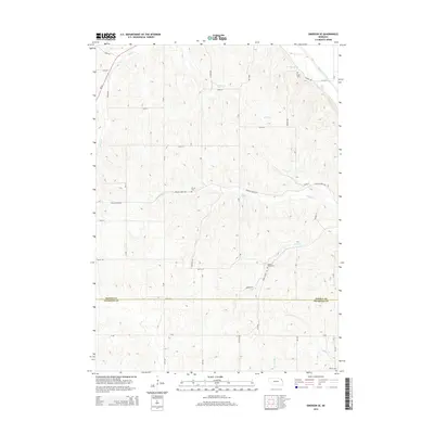 2014 Emerson SE2014 Print · USGSDakota and Thurston counties meet in this agricultural landscape of northeast Nebraska during the early twenty-first century. Genealogists can locate several family burial grounds including Taylor Cemetery, Green Valley Cemetery, and Grove Cemetery.
 - 2014 Map of Waterbury, 2014 Print
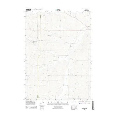 2014 Waterbury2014 Print · USGSThis rural portion of Dixon and Dakota Counties is shown in the early twenty-first century as a landscape of winding creeks and section-line roads. Genealogists and local historians can trace family locations near Waterbury, Marcus Cem, and Wood Cem.
 - 2017 Map of Waterbury, 2017 Print
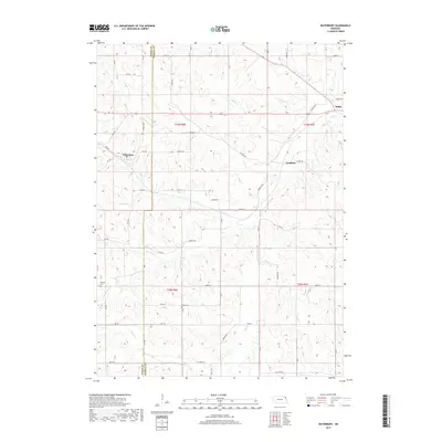 2017 Waterbury2017 Print · USGSDixon and Dakota counties are captured in this recent survey of Nebraska's rolling agricultural uplands. Genealogists and historians can trace the rural landscape surrounding Waterbury, identifying burial sites at Wood Cem and Marquis Cem.
 - 2017 Map of Emerson SE, 2017 Print
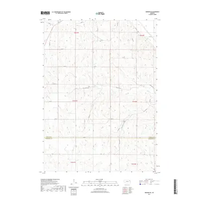 2017 Emerson SE2017 Print · USGSDakota and Thurston counties are captured here in the late twenty-teens, showing the enduring rural layout of this agricultural corner of Nebraska. Genealogists and historians can locate family burial grounds like Green Valley Cem and Grove Cem or trace waterways like Fiddlers Cr.
 - 2017 Map of Emerson, 2017 Print
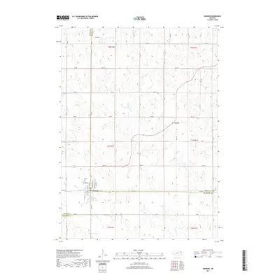 2017 Emerson2017 Print · USGSThe tri-county border area of Nebraska is captured here in the late 2010s, centered on the settlement of Emerson. Genealogists and local historians can locate Rose Hill Cem, Calvary Cem, and the small community of Nacora among the drainage of Middle Cr.
 - 2017 Map of Jackson, 2017 Print
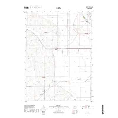 2017 Jackson2017 Print · USGSThe tri-state borderlands near the Missouri River appear in detail during the late twenty-teens. Researchers can trace rural lineages at Saint Johns Cem and explore the landscapes around Jackson, Hubbard, and Willis.
 - 2021 Map of Jackson, 2021 Print
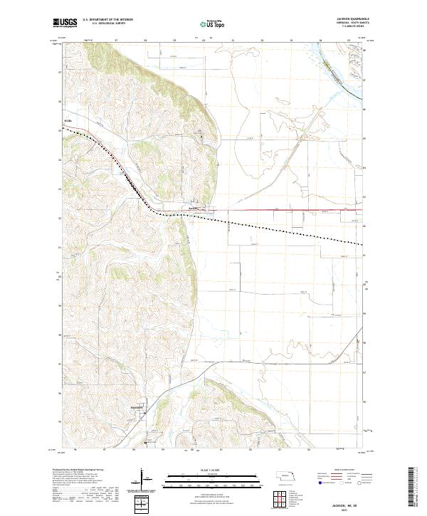 2021 Jackson2021 Print · USGSDakota County, Nebraska, and the edge of South Dakota are shown here in the early 2020s, where the Missouri River valley meets the western bluffs. Genealogists can locate family burial sites at Saint Johns Cemetery and Saint Marys Cemetery or trace the rural routes around Jackson and Hubbard.
 - 2021 Map of Emerson, 2021 Print
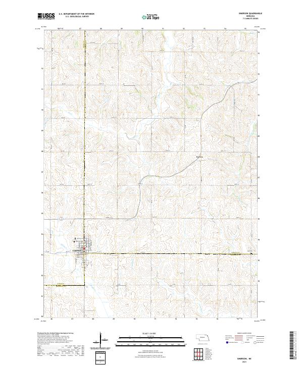 2021 Emerson2021 Print · USGSThe tri-county junction of Dixon, Dakota, and Thurston counties comes into focus in this recent survey of the Nebraska prairie. Researchers can trace the layout of Emerson, find family burial sites at Rose Hill Cem and Jopp Cem, and follow the winding course of North Omaha Creek.
 - 2021 Map of Waterbury, 2021 Print
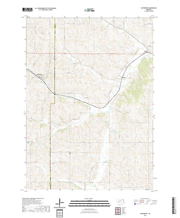 2021 Waterbury2021 Print · USGSDixon and Dakota Counties are shown here during the early 2020s, revealing a landscape of rural townships and winding creek beds. Genealogists can locate family landmarks like Marquis Cemetery and Woods Cemetery or trace old routes along Pioneer Trail.
 - 2021 Map of Emerson SE, 2021 Print
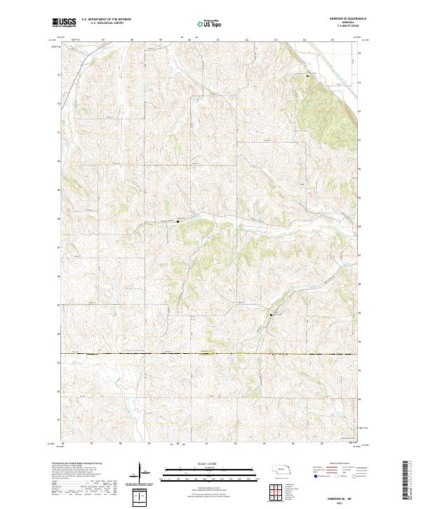 2021 Emerson SE2021 Print · USGSDakota and Thurston counties are captured here in the early 2020s, showing a rural Nebraska landscape shaped by its winding creek systems. Genealogists and local historians can locate remote burial sites like Hale Cem, Green Valley Cem, and James Rave Cem.
End of results
Showing maps 1-25 of 25
Top cities near Hubbard Precinct
- Sioux City historical maps
- South Sioux City historical maps
- Dakota Dunes historical maps
- North Sioux City historical maps
- Dakota City historical maps
- Ponca historical maps
See more
Top neighborhoods of Hubbard Precinct
Frequently asked questions
- What are the different types of historical maps available for Hubbard Precinct?
- What is the oldest map of Hubbard Precinct?
- Where can I purchase historical maps of Hubbard Precinct for my home or office?
- Where can I download high-res historical maps of Hubbard Precinct?
- Are there historical topographic maps available for Hubbard Precinct?
- Is there historical aerial imagery available for Hubbard Precinct?
- Where are historical maps of Hubbard Precinct sourced from?