1970s Maps of Deuel County, Nebraska
Explore 6 historic maps of Deuel County from the 1970s. These maps offer a rare glimpse into what life looked like during the 1970s — showing old roads, neighborhoods, homes, and landmarks that have changed or disappeared over time.
Whether you're researching your family's past, planning a metal detecting trip, or studying how Deuel County's landscape evolved across the 1970s, these high-resolution maps are a powerful tool for exploring the history of this region.
- Focus on a specific era: All maps on this page are from the 1970s, giving you a focused view of this time period.
- See what’s changed: Compare century-old streets, trails, and buildings to today's modern landscape using overlays and satellite layers.
- Research with precision: Use these maps for genealogy, historical research, land use analysis, or educational projects.
- View, download, or print: Maps are fully viewable online in high resolution, and can be downloaded or printed for your own records.
Start exploring Deuel County's history through authentic maps from the 1970s. This is your window into the past.
Deuel County, NE maps
(6)- 1971 Map of Big Springs NE, 1974 Print
 1971 Big Springs NE1974 Print · USGSThe Nebraska panhandle in the early seventies remains a landscape of open range and historic transit routes. You can trace the path of the Oregon Trail as it winds through the bluffs near Day Road and find the locations of scattered wells.
 - 1971 Map of Chappell NE, 1974 Print
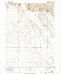
 1971 Chappell NE1974 Print · USGSThe high plains of Nebraska at the start of the seventies reveal a landscape of ranching and early industry. Researchers can trace the Garden and Deuel County line while locating landmarks like Berea Ch and the winding Walrath Draw.
 - 1971 Map of Chappell NW, 1974 Print
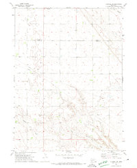
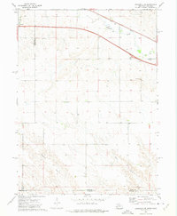
 1971 Chappell NW1974 Print · USGSDeuel and Garden counties are documented here in the early seventies, capturing the high plains landscape north of Chappell. Researchers can trace natural landmarks like Walrath Draw and Ash Hollow, alongside infrastructure features including a cross-country Pipeline.
 - 1971 Map of Big Springs NW, 1974 Print
 1971 Big Springs NW1974 Print · USGSThe Nebraska Panhandle's high plains transition into the rugged breaks of the North Platte valley in the early seventies. Genealogists and local historians can trace family ties at Zion Cemetery or locate the site of School No 2 and the Day Cemetery.
 - 1972 Map of Lodgepole SE, 1975 Print
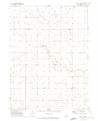
 1972 Lodgepole SE1975 Print · USGSThe Nebraska-Colorado borderlands come into focus in the early 1970s, showing the intersection of interstate travel and historic rail. Researchers can trace the path of the Union Pacific along Lodgepole Creek or locate local landmarks like St Joseph Cem.
 - 1972 Map of Mount Vernon, 1975 Print
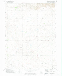
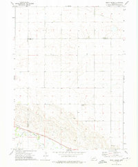 1972 Mount Vernon1975 Print · USGSDeuel County and its neighbors at the start of the seventies showcase a high-plains landscape defined by the Union Pacific and Lodgepole Creek. Researchers can locate the small community of Mount Vernon, the Isley locality, and a rural Landing Strip.
End of results
Showing maps 1-6 of 6
Top cities of Deuel County
Frequently asked questions
- What are the different types of historical maps available for Deuel County?
- What is the oldest map of Deuel County?
- Where can I purchase historical maps of Deuel County for my home or office?
- Where can I download high-res historical maps of Deuel County?
- Are there historical topographic maps available for Deuel County?
- Is there historical aerial imagery available for Deuel County?
- Where are historical maps of Deuel County sourced from?