Old Maps of Deuel County, Nebraska for Hiking & Exploration
Hike through history with 60 historic maps of Deuel County. Explore old trails, ghost towns, and forgotten backroads — perfect for outdoor adventurers and local explorers.
- Rediscover forgotten places: Map out old mining camps, roads, and footpaths that no longer exist on modern maps.
- Layer with modern tools: Combine with LiDAR or satellite views to plan hikes through historical terrain.
- Made for exploration: Popular among hikers, overlanders, and local history lovers.
Use these maps to find adventure and explore the hidden past of Deuel County.
Deuel County, NE maps
(60)- 1899 Map of Sidney
 1899 Sidney1899 Print · USGSCheyenne County at the end of the nineteenth century centers on the vital Union Pacific R.R. corridor and the high plains cattle trade. Genealogists and researchers can trace the early layout of Sidney, follow the flow of Lodgepole Creek, and locate pioneer landmarks like Courthouse Rock and Weyerts.3 unique versions available
 - 1900 Map of Chappell
 1900 Chappell1900 Print · USGSWestern Nebraska at the dawn of the new century is captured here as a landscape of early irrigation and historic pioneer trails. Trace the path of the Old California Trail past Ash Hollow or locate ranching outposts like Coombe's Ranch and Libbey's Ranch.3 unique versions available
 - 1954 Map of Scottsbluff, 1958 Print
 1954 Scottsbluff1958 Print · USGSThe Nebraska Panhandle's iconic landmarks and rail corridors are captured here during the mid-1950s. Researchers can trace the path of the North Platte River past Chimney Rock or locate the sprawling Sioux Ordnance Depot and the historic streets of Sidney.3 unique versions available
 - 1958 Map of Scottsbluff
 1958 Scottsbluff1958 Print · USGSThe Nebraska panhandle in the late fifties was a vital corridor of rail-and-river transport defined by the North Platte River and the Union Pacific. Genealogists and historians can trace rail stops like Reddus Station, explore the grounds of the Sioux Ordnance Depot, or locate landmarks like Chimney Rock.2 unique versions available
 - 1961 Map of Chappell, 1963 Print
 1961 Chappell1963 Print · USGSDeuel County's agricultural and rail heritage is well-preserved in this early 1960s survey of the Nebraska-Colorado border. Researchers can trace the layout of Chappell, locate the rural School No 39, and find family history at the Mennonite Cem.
 - 1961 Map of Barton, 1963 Print
 1961 Barton1963 Print · USGSThe Nebraska-Colorado borderlands come into focus in the early sixties, showing the vital transit and irrigation corridor along the South Platte River. Genealogists and local historians can locate rural landmarks like Plainview Sch, the settlement of Barton, and the extensive network of early Gas Wells.3 unique versions available
 - 1961 Map of Big Springs, 1963 Print
 1961 Big Springs1963 Print · USGSSettlement and irrigation define the Nebraska-Colorado borderlands in the early sixties, centered on the South Platte River. Researchers can trace the Union Pacific rail corridor and find local landmarks like the Big Springs Cem and Cottonwood Corner Sch.2 unique versions available
 - 1961 Map of Chappell SE, 1963 Print
 1961 Chappell SE1963 Print · USGSThe Nebraska-Colorado borderlands come into focus in the early sixties, showing the isolated ranching life of the high plains. Researchers can locate remote rural schoolhouses like Swan Center Sch and School No 41 while tracing irrigation along Peterson Ditch.2 unique versions available
 - 1971 Map of Big Springs NE, 1974 Print
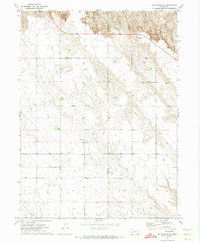 1971 Big Springs NE1974 Print · USGSThe Nebraska panhandle in the early seventies remains a landscape of open range and historic transit routes. You can trace the path of the Oregon Trail as it winds through the bluffs near Day Road and find the locations of scattered wells.
 - 1971 Map of Chappell NE, 1974 Print
 1971 Chappell NE1974 Print · USGSThe high plains of Nebraska at the start of the seventies reveal a landscape of ranching and early industry. Researchers can trace the Garden and Deuel County line while locating landmarks like Berea Ch and the winding Walrath Draw.
 - 1971 Map of Chappell NW, 1974 Print
 1971 Chappell NW1974 Print · USGSDeuel and Garden counties are documented here in the early seventies, capturing the high plains landscape north of Chappell. Researchers can trace natural landmarks like Walrath Draw and Ash Hollow, alongside infrastructure features including a cross-country Pipeline.
 - 1971 Map of Big Springs NW, 1974 Print
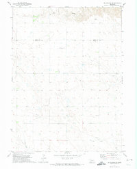 1971 Big Springs NW1974 Print · USGSThe Nebraska Panhandle's high plains transition into the rugged breaks of the North Platte valley in the early seventies. Genealogists and local historians can trace family ties at Zion Cemetery or locate the site of School No 2 and the Day Cemetery.
 - 1972 Map of Lodgepole SE, 1975 Print
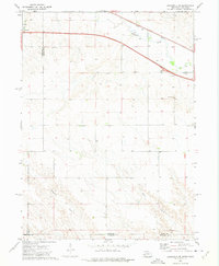 1972 Lodgepole SE1975 Print · USGSThe Nebraska-Colorado borderlands come into focus in the early 1970s, showing the intersection of interstate travel and historic rail. Researchers can trace the path of the Union Pacific along Lodgepole Creek or locate local landmarks like St Joseph Cem.
 - 1972 Map of Mount Vernon, 1975 Print
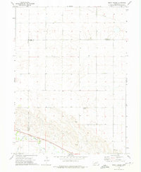 1972 Mount Vernon1975 Print · USGSDeuel County and its neighbors at the start of the seventies showcase a high-plains landscape defined by the Union Pacific and Lodgepole Creek. Researchers can locate the small community of Mount Vernon, the Isley locality, and a rural Landing Strip.
 - 1985 Map of Chappell, 1986 Print
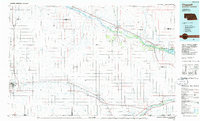 1985 Chappell1986 Print · USGSThe Nebraska panhandle comes into focus in the mid-1980s, where the historic Oregon Trail meets the modern Union Pacific rail lines. Trace family roots and land patterns in Sidney, Chappell, and near the Bluewater Battlefield Overlook Site.2 unique versions available
 - 2010 Map of Chappell SE, 2010 Print
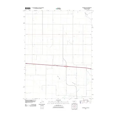 2010 Chappell SE2010 Print · USGSThe Nebraska-Colorado borderlands are captured here in the early twenty-first century, showing a landscape defined by ranching and irrigation. Trace the path of historic water systems like the Peterson Ditch and seasonal drainages including Walrath Draw.
 - 2010 Map of Chappell, 2010 Print
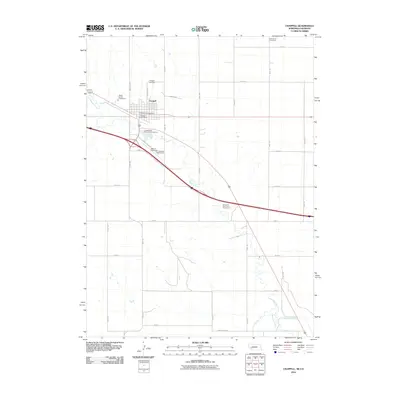 2010 Chappell2010 Print · USGSWestern Nebraska at the start of the decade shows the agricultural heart of Deuel County centered on the town of Chappell. Researchers can trace local heritage through the Mennonite Cemetery, the Chappell Post Office, and the winding path of Lodgepole Creek.
 - 2010 Map of Lodgepole SE, 2010 Print
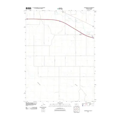 2010 Lodgepole SE2010 Print · USGSDeuel County's agricultural landscape is captured here in the early twenty-first century as modern transit corridors intersect traditional ranchlands. Genealogists can locate Saint Joseph Cemetery, while researchers can trace the seasonal flows of Sedgwick Draw and Lodgepole Creek.
 - 2010 Map of Barton, 2010 Print
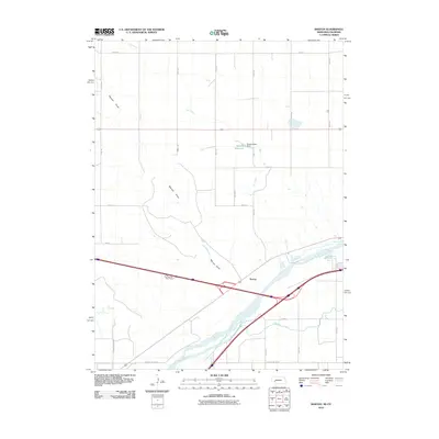 2010 Barton2010 Print · USGSDeuel County's riverfront and high plains are documented here in the early twenty-first century as the interstate age intersects with traditional irrigation. Researchers can trace the path of the South Platte River, the waters of Beasley Reservoir, and the settlement at Barton.
 - 2010 Map of Big Springs, 2010 Print
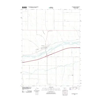 2010 Big Springs2010 Print · USGSThe Nebraska-Colorado borderlands come into focus in 2010 as the South Platte River and irrigation networks shape the plains. Trace family roots at the Big Springs Cemetery or locate regional infrastructure like the Western Canal and Newman Airport.
 - 2011 Map of Mount Vernon, 2011 Print
 2011 Mount Vernon2011 Print · USGSThe Nebraska panhandle at the start of the decade reveals a landscape structured by rural grids and creek beds. Genealogists and researchers can trace local land divisions along Lodgepole Creek and explore the network of county routes such as Road 157 and Mount Vernon.
 - 2011 Map of Chappell NW, 2011 Print
 2011 Chappell NW2011 Print · USGSDeuel County's agricultural landscape is captured here in the early twenty-first century, showing the rigid grid of the Nebraska panhandle. Genealogists and land researchers can trace property access and section boundaries along Wheatland Dr, Road 165, and Road 30.
 - 2011 Map of Chappell NE, 2011 Print
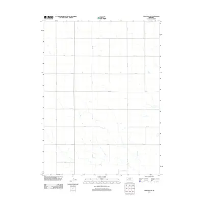 2011 Chappell NE2011 Print · USGSDeuel County's open prairie and High Plains agricultural grid are documented in detail during the early twenty-first century. Researchers can trace the geometric network of section-line routes including Road 177, Road 187, and Road 34 across this Nebraska panhandle landscape.
 - 2011 Map of Lodgepole SE, 2011 Print
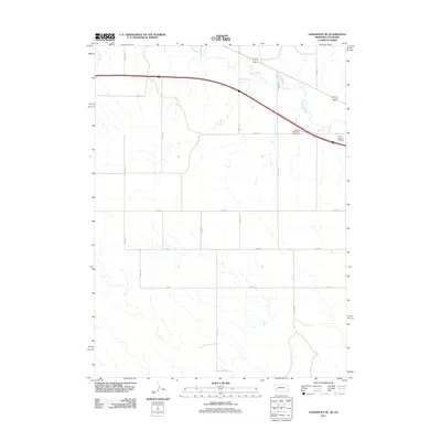 2011 Lodgepole SE2011 Print · USGSDeuel County, Nebraska, is seen here in the early twenty-first century as a landscape of structured agricultural grids and prairie waterways. Local historians can locate Saint Joseph Cemetery and trace the paths of Lodgepole Creek and Cole Creek.
 - 2011 Map of Barton, 2011 Print
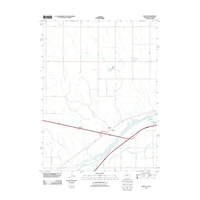 2011 Barton2011 Print · USGSThe Nebraska-Colorado borderlands meet at the South Platte River in this 2011 survey of the high plains. Researchers can trace the agricultural water systems of the Western Canal and Beasley Reservoir or locate the settlement at Barton.
Showing maps 1-25 of 60
Top cities of Deuel County
Frequently asked questions
- What are the different types of historical maps available for Deuel County?
- What is the oldest map of Deuel County?
- Where can I purchase historical maps of Deuel County for my home or office?
- Where can I download high-res historical maps of Deuel County?
- Are there historical topographic maps available for Deuel County?
- Is there historical aerial imagery available for Deuel County?
- Where are historical maps of Deuel County sourced from?