2020s Maps of Deuel County, Nebraska
Explore 10 historic maps of Deuel County from the 2020s. These maps offer a rare glimpse into what life looked like during the 2020s — showing old roads, neighborhoods, homes, and landmarks that have changed or disappeared over time.
Whether you're researching your family's past, planning a metal detecting trip, or studying how Deuel County's landscape evolved across the 2020s, these high-resolution maps are a powerful tool for exploring the history of this region.
- Focus on a specific era: All maps on this page are from the 2020s, giving you a focused view of this time period.
- See what’s changed: Compare century-old streets, trails, and buildings to today's modern landscape using overlays and satellite layers.
- Research with precision: Use these maps for genealogy, historical research, land use analysis, or educational projects.
- View, download, or print: Maps are fully viewable online in high resolution, and can be downloaded or printed for your own records.
Start exploring Deuel County's history through authentic maps from the 2020s. This is your window into the past.
Deuel County, NE maps
(10)- 2021 Map of Chappell NW, 2021 Print
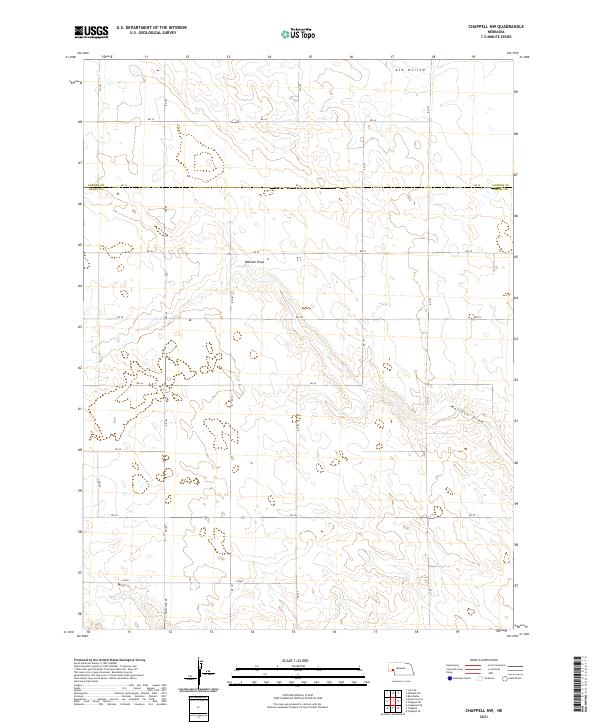 2021 Chappell NW2021 Print · USGSDeuel and Garden Counties meet in this Nebraska panhandle landscape during the early 2020s, showing a high plains territory defined by its complex drainage systems. Genealogists and researchers can trace the modern road grid across Ash Hollow and Walrath Draw.
 - 2021 Map of Mount Vernon, 2021 Print
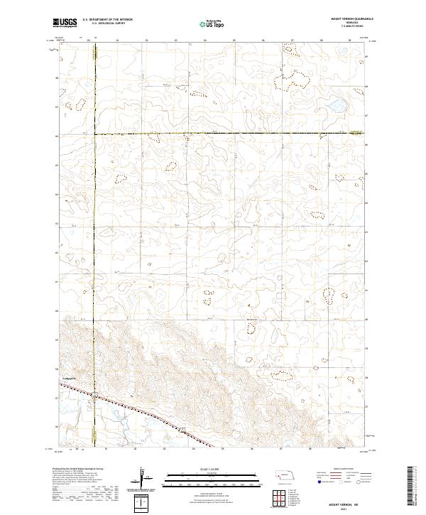 2021 Mount Vernon2021 Print · USGSThe high plains of the Nebraska Panhandle are captured here in the early twenty-first century, spanning the borders of Deuel, Cheyenne, and Garden counties. Researchers can trace the path of Lodgepole Cr and locate rural landmarks like Mt Vernon and Lodgepole.
 - 2021 Map of Big Springs NW, 2021 Print
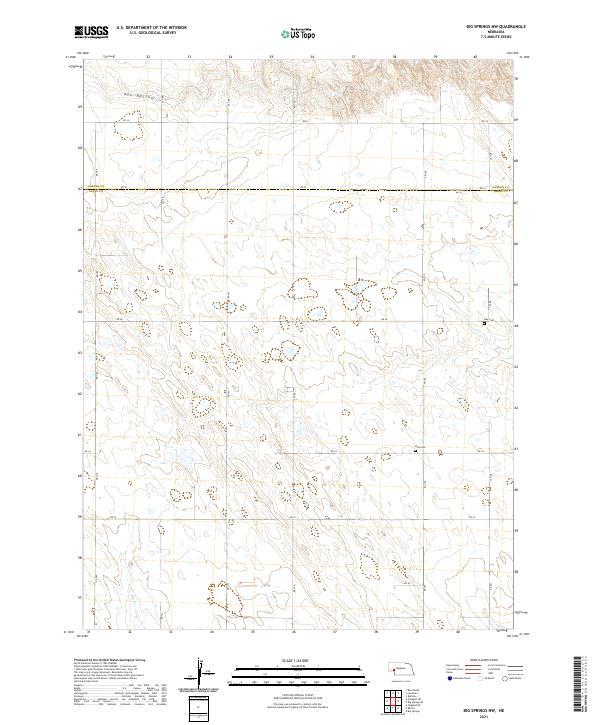 2021 Big Springs NW2021 Print · USGSDeuel County's high-plains landscape is captured in the early 2020s, showing a remote region organized by a strict grid of section roads. Genealogists and local historians can locate rural burial sites like Zion Cem and Day Cem near the prominent Ash Hollow.
 - 2021 Map of Big Springs NE, 2021 Print
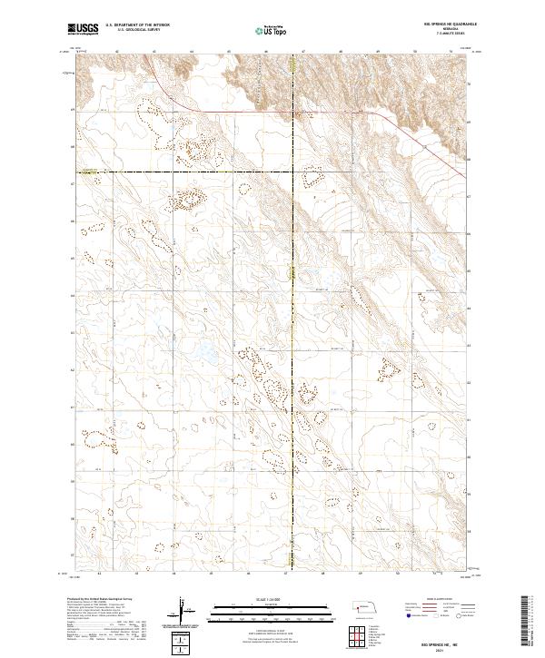 2021 Big Springs NE2021 Print · USGSWestern Nebraska's panhandle is mapped here in the early twenty-first century, showing the intersection of three counties in a vast agricultural grid. Researchers can trace land boundaries and rural routes like RD 34 near the head of Dankworth Canyon.
 - 2021 Map of Chappell NE, 2021 Print
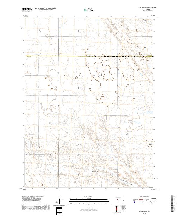 2021 Chappell NE2021 Print · USGSDeuel and Garden counties in the early 2020s remain defined by their vast agricultural grid and seasonal watercourses. Researchers can trace the section-line roads and natural landmarks like Walrath Draw and the southern reaches of Ash Hollow.
 - 2021 Map of Big Springs, 2021 Print
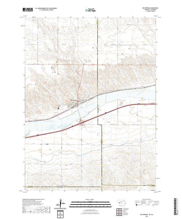 2021 Big Springs2021 Print · USGSThe interstate and river corridor around Big Springs comes into sharp focus during this recent survey of the Nebraska-Colorado border. Local history researchers can trace the landscape from Big Spring Cem to the irrigation works of the Western Canal.
 - 2021 Map of Chappell SE, 2021 Print
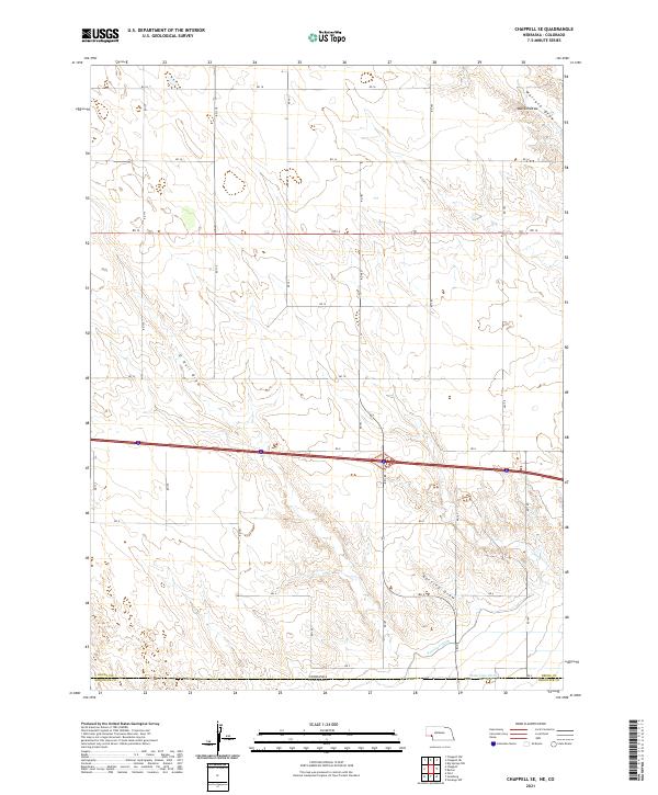 2021 Chappell SE2021 Print · USGSThe high plains borderland between Nebraska and Colorado is captured here in the early twenty-first century. Researchers can trace the path of essential irrigation infrastructure like Peterson Ditch and State Line Ditch or follow the natural drainages of O Neill Draw.
 - 2021 Map of Barton, 2021 Print
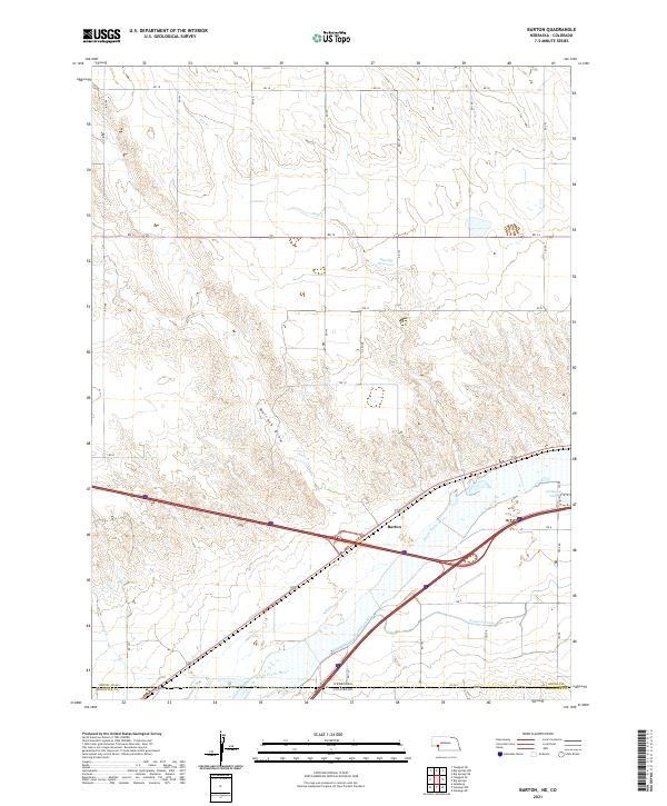 2021 Barton2021 Print · USGSThe Nebraska-Colorado state line comes alive in this contemporary survey of the High Plains river country. Genealogists and local historians can trace the irrigation heritage of the South Platte River valley through the Western Canal and the settlement at Barton.
 - 2021 Map of Chappell, 2021 Print
 2021 Chappell2021 Print · USGSThe Nebraska panhandle comes into focus here in the early twenty-first century, centered on the civic hub of Chappell. Genealogists and local historians can trace family sites at the Chappell Cem and Mennonite Cem, or locate the Deuel County Courthouse.
 - 2021 Map of Lodgepole SE, 2021 Print
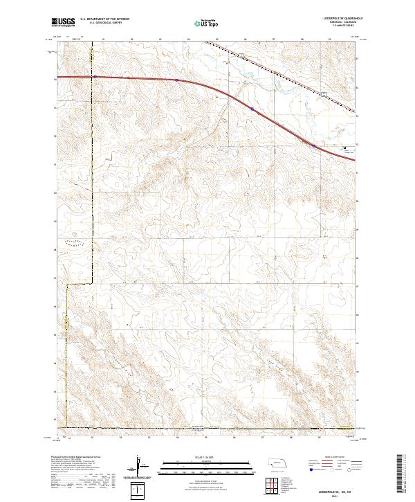 2021 Lodgepole SE2021 Print · USGSThe Nebraska and Colorado borderlands are captured here in the early twenty-first century as the agricultural grid meets the natural draws of the High Plains. Researchers can trace land divisions and local landmarks like Saint Joseph Cem and the waters of Lodgepole Cr.
End of results
Showing maps 1-10 of 10
Top cities of Deuel County
Frequently asked questions
- What are the different types of historical maps available for Deuel County?
- What is the oldest map of Deuel County?
- Where can I purchase historical maps of Deuel County for my home or office?
- Where can I download high-res historical maps of Deuel County?
- Are there historical topographic maps available for Deuel County?
- Is there historical aerial imagery available for Deuel County?
- Where are historical maps of Deuel County sourced from?