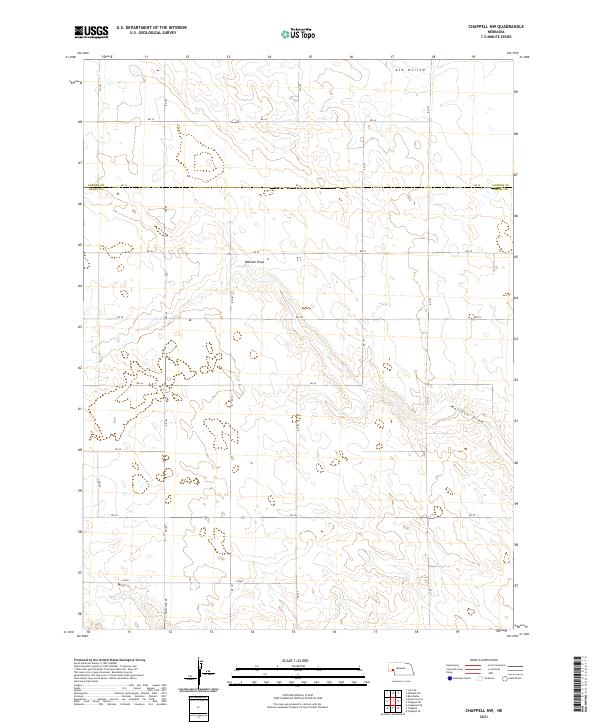
2021 Map of Chappell NW
USGS Topo · Published 2021About this map
Ash Hollow and the branching drainage of Walrath Draw dominate this high plains landscape on the border of Deuel and Garden Counties. This 2021 topographic survey documents a region characterized by deep draws and dry watercourses that cut through the Nebraska panhandle's tablelands. The map clearly delineates the Garden Co and Deuel Co boundary as it intersects the section lines of the Public Land Survey System. A network of rural section-line roads, including Rd 165 and Rd 173, provides access to the agricultural acreage and cattle range that define the local economy. For those researching the physical layout of these counties, the map provides precise data on elevation contours and the modern road grid including Wheatland Dr.
Find a feature on this map
24 named features on this map. Tap any name to fly to it.
Don’t see what you’re looking for? This feature index may not catch every label — zoom into the map to look around manually.
Map Details
Editions of this 2021 Chappell NW Map
This is the sole edition of this map. No revisions or reprints were ever made.
Other maps of this area

1899 · Sidney
USGS Topo · 1:125,000

1900 · Chappell
USGS Topo · 1:125,000

1954 · Scottsbluff
USGS Topo · 1:250,000

1958 · Scottsbluff
USGS Topo · 1:250,000

1961 · Chappell
USGS Topo · 1:24,000

1961 · Chappell SE
USGS Topo · 1:24,000

1971 · Barn Butte
USGS Topo · 1:24,000

1971 · Chappell NE
USGS Topo · 1:24,000

1971 · Oshkosh SW
USGS Topo · 1:24,000

1971 · Chappell NW
USGS Topo · 1:24,000