2020s Maps of Fillmore County, Nebraska
Explore 20 historic maps of Fillmore County from the 2020s. These maps offer a rare glimpse into what life looked like during the 2020s — showing old roads, neighborhoods, homes, and landmarks that have changed or disappeared over time.
Whether you're researching your family's past, planning a metal detecting trip, or studying how Fillmore County's landscape evolved across the 2020s, these high-resolution maps are a powerful tool for exploring the history of this region.
- Focus on a specific era: All maps on this page are from the 2020s, giving you a focused view of this time period.
- See what’s changed: Compare century-old streets, trails, and buildings to today's modern landscape using overlays and satellite layers.
- Research with precision: Use these maps for genealogy, historical research, land use analysis, or educational projects.
- View, download, or print: Maps are fully viewable online in high resolution, and can be downloaded or printed for your own records.
Start exploring Fillmore County's history through authentic maps from the 2020s. This is your window into the past.
Fillmore County, NE maps
(20)- 2021 Map of Friend SE, 2021 Print
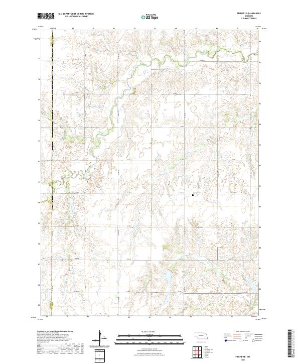 2021 Friend SE2021 Print · USGSThe rural border of Saline and Fillmore counties comes into focus in this recent survey of the Nebraska plains. Local historians and genealogists can pinpoint the Applegate Cem or trace water rights through Weber Reservoir and Turkey Creek.
 - 2021 Map of Davenport, 2021 Print
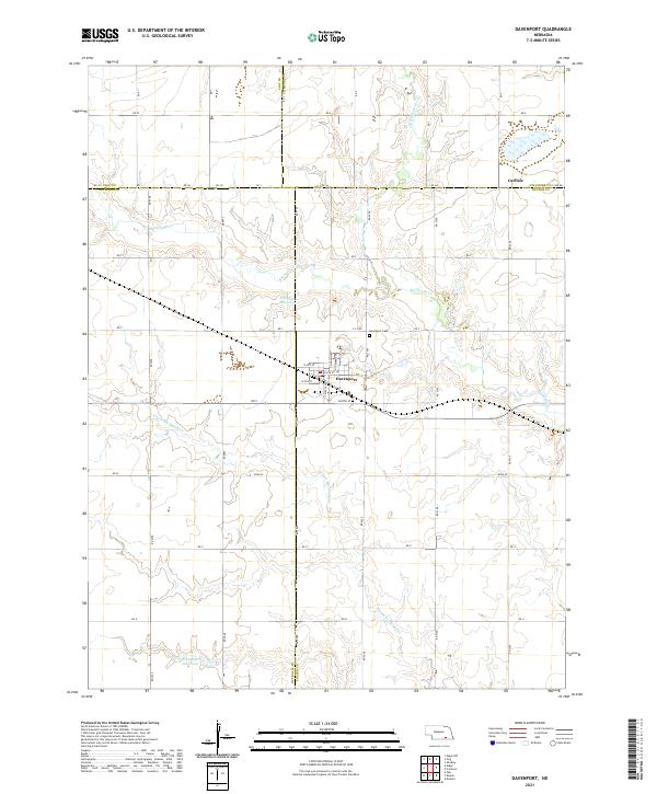 2021 Davenport2021 Print · USGSDavenport and the surrounding Thayer County plains are captured here in the early twenty-first century as a landscape of grid-roads and creek-fed reservoirs. Genealogists can trace property locations along RD 5000 or locate burials at Davenport Cem and the settlement of Carlisle.
 - 2021 Map of Ohiowa, 2021 Print
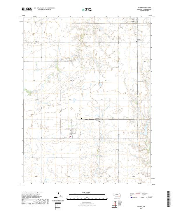 2021 Ohiowa2021 Print · USGSAgricultural section lines and rural villages define this Nebraska landscape in the early twenty-first century. Genealogists can trace family heritage across numerous burial sites like Bohemian National Cem, Pioneer Cem, and Ohiowa Cem.
 - 2021 Map of Friend SW, 2021 Print
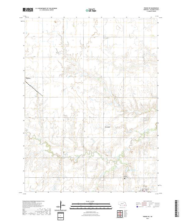 2021 Friend SW2021 Print · USGSFillmore County at the start of the 2020s remains a landscape of deep-rooted homesteads and prairie streams. Genealogists and local historians can locate the Bohemian Brethren Cem or trace the drainage of Turkey Creek near the quiet settlement of Burress.
 - 2021 Map of Tobias SW, 2021 Print
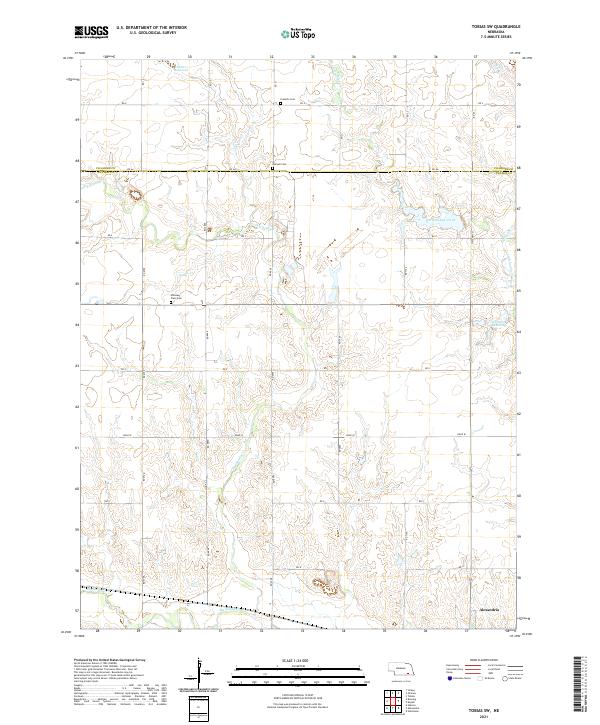 2021 Tobias SW2021 Print · USGSThayer County farm country is documented here in the early twenty-first century, centered on the drainage of the Sandy Creeks. Researchers can find long-established rural landmarks like Franklin Cem, Pleasant Plain Cem, and the village of Alexandria.
 - 2021 Map of Exeter, 2021 Print
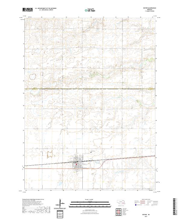 2021 Exeter2021 Print · USGSThe village of Exeter and the surrounding Fillmore County farmland are documented here in the early twenty-first century. Researchers can trace local genealogy at the Exeter Cem or map the drainage of N Fork Johnson Cr and Antelope Cr.
 - 2021 Map of Daykin, 2021 Print
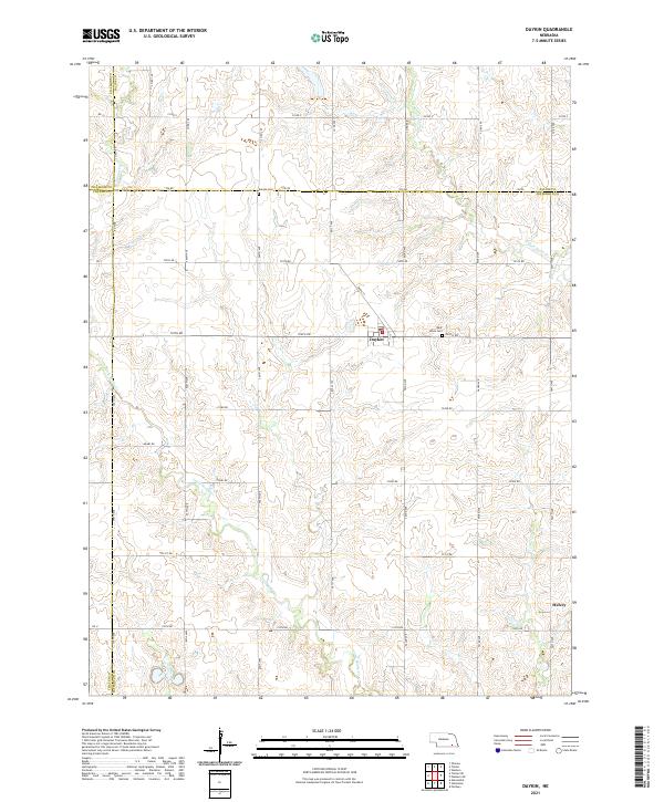 2021 Daykin2021 Print · USGSJefferson County agricultural life is captured here in the early twenty-first century, centered on the village of Daykin. Genealogists and local historians can trace family land and rural sites like Saint Johns Cem and the settlement of Helvey.
 - 2021 Map of Bixby, 2021 Print
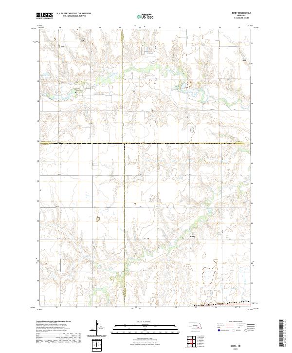 2021 Bixby2021 Print · USGSThe rural borders of four Nebraska counties meet here in the early twenty-first century, centered on the small community of Bixby. Genealogists and local historians can trace the landscape around Farmers Valley Cem and the banks of the West Fork Big Blue River.
 - 2021 Map of Bruning, 2021 Print
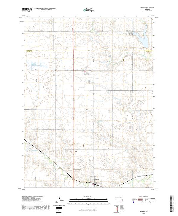 2021 Bruning2021 Print · USGSThayer and Fillmore Counties are captured here in their contemporary agricultural configuration. Genealogists can locate Keim Cemetery while researchers trace the water routes of Big Sandy Creek and the streets of Belvidere.
 - 2021 Map of Fairmont, 2021 Print
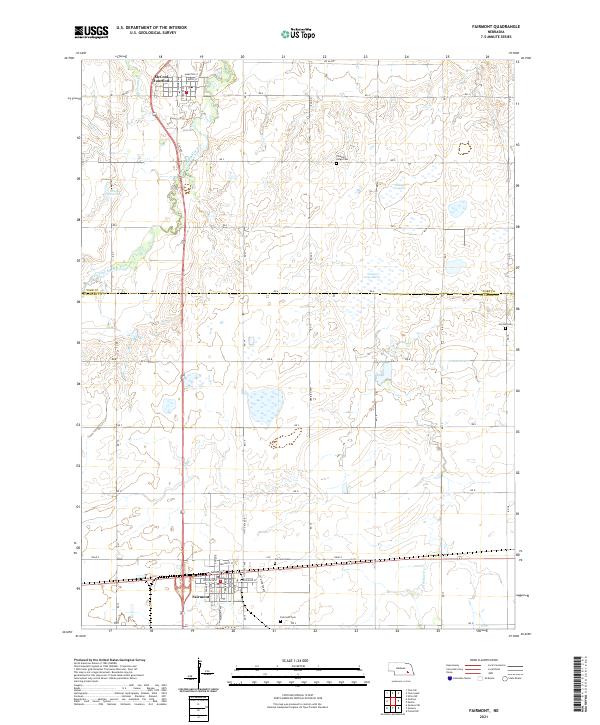 2021 Fairmont2021 Print · USGSThe agricultural plains of York and Fillmore Counties come into focus in the early 2020s, showing the settled grid surrounding the West Fork Big Blue River. Researchers can trace family roots at Fairmont Cem or explore the rail-linked streets of Fairmont and McCool Junction.
 - 2021 Map of Grafton, 2021 Print
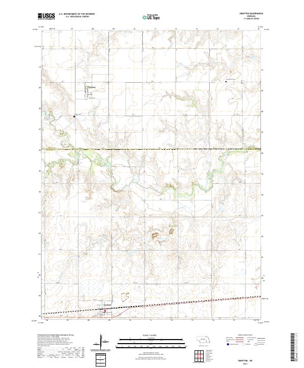 2021 Grafton2021 Print · USGSYork and Fillmore counties are shown here in the early twenty-first century, structured by an extensive grid of rural section roads. Researchers can trace local heritage at Lushton Cem or follow the path of the West Fork Big Blue River and Elk Run.
 - 2021 Map of Strang, 2021 Print
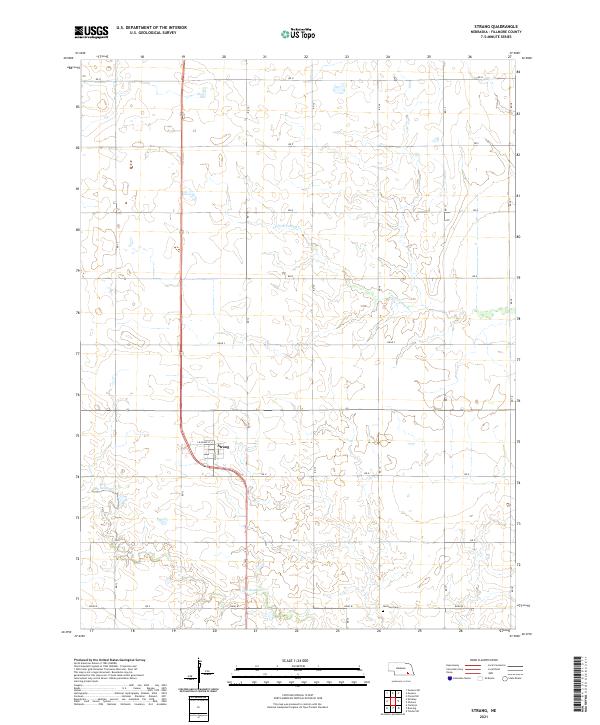 2021 Strang2021 Print · USGSFillmore County agriculture and small-town life are documented here during the early twenty-first century. Researchers can trace the layout of Strang and locate rural landmarks like Harmony Cem or the winding path of S Fork Turkey Cr.
 - 2021 Map of Shickley, 2021 Print
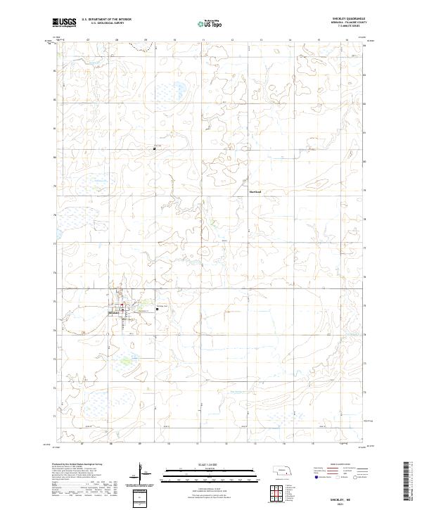 2021 Shickley2021 Print · USGSFillmore County at the start of the 2020s remains a landscape of deep-rooted agricultural patterns and small-town Nebraska life. Genealogists and local historians can trace family locations near Shickley, the quiet streets of Martland, or the grounds of Zion Cem and Shickley Cem.
 - 2021 Map of Carleton, 2021 Print
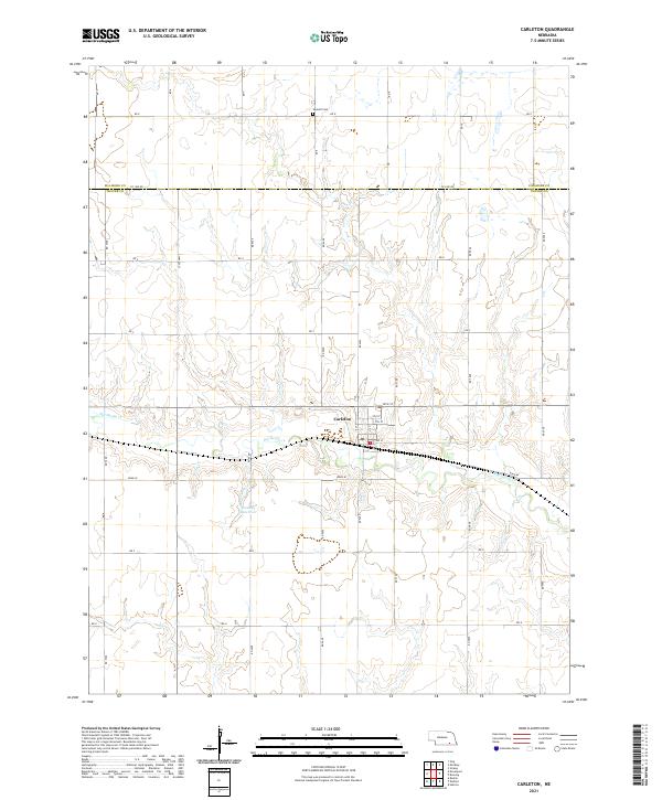 2021 Carleton2021 Print · USGSIn the early 2020s, this portion of Thayer and Fillmore counties remains a classic Nebraska farming landscape centered on the village of Carleton. Genealogists and local historians can trace property boundaries near Summit Cem and the winding course of Big Sandy Cr.
 - 2021 Map of Tobias, 2021 Print
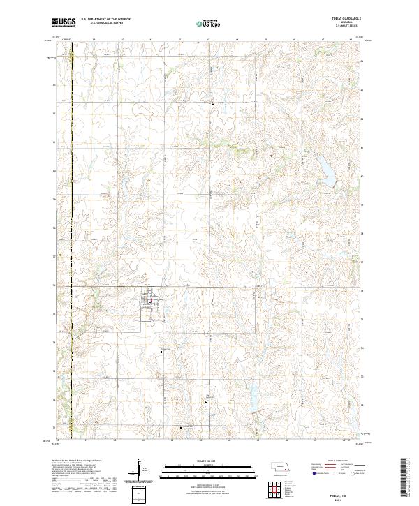 2021 Tobias2021 Print · USGSThe village of Tobias and the Saline County countryside are shown here in the modern era, preserving a landscape of section-line roads and creek-fed farms. Genealogists can locate several historic burial grounds including Atlanta Cem and Old Zion Cem.
 - 2021 Map of Geneva SW, 2021 Print
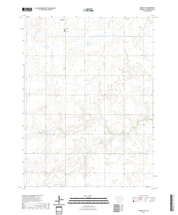 2021 Geneva SW2021 Print · USGSAgricultural Fillmore County is mapped here in the early 2020s, revealing the enduring grid of rural roads and prairie waterways. Family historians can locate specific burial sites at Grafton Cem and Holy Cross Cem or trace the winding paths of Turkey Cr.
 - 2021 Map of Sutton, 2021 Print
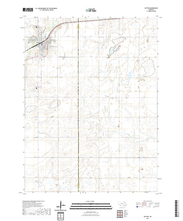 2021 Sutton2021 Print · USGSThe agricultural plains of the Clay and Fillmore county border come to life in this modern survey of the Sutton area. Researchers can pinpoint specific landmarks including Sutton Cem, Calvary Cem, and the meandering path of School Creek.
 - 2021 Map of Friend, 2021 Print
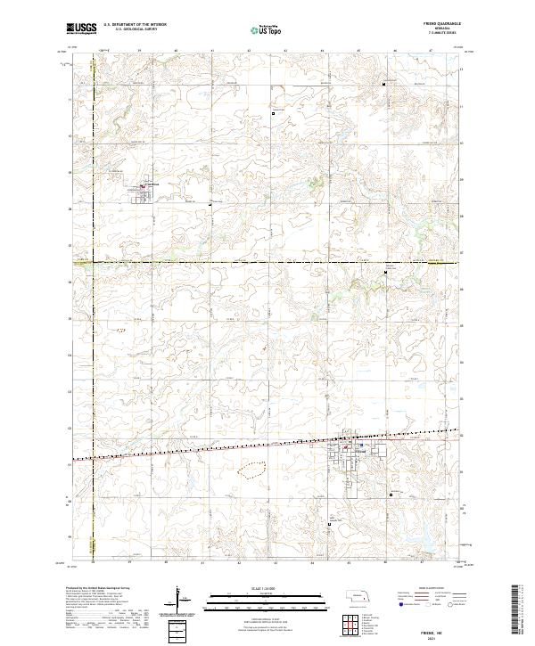 2021 Friend2021 Print · USGSSoutheast Nebraska’s rolling farm country is captured here in the early twenty-first century, centered on the historic crossroads of Friend and Cordova. Genealogists can trace rural family plots at Zastrow Cem and Johnson Creek Cem while mapping the waterways of N Fork Johnson Cr.
 - 2021 Map of Ong, 2021 Print
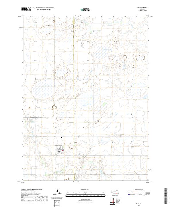 2021 Ong2021 Print · USGSThe village of Ong and its surrounding agricultural sections are captured here in the early 2020s, bridging the line between Clay and Fillmore counties. Researchers can trace local heritage through the Swedish Cemetery, Fairview Cemetery, and the grid of Ong.
 - 2021 Map of Geneva, 2021 Print
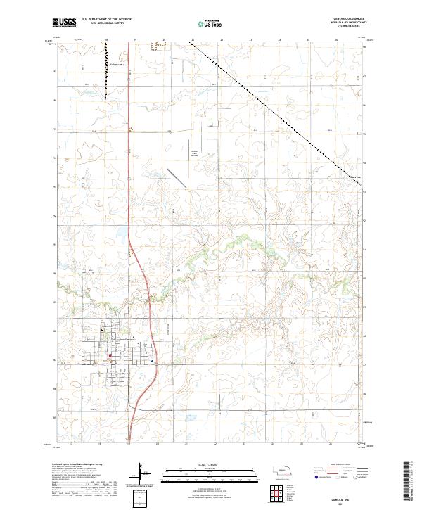 2021 Geneva2021 Print · USGSGeneva and Fairmont anchor this Fillmore County landscape in the early 2020s, revealing the organized grid of Nebraska's agricultural heartland. Researchers can trace local landmarks like the Fillmore County Courthouse, Geneva Cem, and the Fairmont State Airfield.
End of results
Showing maps 1-20 of 20
Top cities of Fillmore County
- Geneva historical maps
- Exeter historical maps
- Fairmont historical maps
- Shickley historical maps
- Milligan historical maps
- Grafton historical maps
See more
Frequently asked questions
- What are the different types of historical maps available for Fillmore County?
- What is the oldest map of Fillmore County?
- Where can I purchase historical maps of Fillmore County for my home or office?
- Where can I download high-res historical maps of Fillmore County?
- Are there historical topographic maps available for Fillmore County?
- Is there historical aerial imagery available for Fillmore County?
- Where are historical maps of Fillmore County sourced from?