1960s Maps of Fillmore County, Nebraska
Explore 20 historic maps of Fillmore County from the 1960s. These maps offer a rare glimpse into what life looked like during the 1960s — showing old roads, neighborhoods, homes, and landmarks that have changed or disappeared over time.
Whether you're researching your family's past, planning a metal detecting trip, or studying how Fillmore County's landscape evolved across the 1960s, these high-resolution maps are a powerful tool for exploring the history of this region.
- Focus on a specific era: All maps on this page are from the 1960s, giving you a focused view of this time period.
- See what’s changed: Compare century-old streets, trails, and buildings to today's modern landscape using overlays and satellite layers.
- Research with precision: Use these maps for genealogy, historical research, land use analysis, or educational projects.
- View, download, or print: Maps are fully viewable online in high resolution, and can be downloaded or printed for your own records.
Start exploring Fillmore County's history through authentic maps from the 1960s. This is your window into the past.
Fillmore County, NE maps
(20)- 1960 Map of Bruning
 1960 Bruning1960 Print · USGSThayer County agriculture and rail networks are well-established in the early sixties, centered on the villages of Bruning and Belvidere. Genealogists can locate Keim Cem and trace the paths of the Union Pacific and Burlington railroads.
 - 1960 Map of Davenport, 1961 Print
 1960 Davenport1961 Print · USGSDavenport was a bustling rail crossroads in the early sixties where two major lines intersected amidst the creek valleys of southern Nebraska. Researchers can trace the town's original footprint, find the local Cem, and follow the Union Pacific and Chicago and North Western tracks.
 - 1960 Map of Carleton, 1962 Print
 1960 Carleton1962 Print · USGSThayer and Fillmore Counties are captured here at the start of the 1960s, centered on the railroad village of Carleton. Genealogists and historians can trace family locations near landmarks like Bethel Ch, Summit Cem, and along the Union Pacific corridor.
 - 1960 Map of Tobias SW, 1962 Print
 1960 Tobias SW1962 Print · USGSThayer and Fillmore counties are shown at the start of the 1960s, centered on the massive footprint of the Bruning State Airfield. Genealogists can trace family plots at Alexandria Cem or locate the old School No 21 near the Union Pacific line.
 - 1960 Map of Daykin, 1962 Print
 1960 Daykin1962 Print · USGSJefferson County farming communities and rail sidings are frozen in time during the early sixties. Genealogists can trace family farmsteads near Daykin and Helvey, or locate rural burials at Eureka Cem and St Johns Cem.
 - 1961 Map of Tobias, 1963 Print
 1961 Tobias1963 Print · USGSThe village of Tobias and the surrounding plains are captured in the early 1960s, showing a landscape defined by rail transit and small rural school districts. Genealogists can trace family footprints through several local sites including Atlanta Cem, Zion Sch, and Tobias Cem.
 - 1961 Map of Ohiowa, 1963 Print
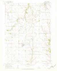 1961 Ohiowa1963 Print · USGSFillmore County settlement and agriculture are captured here in the early sixties, centered on the rail-linked hubs of Ohiowa and Milligan. Researchers can trace numerous family-history sites like Bohemian National Cem and Pleasant Ridge Sch.
 - 1966 Map of Friend, 1967 Print
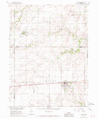 1966 Friend1967 Print · USGSSaline County agricultural life and rail connections are preserved here as they appeared in the mid-1960s. Genealogists can trace family landmarks and rural burials at St Josephs Cem, Zastrow Cem, and the village of Cordova.
 - 1966 Map of Friend SE, 1967 Print
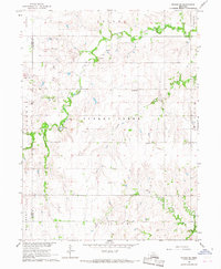 1966 Friend SE1967 Print · USGSSaline and Fillmore counties are shown in the mid-sixties, capturing a landscape of section-line roads and family farmsteads. Genealogists can locate rural landmarks such as Standard Sch, Turkey Creek Cem, and the Applegate Cem.
 - 1969 Map of Bixby
 1969 Bixby1969 Print · USGSThe rural landscapes of Fillmore and York Counties are captured in the late sixties as the river-and-rail economy defined the region. Researchers can trace local heritage at Farmers Valley, locate the Salem Ch, or follow the Burlington Northern line.
 - 1969 Map of Ong, 1971 Print
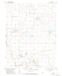 1969 Ong1971 Print · USGSClay and Fillmore counties at the end of the sixties reveal a landscape defined by rail-line villages and prairie wetlands. Genealogists and local historians can trace family locations near Ong, Stockholm Church, and the Swedish Cemetery.
 - 1969 Map of Geneva, 1971 Print
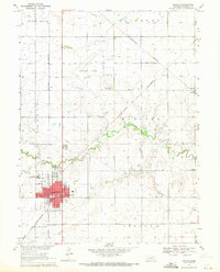 1969 Geneva1971 Print · USGSThe county seat of Geneva and the surrounding Fillmore County plains are captured here in the late sixties as agricultural and rail networks converged. Genealogists can locate the town Cemetery, the State Girls Training School, and parochial landmarks like Grace Sch.
 - 1969 Map of Fairmont, 1971 Print
 1969 Fairmont1971 Print · USGSFairmont and McCool Junction appear during the transition to the Burlington Northern era, showcasing a landscape defined by rail and river. Genealogists can locate family sites at Pleasant Ridge Cem or Horton Cem and trace the course of Indian Creek.
 - 1969 Map of Grafton, 1971 Print
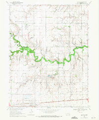 1969 Grafton1971 Print · USGSThe York and Fillmore County line in the late 1960s reveals a landscape of prairie agriculture and shifting railroads. Genealogists and local historians can trace the foundations of Grafton and Lushton while locating Lushton Cem and the Old Grade Railroad.
 - 1969 Map of Geneva SW, 1971 Print
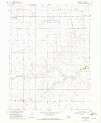 1969 Geneva SW1971 Print · USGSFillmore County at the end of the sixties shows a landscape dedicated to agriculture and conservation before modern irrigation intensified. Family historians can trace local landmarks like Grafton Cem or explore protected prairie waters at Morphy Lagoon National Wildlife Management Area.
 - 1969 Map of Exeter, 1971 Print
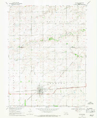 1969 Exeter1971 Print · USGSExeter and the surrounding Fillmore County farmland are shown here in the late sixties at the crossing of two major rail lines. Genealogists and local historians can trace the town’s layout near Exeter Cem and follow the paths of Indian Creek and Johnson Creek.
 - 1969 Map of Sutton, 1971 Print
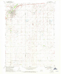 1969 Sutton1971 Print · USGSThe town of Sutton was a rail-centered community in the late 1960s, defined by its prairie lagoons and aviation strips. Genealogists can locate family names at Sutton Cem or trace rural aviation history at the Plettner Landing Strip.
 - 1969 Map of Friend SW, 1971 Print
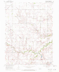 1969 Friend SW1971 Print · USGSAgricultural life in Fillmore County during the late sixties is centered on rail hubs and creek bottoms. Genealogists can trace the Bohemian Brethren church in Milligan, the small settlement at Burress, and rural landmarks like the Townhall and local Grave.
 - 1969 Map of Shickley, 1971 Print
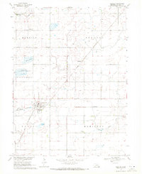 1969 Shickley1971 Print · USGSFillmore County agriculture and transit are in focus during the late sixties as the rail lines intersect at Shickley. Genealogists and local historians can trace rural roots at St Marys Ch, Zion Cem, and the small settlement of Martland.2 unique versions available
 - 1969 Map of Strang, 1971 Print
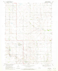 1969 Strang1971 Print · USGSThe village of Strang and its surrounding townships are captured in the late 1960s as a primary rail-and-farming hub. Genealogists and local historians can trace family land through the sections of Belle Prairie and locate landmarks like the Harmony Cem.
End of results
Showing maps 1-20 of 20
Top cities of Fillmore County
- Geneva historical maps
- Exeter historical maps
- Fairmont historical maps
- Shickley historical maps
- Milligan historical maps
- Grafton historical maps
See more
Frequently asked questions
- What are the different types of historical maps available for Fillmore County?
- What is the oldest map of Fillmore County?
- Where can I purchase historical maps of Fillmore County for my home or office?
- Where can I download high-res historical maps of Fillmore County?
- Are there historical topographic maps available for Fillmore County?
- Is there historical aerial imagery available for Fillmore County?
- Where are historical maps of Fillmore County sourced from?