Old Maps of Burress, Nebraska for Genealogy
Trace your family roots with 11 historic maps of Burress. These high-res maps reveal old neighborhoods, homesites, landmarks, and streets — helping you uncover where your ancestors lived and how the area evolved over time.
- Explore historic neighborhoods: Identify where your relatives may have lived in the 1800s or 1900s.
- Compare maps over time: Trace the changes in streets, buildings, and landmarks for multi-generational research.
- Perfect for genealogy & ancestry research: Used by family historians and researchers to map out lineage and migration.
These maps are an incredible resource for exploring your personal connection to Burress's past.
Burress, NE maps
(11)- 1898 Map of York
 1898 York1898 Print · USGSIn the late 1890s, the Nebraska plains were defined by a massive expansion of competing rail lines and growing farm towns. Trace the early township grids and historic rail hubs like York, Sutton, and the river crossing at McCool.4 unique versions available
 - 1899 Map of York, 1922 Print
 1899 York1922 Print · USGSSoutheast Nebraska was a burgeoning hub of rail and river commerce in the 1890s as homesteads solidified into permanent townships. Genealogists can trace family roots through early rail stops like Saronville, Lushton, and the county seats of York and Geneva.
 - 1955 Map of Lincoln, 1967 Print
 1955 Lincoln1967 Print · USGSSoutheast Nebraska in the mid-fifties presents a landscape of thriving railroad towns and the expanding footprint of the capital city. Researchers can trace the legacy of the pioneer era at the Homestead National Monument of America or locate mid-century military infrastructure like Lincoln Air Force Base.5 unique versions available
 - 1957 Map of Lincoln
 1957 Lincoln1957 Print · USGSSoutheastern Nebraska at mid-century shows a landscape of thriving rail towns and expanding infrastructure centered on Lincoln. Researchers can trace the path of the Chicago Burlington and Quincy railroad through communities like Weeping Water, Fairmont, and Seward.
 - 1958 Map of Lincoln
 1958 Lincoln1958 Print · USGSSoutheast Nebraska at the end of the 1950s shows a region defined by agricultural trade and the expansion of the state capital. Genealogists can trace family footprints across the Blue Valley and locate landmarks like the Lincoln AFB or the U.S. Veterans Hospital.
 - 1969 Map of Geneva, 1971 Print
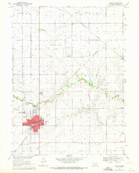 1969 Geneva1971 Print · USGSThe county seat of Geneva and the surrounding Fillmore County plains are captured here in the late sixties as agricultural and rail networks converged. Genealogists can locate the town Cemetery, the State Girls Training School, and parochial landmarks like Grace Sch.
 - 1985 Map of York
 1985 York1985 Print · USGSSoutheast Nebraska in the mid-1980s shows a landscape of productive plains and vital transport corridors along the Burlington Northern line. Trace the history of local institutions like Concordia Teachers College and find family sites at Greenwood Cem or Thayer Cem.2 unique versions available
 - 2011 Map of Geneva, 2011 Print
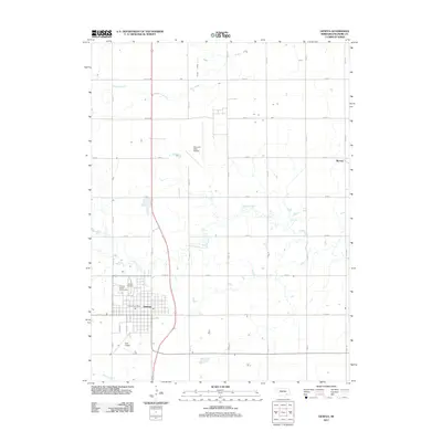 2011 Geneva2011 Print · USGSGeneva and its surrounding Fillmore County farmland are captured here in the early 2010s, showing a landscape defined by prairie agriculture and aviation. Researchers can trace the layout of the Fillmore County Fairgrounds, locate the Geneva Cemetery, or find the small community of Burress.
 - 2014 Map of Geneva, 2014 Print
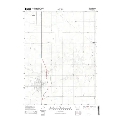 2014 Geneva2014 Print · USGSThe agricultural plains of Fillmore County are captured here in the early twenty-first century, centered on the growing community of Geneva. Researchers can trace local landmarks like the Fairmont State Airfield and the historic Geneva Cem.
 - 2017 Map of Geneva, 2017 Print
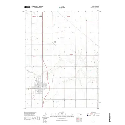 2017 Geneva2017 Print · USGSThe agricultural plains of Fillmore County are captured here in the late twenty-teens, anchored by the structured town grids of Geneva and Fairmont. Genealogists and local historians can trace family plots at Geneva Cemetery or locate historic homesteads near Turkey Creek and the settlement of Burress.
 - 2021 Map of Geneva, 2021 Print
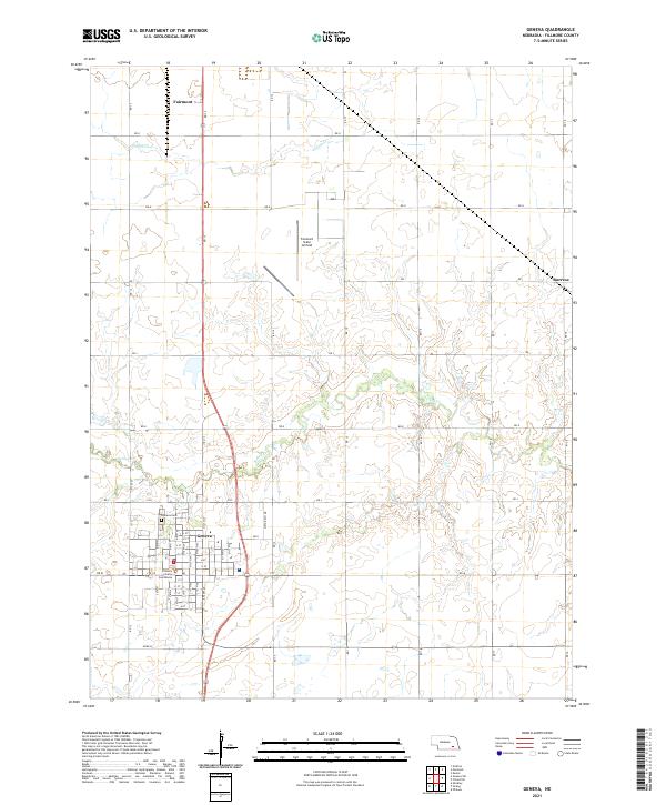 2021 Geneva2021 Print · USGSGeneva and Fairmont anchor this Fillmore County landscape in the early 2020s, revealing the organized grid of Nebraska's agricultural heartland. Researchers can trace local landmarks like the Fillmore County Courthouse, Geneva Cem, and the Fairmont State Airfield.
End of results
Showing maps 1-11 of 11
Top cities near Burress
- Geneva historical maps
- Friend historical maps
- Exeter historical maps
- Fairmont historical maps
- Beaver Crossing historical maps
- McCool Junction historical maps
See more
Frequently asked questions
- What are the different types of historical maps available for Burress?
- What is the oldest map of Burress?
- Where can I purchase historical maps of Burress for my home or office?
- Where can I download high-res historical maps of Burress?
- Are there historical topographic maps available for Burress?
- Is there historical aerial imagery available for Burress?
- Where are historical maps of Burress sourced from?