1900s (20th Century) Maps of Gage County, Nebraska
Explore 32 historic maps of Gage County from the 1900s (20th Century). These maps offer a rare glimpse into what life looked like during the 1900s — showing old roads, neighborhoods, homes, and landmarks that have changed or disappeared over time.
Whether you're researching your family's past, planning a metal detecting trip, or studying how Gage County's landscape evolved across the 1900s, these high-resolution maps are a powerful tool for exploring the history of this region.
- Focus on a specific era: All maps on this page are from the 1900s, giving you a focused view of this time period.
- See what’s changed: Compare century-old streets, trails, and buildings to today's modern landscape using overlays and satellite layers.
- Research with precision: Use these maps for genealogy, historical research, land use analysis, or educational projects.
- View, download, or print: Maps are fully viewable online in high resolution, and can be downloaded or printed for your own records.
Start exploring Gage County's history through authentic maps from the 1900s. This is your window into the past.
Gage County, NE maps
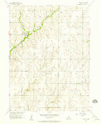
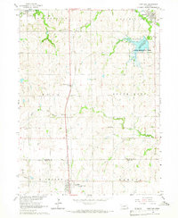
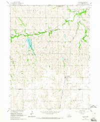
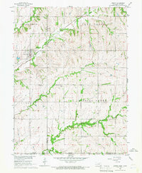
(32)- 1903 Map of Weeping Water
 1903 Weeping Water1903 Print · USGSSoutheast Nebraska at the start of the twentieth century was a thriving patchwork of rail-dependent prairie towns and river valleys. Genealogists and local historians can trace early property boundaries and township seats like Weeping Water, Syracuse, and the riverside town of Louisville.2 unique versions available
 - 1929 Map of Weeping Water
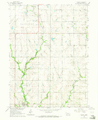
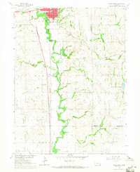
 1929 Weeping Water1929 Print · USGSEastern Nebraska's fertile prairie was a hub of railroad development and river-valley settlement at the start of the twentieth century. Researchers can trace the early layout of communities like Weeping Water, Syracuse, and Louisville along the Missouri Pacific R. R. and Platte River.
 - 1955 Map of Lincoln, 1967 Print
 1955 Lincoln1967 Print · USGSSoutheast Nebraska in the mid-fifties presents a landscape of thriving railroad towns and the expanding footprint of the capital city. Researchers can trace the legacy of the pioneer era at the Homestead National Monument of America or locate mid-century military infrastructure like Lincoln Air Force Base.5 unique versions available
 - 1957 Map of Lincoln
 1957 Lincoln1957 Print · USGSSoutheastern Nebraska at mid-century shows a landscape of thriving rail towns and expanding infrastructure centered on Lincoln. Researchers can trace the path of the Chicago Burlington and Quincy railroad through communities like Weeping Water, Fairmont, and Seward.
 - 1957 Map of Plymouth, 1958 Print
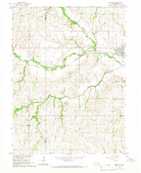
 1957 Plymouth1958 Print · USGSThe prairie landscape surrounding Plymouth is captured here in the late fifties, showcasing a dense network of rural schools and active railroads. Genealogists can locate specific family landmarks like Woodlawn Cem, School No 112, and the Chicago Rock Island and Pacific rail line.2 unique versions available
 - 1957 Map of Clatonia, 1958 Print
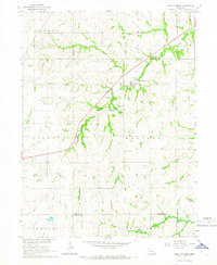
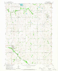
 1957 Clatonia1958 Print · USGSGage County farming communities thrive in the late fifties as rail lines still define the local economy. Trace family roots and rural landmarks through sites like Highland Center Cem, St Pauls Ch, and the Zion Sch.2 unique versions available
 - 1957 Map of Beatrice West, 1958 Print
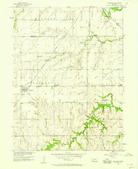
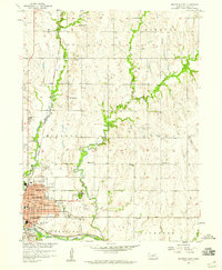
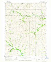
 1957 Beatrice West1958 Print · USGSGage County in the late fifties centers on the winding river valley as it approaches the city of Beatrice. Genealogists and historians can trace many local landmarks including Homestead National Monument of America, Hoag, and rural sites like Freeman Sch.2 unique versions available
 - 1957 Map of Wilber, 1958 Print
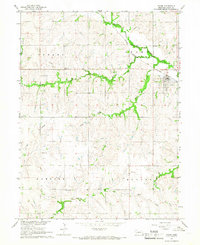
 1957 Wilber1958 Print · USGSMid-century Saline County is centered on the winding Big Blue River as it passes through the rail-connected towns of Wilber and De Witt. Researchers can locate numerous local burial sites like Cecho Slovansky Cem and trace vanished rural landmarks like Nicholas Sch (Abandoned).2 unique versions available
 - 1957 Map of Beatrice East, 1959 Print
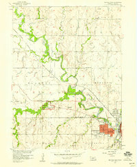
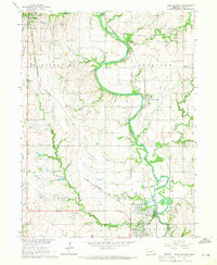
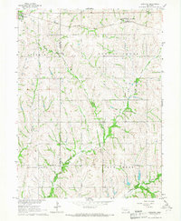
 1957 Beatrice East1959 Print · USGSBeatrice and the surrounding Gage County townships appear here during the late fifties as a thriving prairie hub. Genealogists can locate family names at Evergreen Home Cemetery or trace the rural school system through sites like Mt Olive Sch and Logan Center Sch.2 unique versions available
 - 1958 Map of Lincoln
 1958 Lincoln1958 Print · USGSSoutheast Nebraska at the end of the 1950s shows a region defined by agricultural trade and the expansion of the state capital. Genealogists can trace family footprints across the Blue Valley and locate landmarks like the Lincoln AFB or the U.S. Veterans Hospital.
 - 1964 Map of Cortland, 1965 Print
 1964 Cortland1965 Print · USGSSoutheast Nebraska farmland is captured here in the mid-sixties, centered on the Union Pacific rail corridor between Hickman and Cortland. Genealogists and local historians can locate early landmarks like Stockfeldt Cem, Good Hope Sch, and the Stagecoach Lake recreation area.2 unique versions available
 - 1964 Map of Pickrell, 1965 Print
 1964 Pickrell1965 Print · USGSGage County agriculture and the Union Pacific rail line define this prairie landscape in the mid-1960s. Genealogists can locate several rural schools and churches, including Island Center Sch, St James Ch, and the Sunnyside Cem.
 - 1964 Map of Blue Springs, 1965 Print
 1964 Blue Springs1965 Print · USGSGage County in the mid-1960s reveals a landscape where the Big Blue River snakes between industrial hubs and rural townships. Researchers can trace historic rail corridors and local heritage sites like St Marys Cemetery, Maple Grove School, and the riverfront operations in Holmesville.
 - 1964 Map of Hallam, 1965 Print
 1964 Hallam1965 Print · USGSSoutheastern Nebraska is captured in the mid-sixties as utility and recreation developments reshaped the rural landscape. Researchers can locate several historic burial grounds like Kramer Community Cem and schoolhouses such as School No 11 along the Rock Island line.
 - 1964 Map of Crete South, 1965 Print
 1964 Crete South1965 Print · USGSSaline County agricultural life and early education are preserved here in the mid-1960s. Genealogists can trace family footprints at Bohemian National Cem and locate rural landmarks like Big Blue Sch or the hamlet of Shestak.2 unique versions available
 - 1965 Map of Adams, 1966 Print
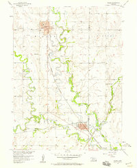
 1965 Adams1966 Print · USGSThe village of Adams and the surrounding Gage County townships are shown here in the mid-1960s during the height of the region's rail-based agricultural economy. Genealogists can trace family roots at Grandview Cemetery or locate one-room schoolhouses like Remmers School and Little John School.2 unique versions available
 - 1965 Map of Crab Orchard, 1966 Print
 1965 Crab Orchard1966 Print · USGSSoutheastern Nebraska agriculture and rural life take center stage in this mid-1960s study of Johnson County. Researchers can trace the development of Crab Orchard along Route 136 or locate family sites near Crab Orchard Cem and Yankee Creek.
 - 1965 Map of Sterling, 1966 Print
 1965 Sterling1966 Print · USGSSoutheast Nebraska's agricultural heartland is documented here in the mid-1960s, centered on the railroad town of Sterling. Researchers can locate historic rural institutions like Hooker Sch and South St Johns Ch among the rolling creek valleys.
 - 1965 Map of Firth, 1966 Print
 1965 Firth1966 Print · USGSSoutheast of Lincoln in the mid-1960s, these rural townships were anchored by the rail lines and rivers that sustained local agriculture. Genealogists can locate several historic burial sites and congregations, including Pella Cem, St Johns Ch, and the settlement of Holland.
 - 1965 Map of Douglas, 1966 Print
 1965 Douglas1966 Print · USGSThe rolling hills of Otoe and Johnson counties appear here in the mid-1960s, centered on the village of Douglas. Researchers can trace the Missouri Pacific railroad line and find family sites like Solon Cem and St Martins Cem.
 - 1965 Map of Lewiston, 1966 Print
 1965 Lewiston1966 Print · USGSThe rolling prairie of southeastern Nebraska is captured here in the mid-1960s, showing the agricultural heart of Gage and Pawnee counties. Researchers can trace family history at Lewiston Cem and Pleasant Hill Ch or follow the paths of the Chicago Rock Island and Pacific railroad.
 - 1965 Map of Liberty, 1968 Print
 1965 Liberty1968 Print · USGSThe Nebraska-Kansas border comes into focus in the mid-1960s, showing the agricultural landscape and rail lines of Gage and Pawnee Counties. Researchers can locate family landmarks like Mission Creek Cem and Liberty Cem or trace the Chicago Burlington and Quincy Railroad.2 unique versions available
 - 1970 Map of Diller NE, 1971 Print
 1970 Diller NE1971 Print · USGSGage County agriculture and rail life are at the forefront of this 1970s survey. Genealogists and historians can trace the Chicago Rock Island and Pacific tracks through Ellis, finding local landmarks like Ellis Cem and Pleasant Hill Cem.2 unique versions available
 - 1970 Map of Wymore, 1972 Print
 1970 Wymore1972 Print · USGSNear the Nebraska-Kansas border in the early seventies, the landscape around Wymore remains defined by the Big Blue River and its rail junctions. Researchers can trace the Old Indian Treaty Boundary and locate family plots at Wymore Cem or St Johns Cem.
 - 1970 Map of Harbine, 1972 Print
 1970 Harbine1972 Print · USGSHarbine and Ellis sit at the Jefferson and Gage County line in the early 1970s as the railroad still defines the rural landscape. Genealogists can trace family names through the Harbine Cemetery, Hope Church, and rural Zion School.
Showing maps 1-25 of 32
Top cities of Gage County
- Beatrice historical maps
- Wymore historical maps
- Cortland historical maps
- Adams historical maps
- Rockford historical maps
- Odell historical maps
See more
Frequently asked questions
- What are the different types of historical maps available for Gage County?
- What is the oldest map of Gage County?
- Where can I purchase historical maps of Gage County for my home or office?
- Where can I download high-res historical maps of Gage County?
- Are there historical topographic maps available for Gage County?
- Is there historical aerial imagery available for Gage County?
- Where are historical maps of Gage County sourced from?