Old Maps of Ashby, Nebraska for Academic Research
Study the evolution of Ashby with 10 high-resolution historic maps. Whether you're teaching, researching, or modeling changes in land use, these maps provide essential visual documentation of urban, environmental, and geographic change.
- Analyze long-term change: Track patterns in development, transportation, and natural features.
- Ideal for environmental or urban studies: Support academic projects with primary historical map data.
- Use in the classroom or lab: Educators and researchers rely on these maps to bring historical context to life.
These maps are a powerful tool for teaching, research, and visualizing how Ashby has changed over the decades.
Ashby, NE maps
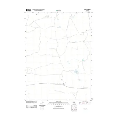
(10)- 1948 Map of Ashby, 1960 Print
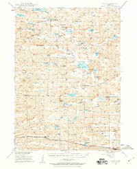 1948 Ashby1960 Print · USGSRanching life in the Nebraska Sandhills is captured here in the late 1940s, highlighting the sprawling cattle operations and alkaline lake systems of the era. Genealogists and historians can trace family holdings like the Egan Ranch or locate the Consolidated Sch and Keller Sch along the Chicago Burlington and Quincy RR.7 unique versions available
 - 1949 Map of Ashby
 1949 Ashby1949 Print · USGSPost-war Nebraska ranching life and the Sandhills topography come alive in this survey of the Cherry and Grant county lines. Trace old homesteads and landmarks like the Diamond Bar Ranch, the Consolidated Sch, and Wolfenberger Lakes along the Chicago Burlington and Quincy line.3 unique versions available
 - 1957 Map of Valentine, 1960 Print
 1957 Valentine1960 Print · USGSNorthern Nebraska's ranching country and the vast Sand Hills are detailed here in the late fifties. Genealogists and historians can locate numerous family-named landmarks like the Dahlgren Ranch and trace the path of the Chicago and North Western railroad through Valentine.3 unique versions available
 - 1959 Map of Valentine
 1959 Valentine1959 Print · USGSThe northern Nebraska Sand Hills are captured here in the late fifties, showcasing a vast ranching landscape shaped by the Niobrara and Loup rivers. Genealogists and historians can trace rail-town development along the Chicago and North Western and locate remote outposts like Brownlee or Kennedy.
 - 1985 Map of Mullen
 1985 Mullen1985 Print · USGSSettlement in the Nebraska Sandhills followed the rail and river corridors during the mid-twentieth century. Trace the Burlington Northern line through Mullen and Hyannis, or locate family-named landmarks like James Valley and Betsy Creek.2 unique versions available
 - 1989 Map of Ashby
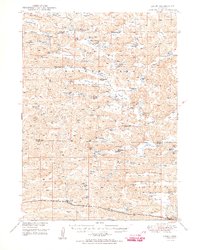
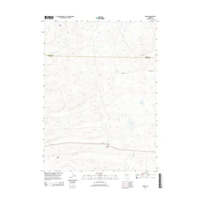
 1989 Ashby1989 Print · USGSThe cattle country of western Nebraska is captured here in the late eighties, centered on the railroad town of Ashby. Local historians and genealogists can trace the footprint of family-run operations like Thurston Ranch and landmarks like Indian Hill.
 - 2011 Map of Ashby, 2011 Print
 2011 Ashby2011 Print · USGSCovers Ashby, including Cherry County, Grant County, and other nearby areas
 - 2014 Map of Ashby, 2014 Print
 2014 Ashby2014 Print · USGSCovers Ashby, including Cherry County, Grant County, and other nearby areas
 - 2017 Map of Ashby, 2017 Print
 2017 Ashby2017 Print · USGSCovers Ashby, including Cherry County, Grant County, and other nearby areas
 - 2021 Map of Ashby, 2021 Print
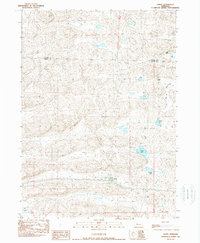
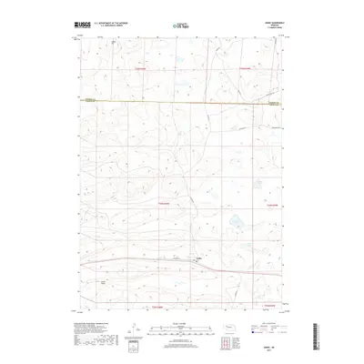
 2021 Ashby2021 Print · USGSAshby and the surrounding Sandhills are captured in this recent survey of the Grant County ranching country. Researchers can trace the layout of Ashby along Railroad Dr and locate water sources like Knox Lake and Hibbler Lake.
End of results
Showing maps 1-10 of 10
Top cities near Ashby
Frequently asked questions
- What are the different types of historical maps available for Ashby?
- What is the oldest map of Ashby?
- Where can I purchase historical maps of Ashby for my home or office?
- Where can I download high-res historical maps of Ashby?
- Are there historical topographic maps available for Ashby?
- Is there historical aerial imagery available for Ashby?
- Where are historical maps of Ashby sourced from?