Old Maps of Grand Island, Nebraska for Metal Detecting
Plan your next treasure hunt with 27 historic maps of Grand Island. Find old homesites, ghost towns, trails, and gathering spots that may be lost to time — perfect for identifying promising metal detecting locations.
- Locate forgotten sites: Uncover places like long-lost settlements, abandoned rail lines, or gathering spots.
- Plan better hunts: Use map overlays combined with LiDAR or satellite views to narrow in on historically rich areas.
- Made for detectorists: Thousands of hobbyists use these maps to discover relics, coins, and hidden history.
Use these historic maps to boost your research and find new opportunities beneath the surface of Grand Island.
Grand Island, NE maps
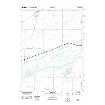
(27)- 1892 Map of Grand Island
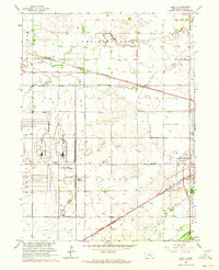
 1892 Grand Island1892 Print · USGSGrand Island and the surrounding Hall County prairies are captured in the late nineteenth century as a vital rail junction. Genealogists and historians can trace early track layouts of the Union Pacific R. R. and locate old settlements like Alda and Doniphan.
 - 1895 Map of Grand Island
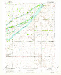
 1895 Grand Island1895 Print · USGSGrand Island emerged as a vital rail crossroads in central Nebraska during the late nineteenth century. Genealogists and historians can trace the early development of the city grid and surrounding settlements like Alda and Doniphan, or locate crossings such as the Island Bridge.
 - 1898 Map of Grand Island
 1898 Grand Island1898 Print · USGSCentral Nebraska is captured in the late 1890s as a bustling rail and agricultural crossroads centered on the Platte River. Genealogists and historians can trace early settlements like Doniphan and Harvard or the grounds of the Insane Asylum outside Hastings.4 unique versions available
 - 1955 Map of Grand Island, 1967 Print
 1955 Grand Island1967 Print · USGSCentral Nebraska is seen here during a period of industrial and agricultural growth, centered on the vital Platte River corridor. Researchers can trace the mid-century footprints of the U S Naval Ammunition Depot and the Cornhusker Ordnance Plant.3 unique versions available
 - 1957 Map of Grand Island
 1957 Grand Island1957 Print · USGSCentral Nebraska and Northern Kansas are shown here during a period of massive hydraulic and military expansion in the mid-fifties. Researchers can trace the development of the Harlan County Reservoir and the massive wartime legacy of the Cornhusker Ordnance Plant.
 - 1958 Map of Grand Island
 1958 Grand Island1958 Print · USGSSouth-central Nebraska thrived as a rail and industrial hub during the late fifties, shaped by the braided Platte River. Genealogists and historians can trace rail lines like the Union Pacific RR through towns such as Kearney or locate the sprawling Cornhusker Ordnance Plant.
 - 1962 Map of Abbott, 1964 Print
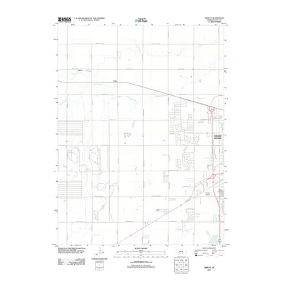
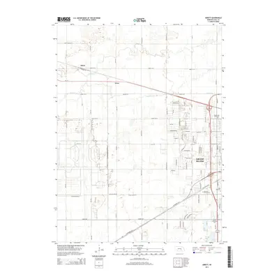
 1962 Abbott1964 Print · USGSHall County’s landscape in the early sixties is defined by the massive Corn Husker Ordnance Plant and the steady expansion of Grand Island. Genealogists can locate family landmarks like Engleman Sch or the Soldiers and Sailors Cem near the rail lines.4 unique versions available
 - 1962 Map of Doniphan, 1964 Print
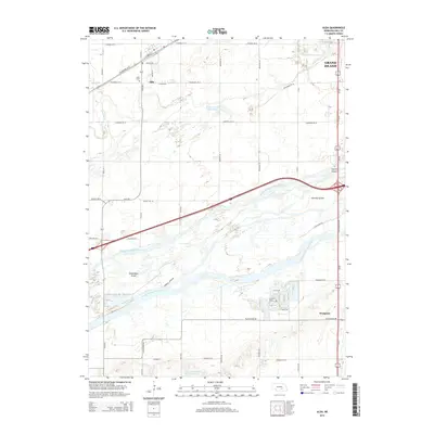
 1962 Doniphan1964 Print · USGSDoniphan and the Platte River valley are captured here in the early sixties, showing a landscape defined by braided river channels and rural townships. Genealogists can locate family-named precincts and community landmarks like Cedarview Cem, School No 19, and the riverside Camp Augustine.3 unique versions available
 - 1962 Map of Grand Island, 1964 Print
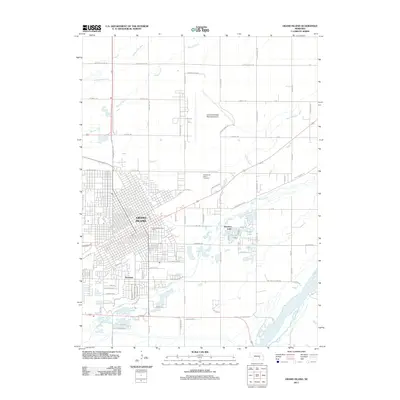
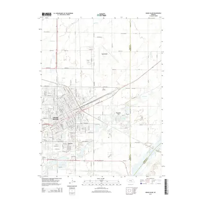
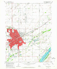 1962 Grand Island1964 Print · USGSGrand Island thrived as a major Nebraska rail hub in the early sixties, where the Union Pacific met the Burlington line. Genealogists and historians can locate dozens of neighborhood landmarks, from the East Grand Island Cem to Central High Sch and the Soldiers and Sailors Home.4 unique versions available
 - 1962 Map of Alda, 1964 Print
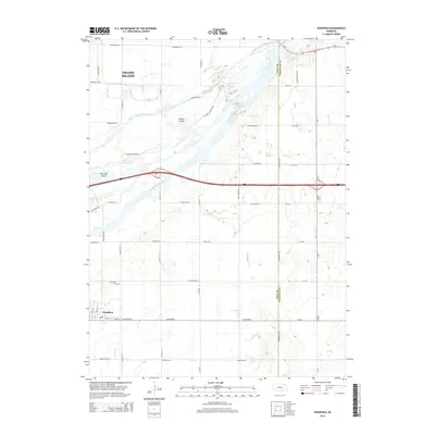
 1962 Alda1964 Print · USGSThe braided channels of the Platte River valley define this Nebraska landscape in the early sixties as the modern interstate begins to cross the plains. Genealogists and local historians can trace the foundations of the community at Alda, the Alda Cem, and the rural Valley View Sch.3 unique versions available
 - 1985 Map of Grand Island
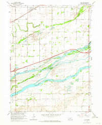
 1985 Grand Island1985 Print · USGSThe Platte River valley in the mid-eighties shows a landscape of braided river channels and massive military-industrial sites. Trace the layout of the Cornhusker Ordnance Plant and find family landmarks like Parkview Cem or Good Samaritan Village.2 unique versions available
 - 2011 Map of Alda, 2011 Print
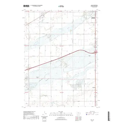
 2011 Alda2011 Print · USGSCovers Grand Island, including Doniphan, Alda, and other nearby areas
 - 2011 Map of Abbott, 2011 Print
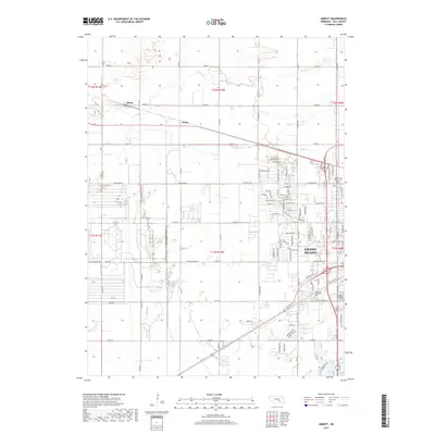
 2011 Abbott2011 Print · USGSCovers Grand Island, including Ovina, West Park Plaza Mobile Home Park, and other nearby areas
 - 2011 Map of Grand Island, 2011 Print
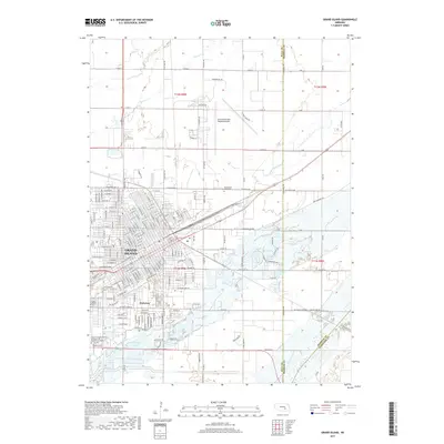
 2011 Grand Island2011 Print · USGSCovers Grand Island, including Kuesters Lake, Kingwood Estates, and other nearby areas
 - 2011 Map of Doniphan, 2011 Print
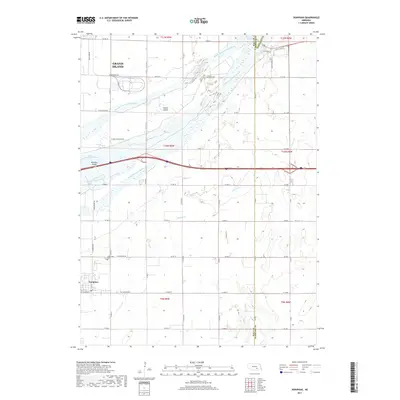
 2011 Doniphan2011 Print · USGSCovers Grand Island, including Doniphan, Hall County, and other nearby areas
 - 2014 Map of Doniphan, 2014 Print
 2014 Doniphan2014 Print · USGSCovers Grand Island, including Doniphan, Hall County, and other nearby areas
 - 2014 Map of Grand Island, 2014 Print
 2014 Grand Island2014 Print · USGSCovers Grand Island, including Kuesters Lake, Kingwood Estates, and other nearby areas
 - 2014 Map of Alda, 2014 Print
 2014 Alda2014 Print · USGSCovers Grand Island, including Doniphan, Alda, and other nearby areas
 - 2014 Map of Abbott, 2014 Print
 2014 Abbott2014 Print · USGSCovers Grand Island, including Ovina, West Park Plaza Mobile Home Park, and other nearby areas
 - 2017 Map of Abbott, 2017 Print
 2017 Abbott2017 Print · USGSCovers Grand Island, including Ovina, West Park Plaza Mobile Home Park, and other nearby areas
 - 2017 Map of Grand Island, 2017 Print
 2017 Grand Island2017 Print · USGSCovers Grand Island, including Kuesters Lake, Kingwood Estates, and other nearby areas
 - 2017 Map of Doniphan, 2017 Print
 2017 Doniphan2017 Print · USGSCovers Grand Island, including Doniphan, Hall County, and other nearby areas
 - 2017 Map of Alda, 2017 Print
 2017 Alda2017 Print · USGSCovers Grand Island, including Doniphan, Alda, and other nearby areas
 - 2021 Map of Abbott, 2021 Print
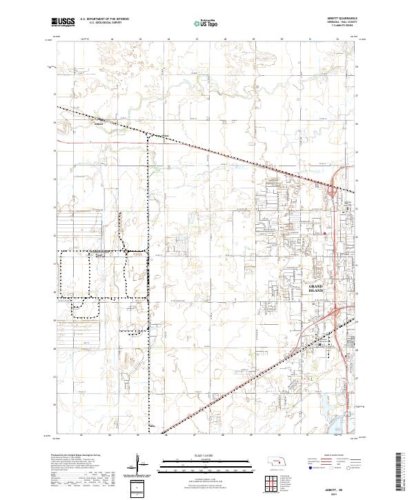 2021 Abbott2021 Print · USGSThe western outskirts of Grand Island and the rural reaches of Hall County are captured here during a period of modern growth. Genealogists can locate family sites near Abbott and Alda or trace local history at the Nebraska Veterans Home Cem and Grand Island Cem.
 - 2021 Map of Grand Island, 2021 Print
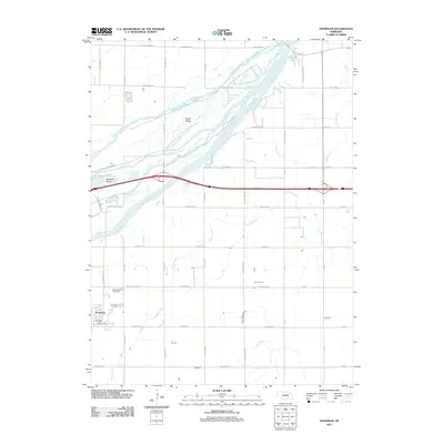
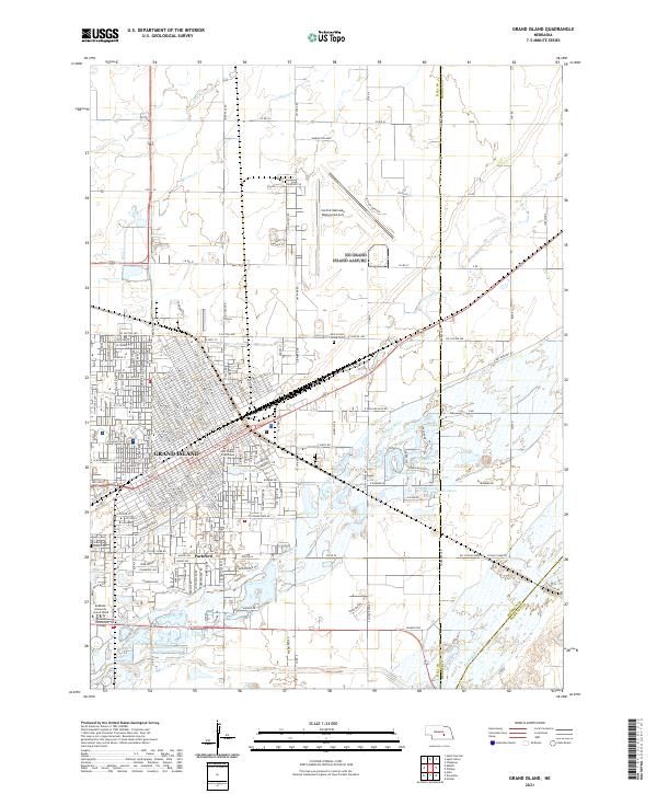 2021 Grand Island2021 Print · USGSGrand Island and its surrounding Hall County townships are captured here at the start of the 2020s, showing a landscape shaped by the Platte River valley. Genealogists and local historians can locate the Hall County Courthouse, trace family plots in the East Grand Island Cem, and explore the newer developments around Parkview.
Showing maps 1-25 of 27
Top cities near Grand Island
- Doniphan historical maps
- Alda historical maps
- Giltner historical maps
- Dannebrog historical maps
- Phillips historical maps
- Chapman historical maps
See more
Top neighborhoods of Grand Island
Frequently asked questions
- What are the different types of historical maps available for Grand Island?
- What is the oldest map of Grand Island?
- Where can I purchase historical maps of Grand Island for my home or office?
- Where can I download high-res historical maps of Grand Island?
- Are there historical topographic maps available for Grand Island?
- Is there historical aerial imagery available for Grand Island?
- Where are historical maps of Grand Island sourced from?