Old Maps of Swan Lake, Nebraska for Hiking & Exploration
Hike through history with 10 historic maps of Swan Lake. Explore old trails, ghost towns, and forgotten backroads — perfect for outdoor adventurers and local explorers.
- Rediscover forgotten places: Map out old mining camps, roads, and footpaths that no longer exist on modern maps.
- Layer with modern tools: Combine with LiDAR or satellite views to plan hikes through historical terrain.
- Made for exploration: Popular among hikers, overlanders, and local history lovers.
Use these maps to find adventure and explore the hidden past of Swan Lake.
Swan Lake, NE maps
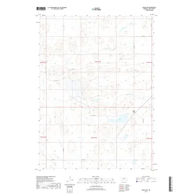
(10)- 1955 Map of O'Neill, 1974 Print
 1955 O'Neill1974 Print · USGSNorth-central Nebraska in the 1950s reveals a vast cattle-ranching landscape transitioning from the Missouri River breaks to the iconic Sand Hills. Researchers can trace the path of the Chicago and North Western rail line and locate rural landmarks like the Dustin Post Office and St Johns Lake Ch.2 unique versions available
 - 1959 Map of O'Neill
 1959 O'Neill1959 Print · USGSNorth-central Nebraska in the late fifties is defined by the vast Sand Hills and the vital Chicago and North Western rail line. Genealogists and researchers can trace family roots through settlements like Atkinson, Bassett, and Stuart or follow the waters of the Niobrara River.2 unique versions available
 - 1969 Map of O'Neill
 1969 O'Neill1969 Print · USGSCentral Nebraska in the mid-fifties is defined here by the expansive Sand Hills and the winding Niobrara River. Trace the Chicago and North Western rail line through cattle towns like O'Neill and Ainsworth.
 - 1981 Map of Swan Lake
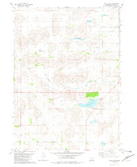 1981 Swan Lake1981 Print · USGSHolt County's sandhills and prairie lakes are captured in the early eighties as a landscape of wide-open ranching country. Researchers can trace the rural infrastructure of the day, from the Swan Lake Sch to the waters of Maurice Lakebed and the South Fork Elkhorn River.
 - 1985 Map of Rose
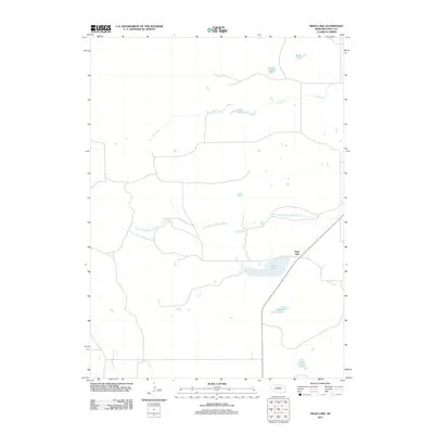
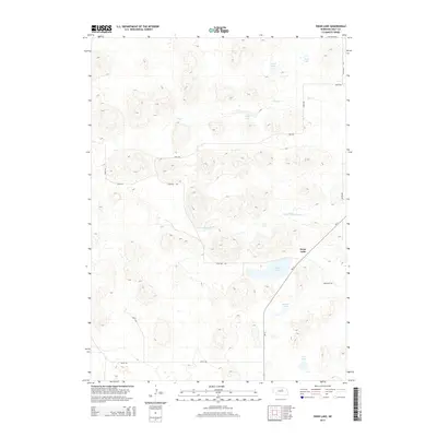
 1985 Rose1985 Print · USGSNorth Central Nebraska in the mid-eighties shows a sprawling landscape of Sandhills lakes and remote ranching outposts. Genealogists and researchers can trace the rural crossroads of Rose, Duff, and Raven or locate landmarks along the Calamus River and Gracie Flats.2 unique versions available
 - 1989 Map of O'Neill
 1989 O'Neill1989 Print · USGSThe Nebraska-South Dakota borderlands are captured here in the late eighties, documenting the ranching and rail infrastructure of the High Plains. Genealogists and collectors can trace historic prairie towns like Monowi, Pishelville, and Santee along the Niobrara River.
 - 2011 Map of Swan Lake, 2011 Print
 2011 Swan Lake2011 Print · USGSCovers Swan Lake, including Holt County, United States, and other nearby areas
 - 2014 Map of Swan Lake, 2014 Print
 2014 Swan Lake2014 Print · USGSCovers Swan Lake, including Holt County, United States, and other nearby areas
 - 2017 Map of Swan Lake, 2017 Print
 2017 Swan Lake2017 Print · USGSCovers Swan Lake, including Holt County, United States, and other nearby areas
 - 2021 Map of Swan Lake, 2021 Print
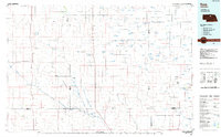
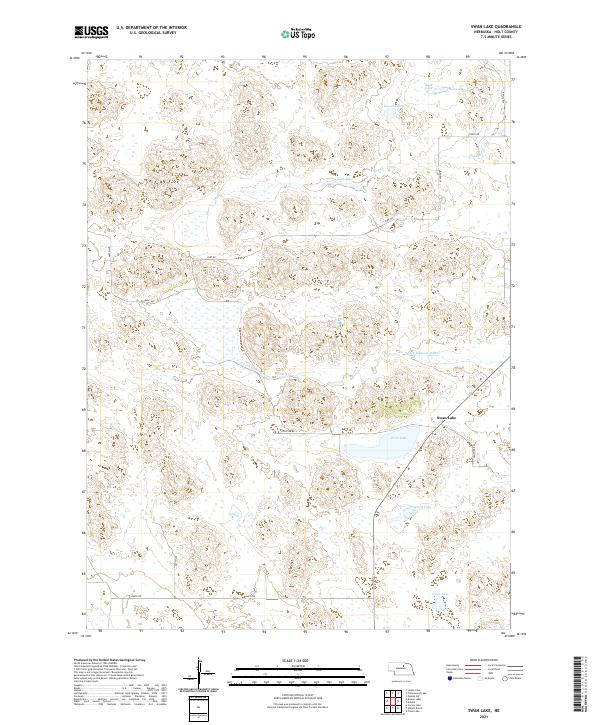 2021 Swan Lake2021 Print · USGSHolt County's interior is captured here in the early 2020s, showing a landscape defined by the S Fork Elkhorn River and numerous local basins. Researchers can trace the rural road network along Frontier Rd or explore the drainage patterns of Swan Lake and Rush Lake.
End of results
Showing maps 1-10 of 10
Frequently asked questions
- What are the different types of historical maps available for Swan Lake?
- What is the oldest map of Swan Lake?
- Where can I purchase historical maps of Swan Lake for my home or office?
- Where can I download high-res historical maps of Swan Lake?
- Are there historical topographic maps available for Swan Lake?
- Is there historical aerial imagery available for Swan Lake?
- Where are historical maps of Swan Lake sourced from?