Old Maps of Heartwell, Nebraska for Metal Detecting
Plan your next treasure hunt with 11 historic maps of Heartwell. Find old homesites, ghost towns, trails, and gathering spots that may be lost to time — perfect for identifying promising metal detecting locations.
- Locate forgotten sites: Uncover places like long-lost settlements, abandoned rail lines, or gathering spots.
- Plan better hunts: Use map overlays combined with LiDAR or satellite views to narrow in on historically rich areas.
- Made for detectorists: Thousands of hobbyists use these maps to discover relics, coins, and hidden history.
Use these historic maps to boost your research and find new opportunities beneath the surface of Heartwell.
Heartwell, NE maps
(11)- 1894 Map of Minden
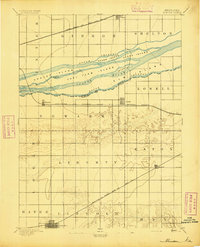 1894 Minden1894 Print · USGSCentral Nebraska at the close of the nineteenth century reveals a landscape shaped by the Platte River and its rail lines. Trace family roots in Minden or explore the river islands like Drover Island and Fort Farm Island.2 unique versions available
 - 1896 Map of Wood River
 1896 Wood River1896 Print · USGSCentral Nebraska at the close of the nineteenth century is defined by its massive river islands and burgeoning rail towns. Local historians can trace early prairie commerce through the rail lines connecting Wood River, Shelton, and the distinctive Sugar Bowl terrain.4 unique versions available
 - 1955 Map of Grand Island, 1967 Print
 1955 Grand Island1967 Print · USGSCentral Nebraska is seen here during a period of industrial and agricultural growth, centered on the vital Platte River corridor. Researchers can trace the mid-century footprints of the U S Naval Ammunition Depot and the Cornhusker Ordnance Plant.3 unique versions available
 - 1957 Map of Grand Island
 1957 Grand Island1957 Print · USGSCentral Nebraska and Northern Kansas are shown here during a period of massive hydraulic and military expansion in the mid-fifties. Researchers can trace the development of the Harlan County Reservoir and the massive wartime legacy of the Cornhusker Ordnance Plant.
 - 1958 Map of Grand Island
 1958 Grand Island1958 Print · USGSSouth-central Nebraska thrived as a rail and industrial hub during the late fifties, shaped by the braided Platte River. Genealogists and historians can trace rail lines like the Union Pacific RR through towns such as Kearney or locate the sprawling Cornhusker Ordnance Plant.
 - 1969 Map of Heartwell, 1971 Print
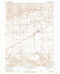 1969 Heartwell1971 Print · USGSNear the close of the sixties, this Kearney County landscape shows a thriving agricultural hub centered on Heartwell and the Burlington Northern rail line. Researchers can trace family roots at Holy Family Cem or investigate the remnants of the Adams County Canal (Abandoned).
 - 1985 Map of Grand Island
 1985 Grand Island1985 Print · USGSThe Platte River valley in the mid-eighties shows a landscape of braided river channels and massive military-industrial sites. Trace the layout of the Cornhusker Ordnance Plant and find family landmarks like Parkview Cem or Good Samaritan Village.2 unique versions available
 - 2011 Map of Heartwell, 2011 Print
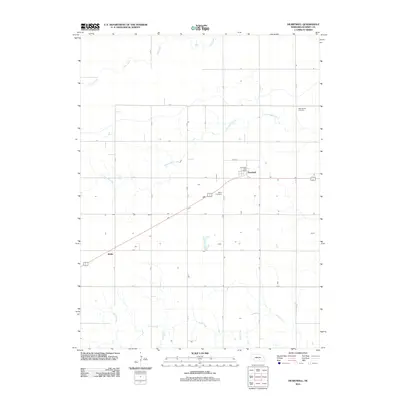 2011 Heartwell2011 Print · USGSCovers Heartwell, including Koller, Kearney County, and other nearby areas
 - 2014 Map of Heartwell, 2014 Print
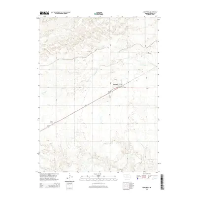 2014 Heartwell2014 Print · USGSCovers Heartwell, including Koller, Kearney County, and other nearby areas
 - 2017 Map of Heartwell, 2017 Print
 2017 Heartwell2017 Print · USGSCovers Heartwell, including Koller, Kearney County, and other nearby areas
 - 2021 Map of Heartwell, 2021 Print
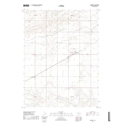
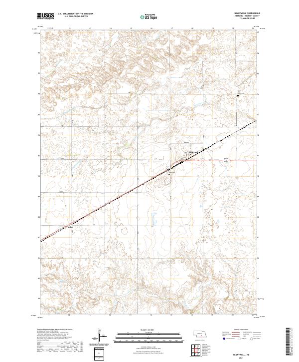 2021 Heartwell2021 Print · USGSKearney County settlement and agricultural life are preserved here in the early twenty-first century. Family researchers can locate the Holy Family Cem and Eaton Cem, while tracing the layout of Heartwell and the rail siding at Koller.
End of results
Showing maps 1-11 of 11
Top cities near Heartwell
- Minden historical maps
- Gibbon historical maps
- Shelton historical maps
- Kenesaw historical maps
- Roseland historical maps
- Holstein historical maps
See more
Frequently asked questions
- What are the different types of historical maps available for Heartwell?
- What is the oldest map of Heartwell?
- Where can I purchase historical maps of Heartwell for my home or office?
- Where can I download high-res historical maps of Heartwell?
- Are there historical topographic maps available for Heartwell?
- Is there historical aerial imagery available for Heartwell?
- Where are historical maps of Heartwell sourced from?