Old Maps of Lemoyne, Nebraska for Genealogy
Trace your family roots with 12 historic maps of Lemoyne. These high-res maps reveal old neighborhoods, homesites, landmarks, and streets — helping you uncover where your ancestors lived and how the area evolved over time.
- Explore historic neighborhoods: Identify where your relatives may have lived in the 1800s or 1900s.
- Compare maps over time: Trace the changes in streets, buildings, and landmarks for multi-generational research.
- Perfect for genealogy & ancestry research: Used by family historians and researchers to map out lineage and migration.
These maps are an incredible resource for exploring your personal connection to Lemoyne's past.
Lemoyne, NE maps
(12)- 1897 Map of Ogallala, 1957 Print
 1897 Ogallala1957 Print · USGSWestern Nebraska at the end of the nineteenth century was a corridor of pioneer transit and emerging ranch life. Genealogists and historians can trace the Old California Trail, the Union Pacific rail line, and numerous family homesteads like Kingsley's Ranch.
 - 1900 Map of Ogallala
 1900 Ogallala1900 Print · USGSThe Platte River valley in the late 1890s shows the crucial intersection of the Union Pacific R. R. and the historic Old California Trail. Researchers can trace early irrigation canals and family-owned landmarks like Fairchild's Ranch and California Hill.6 unique versions available
 - 1954 Map of North Platte, 1968 Print
 1954 North Platte1968 Print · USGSThe Nebraska Sand Hills and the Platte River valley are captured here during a period of mid-century growth and agricultural expansion. Trace the vast irrigation network of the Sutherland Canal, locate old rural schoolhouses like Rose Hill School, and find family holdings such as Conrey Ranch.3 unique versions available
 - 1956 Map of North Platte
 1956 North Platte1956 Print · USGSThe Nebraska Sand Hills meet the high plains river valleys in the mid-1950s, a period of intensive water management and rail commerce. Genealogists and historians can trace early prairie settlements like Stapleton and Tryon, or follow the industrial corridor of the Union Pacific through North Platte.
 - 1957 Map of North Platte
 1957 North Platte1957 Print · USGSThe Nebraska Sand Hills and the Platte River valley are captured here in the mid-fifties as the ranching and irrigation economy matured. Genealogists and historians can locate family-named schoolhouses like Maire School or trace the railroad hubs at North Platte and the Fort McPherson National Cemetery.
 - 1967 Map of North Platte
 1967 North Platte1967 Print · USGSThe Nebraska Sand Hills and the Platte River valley meet in the 1960s, showing a landscape shaped by water management and rail. Genealogists can trace rural school districts like the Prairie Dell School or find landmarks like the Scott Lookout Tower and Geo P Kingsley Dam.
 - 1971 Map of Lemoyne, 1974 Print
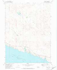 1971 Lemoyne1974 Print · USGSCoastal Keith County during the early 1970s shows a landscape shaped by the rising waters and the railroad. Genealogists and historians can trace ranching lineages through Berry Ranch and Baumann Ranch or explore the shoreline of Lake Mc Conaughy and the village of Lemoyne.
 - 1985 Map of Ogallala
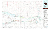 1985 Ogallala1985 Print · USGSThe Platte River valleys in the mid-eighties show a landscape defined by massive water projects and the Union Pacific corridor. Trace the development of Lake Mc Conaughy and irrigation networks near Ogallala, Paxton, and Sutherland.2 unique versions available
 - 2012 Map of Lemoyne, 2012 Print
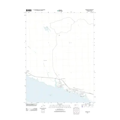 2012 Lemoyne2012 Print · USGSThe northern shore of Nebraska's largest reservoir comes into focus here during the early twenty-first century. Researchers can trace local landmarks like Berry Ranch, the Lemoyne Post Office, and recreational sites such as Admirals Cove Resort.
 - 2014 Map of Lemoyne, 2014 Print
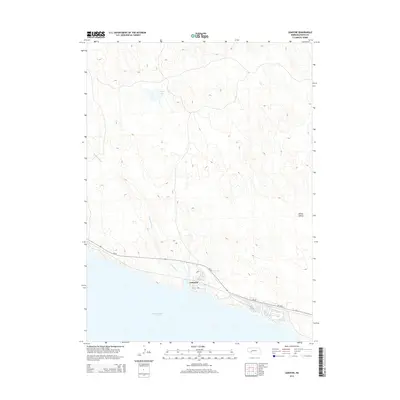 2014 Lemoyne2014 Print · USGSThe northern shores of Nebraska's largest reservoir are captured here during the mid-2010s, showing the intersection of high plains and water. Genealogists and local historians can trace the lakeside development of Lemoyne and the path of Lonergan Creek into McConaughy Lake.
 - 2017 Map of Lemoyne, 2017 Print
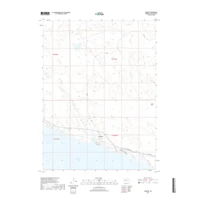 2017 Lemoyne2017 Print · USGSThe north shore of Nebraska's largest reservoir is captured here in the late twenty-teens, centering on the small community of Lemoyne. Local historians can trace the shoreline developments at Sandy Beach or follow the path of Lonergan Creek through the nearby hills.
 - 2021 Map of Lemoyne, 2021 Print
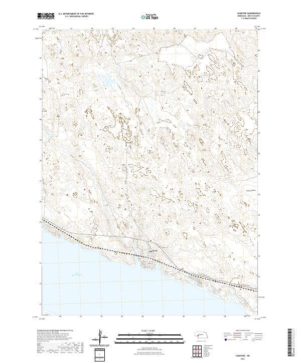 2021 Lemoyne2021 Print · USGSThe northern shore of Keith County’s massive reservoir is captured here as it appeared in 2021. Local historians and property researchers can trace the roads of Lemoyne and the drainage of Lonergan Creek as it reaches Lake McConaughy.
End of results
Showing maps 1-12 of 12
Top cities near Lemoyne
Frequently asked questions
- What are the different types of historical maps available for Lemoyne?
- What is the oldest map of Lemoyne?
- Where can I purchase historical maps of Lemoyne for my home or office?
- Where can I download high-res historical maps of Lemoyne?
- Are there historical topographic maps available for Lemoyne?
- Is there historical aerial imagery available for Lemoyne?
- Where are historical maps of Lemoyne sourced from?