Old Maps of Jelen, Nebraska for Hiking & Exploration
Hike through history with 10 historic maps of Jelen. Explore old trails, ghost towns, and forgotten backroads — perfect for outdoor adventurers and local explorers.
- Rediscover forgotten places: Map out old mining camps, roads, and footpaths that no longer exist on modern maps.
- Layer with modern tools: Combine with LiDAR or satellite views to plan hikes through historical terrain.
- Made for exploration: Popular among hikers, overlanders, and local history lovers.
Use these maps to find adventure and explore the hidden past of Jelen.
Jelen, NE maps
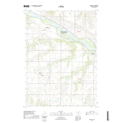
(10)- 1950 Map of Pishelville, 1952 Print
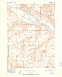 1950 Pishelville1952 Print · USGSKnox County, Nebraska, is seen here in the mid-twentieth century as the Missouri River Basin development program was underway. Local historians can trace the rural infrastructure of the day through several country schools like Stony Butte Sch and settlements including Pishelville and Dukeville.2 unique versions available
 - 1955 Map of O'Neill, 1974 Print
 1955 O'Neill1974 Print · USGSNorth-central Nebraska in the 1950s reveals a vast cattle-ranching landscape transitioning from the Missouri River breaks to the iconic Sand Hills. Researchers can trace the path of the Chicago and North Western rail line and locate rural landmarks like the Dustin Post Office and St Johns Lake Ch.2 unique versions available
 - 1959 Map of O'Neill
 1959 O'Neill1959 Print · USGSNorth-central Nebraska in the late fifties is defined by the vast Sand Hills and the vital Chicago and North Western rail line. Genealogists and researchers can trace family roots through settlements like Atkinson, Bassett, and Stuart or follow the waters of the Niobrara River.2 unique versions available
 - 1969 Map of O'Neill
 1969 O'Neill1969 Print · USGSCentral Nebraska in the mid-fifties is defined here by the expansive Sand Hills and the winding Niobrara River. Trace the Chicago and North Western rail line through cattle towns like O'Neill and Ainsworth.
 - 1986 Map of Atkinson
 1986 Atkinson1986 Print · USGSBoyd and Holt counties come into focus during the mid-eighties as they span the river valleys of the Nebraska and South Dakota border. Genealogists can locate family-named townships and remote outposts like Opportunity, Pishelville, and the Yankton Indian Reservation.2 unique versions available
 - 1989 Map of O'Neill
 1989 O'Neill1989 Print · USGSThe Nebraska-South Dakota borderlands are captured here in the late eighties, documenting the ranching and rail infrastructure of the High Plains. Genealogists and collectors can trace historic prairie towns like Monowi, Pishelville, and Santee along the Niobrara River.
 - 2011 Map of Pishelville, 2011 Print
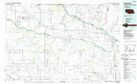
 2011 Pishelville2011 Print · USGSCovers Jelen, including Dukeville, Pishelville, and other nearby areas
 - 2014 Map of Pishelville, 2014 Print
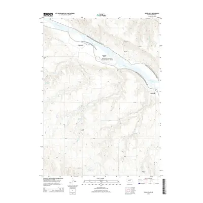 2014 Pishelville2014 Print · USGSCovers Jelen, including Dukeville, Pishelville, and other nearby areas
 - 2017 Map of Pishelville, 2017 Print
 2017 Pishelville2017 Print · USGSCovers Jelen, including Dukeville, Pishelville, and other nearby areas
 - 2021 Map of Pishelville, 2021 Print
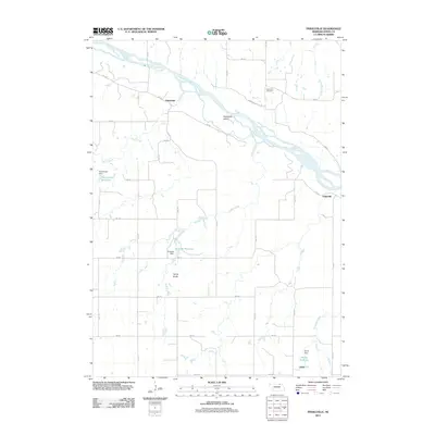
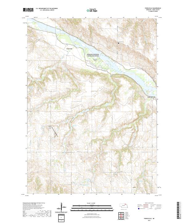 2021 Pishelville2021 Print · USGSKnox County, Nebraska, is captured here in the early 2020s where the Niobrara and Missouri rivers meet. Genealogists and local historians can locate the Riverview Cem and trace small settlements like Pishelville and Dukeville along the river bluffs.
End of results
Showing maps 1-10 of 10
Top cities near Jelen
- Creighton historical maps
- Verdigre historical maps
- Niobrara historical maps
- Sparta historical maps
- Winnetoon historical maps
- Verdel historical maps
See more
Frequently asked questions
- What are the different types of historical maps available for Jelen?
- What is the oldest map of Jelen?
- Where can I purchase historical maps of Jelen for my home or office?
- Where can I download high-res historical maps of Jelen?
- Are there historical topographic maps available for Jelen?
- Is there historical aerial imagery available for Jelen?
- Where are historical maps of Jelen sourced from?