2000s (21st Century) Maps of Bennet, Nebraska
Explore 8 historic maps of Bennet from the 2000s (21st Century). These maps offer a rare glimpse into what life looked like during the 2000s — showing old roads, neighborhoods, homes, and landmarks that have changed or disappeared over time.
Whether you're researching your family's past, planning a metal detecting trip, or studying how Bennet's landscape evolved across the 2000s, these high-resolution maps are a powerful tool for exploring the history of this region.
- Focus on a specific era: All maps on this page are from the 2000s, giving you a focused view of this time period.
- See what’s changed: Compare century-old streets, trails, and buildings to today's modern landscape using overlays and satellite layers.
- Research with precision: Use these maps for genealogy, historical research, land use analysis, or educational projects.
- View, download, or print: Maps are fully viewable online in high resolution, and can be downloaded or printed for your own records.
Start exploring Bennet's history through authentic maps from the 2000s. This is your window into the past.
Bennet, NE maps
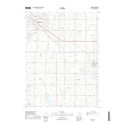
(8)- 2011 Map of Bennet, 2011 Print
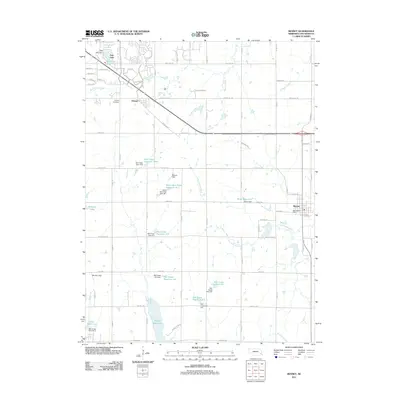 2011 Bennet2011 Print · USGSCovers Bennet, including Lincoln, Hickman, and other nearby areas
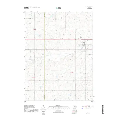
 - 2011 Map of Palmyra, 2011 Print
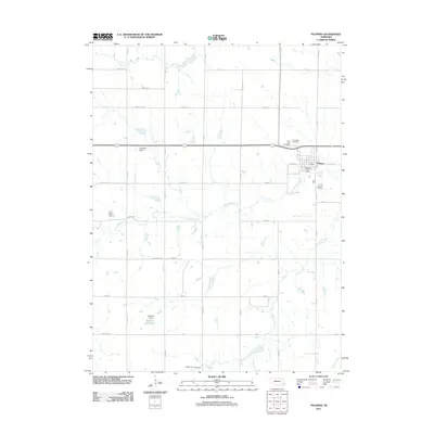 2011 Palmyra2011 Print · USGSCovers Bennet, including Palmyra, Lancaster County, and other nearby areas
 - 2014 Map of Palmyra, 2014 Print
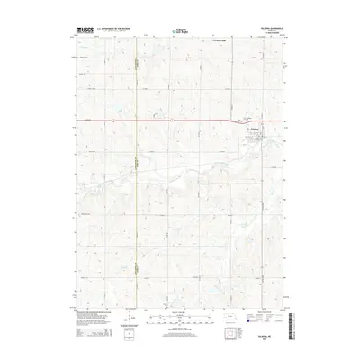 2014 Palmyra2014 Print · USGSCovers Bennet, including Palmyra, Lancaster County, and other nearby areas
 - 2014 Map of Bennet, 2014 Print
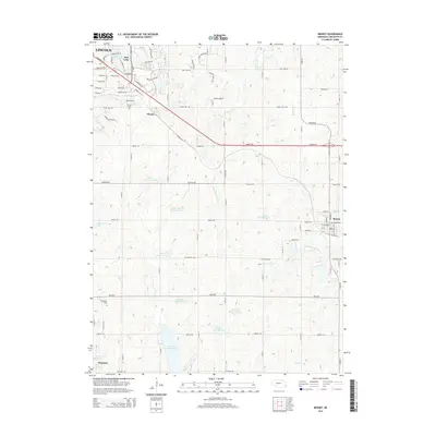 2014 Bennet2014 Print · USGSCovers Bennet, including Lincoln, Hickman, and other nearby areas
 - 2017 Map of Palmyra, 2017 Print
 2017 Palmyra2017 Print · USGSCovers Bennet, including Palmyra, Lancaster County, and other nearby areas
 - 2017 Map of Bennet, 2017 Print
 2017 Bennet2017 Print · USGSCovers Bennet, including Lincoln, Hickman, and other nearby areas
 - 2021 Map of Bennet, 2021 Print
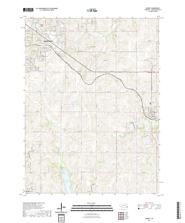 2021 Bennet2021 Print · USGSSoutheast of Lincoln in the early 2020s, this area showcases the intersection of expanding suburban streets and traditional Nebraska farmland. Genealogists and local historians can trace the vicinity of Bennet, the Cheney Cem, and recreational sites like Wagon Train Lake.
 - 2021 Map of Palmyra, 2021 Print
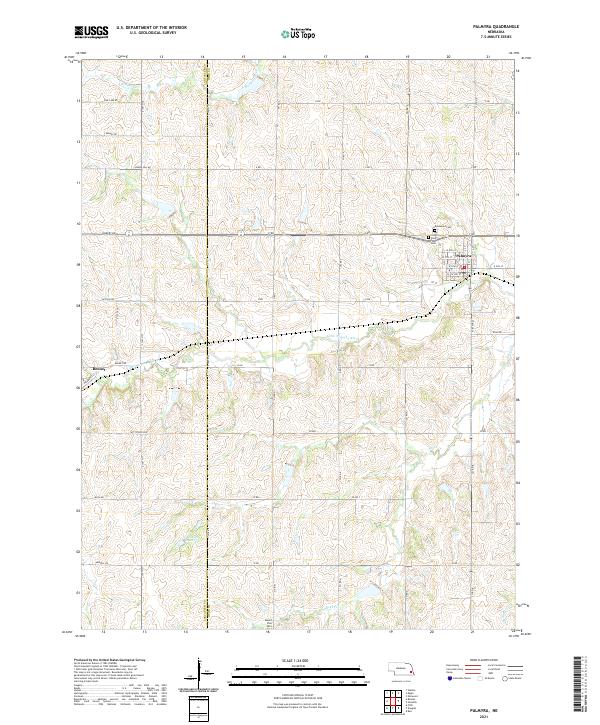 2021 Palmyra2021 Print · USGSThe rural border of Lancaster and Otoe Counties comes into focus in this recent survey of the Nebraska plains. Family historians can locate several burial grounds including Rosewood Cemetery and Mount Zion Cemetery near the banks of the Little Nemaha River.
End of results
Showing maps 1-8 of 8
Top cities near Bennet
- Lincoln historical maps
- Waverly historical maps
- Hickman historical maps
- Eagle historical maps
- Elmwood historical maps
- Firth historical maps
See more
Frequently asked questions
- What are the different types of historical maps available for Bennet?
- What is the oldest map of Bennet?
- Where can I purchase historical maps of Bennet for my home or office?
- Where can I download high-res historical maps of Bennet?
- Are there historical topographic maps available for Bennet?
- Is there historical aerial imagery available for Bennet?
- Where are historical maps of Bennet sourced from?