Old Maps of Four Stones, Lancaster County for Genealogy
Trace your family roots with 15 historic maps of Four Stones. These high-res maps reveal old neighborhoods, homesites, landmarks, and streets — helping you uncover where your ancestors lived and how the area evolved over time.
- Explore historic neighborhoods: Identify where your relatives may have lived in the 1800s or 1900s.
- Compare maps over time: Trace the changes in streets, buildings, and landmarks for multi-generational research.
- Perfect for genealogy & ancestry research: Used by family historians and researchers to map out lineage and migration.
These maps are an incredible resource for exploring your personal connection to Four Stones's past.
Four Stones, Lancaster County maps
(15)- 1897 Map of Lincoln
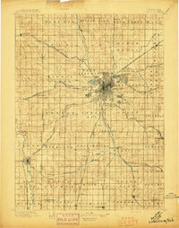 1897 Lincoln1897 Print · USGSLate-Victorian Nebraska comes into focus here as a bustling hub of steam and steel, centered on the capital. You can trace the early layouts of University Place and Bethany or locate rural landmarks like the Asylum, Lincoln Salt Lake, and the rail stop at Prairie Home.4 unique versions available
 - 1955 Map of Lincoln, 1967 Print
 1955 Lincoln1967 Print · USGSSoutheast Nebraska in the mid-fifties presents a landscape of thriving railroad towns and the expanding footprint of the capital city. Researchers can trace the legacy of the pioneer era at the Homestead National Monument of America or locate mid-century military infrastructure like Lincoln Air Force Base.5 unique versions available
 - 1957 Map of Lincoln
 1957 Lincoln1957 Print · USGSSoutheastern Nebraska at mid-century shows a landscape of thriving rail towns and expanding infrastructure centered on Lincoln. Researchers can trace the path of the Chicago Burlington and Quincy railroad through communities like Weeping Water, Fairmont, and Seward.
 - 1958 Map of Lincoln
 1958 Lincoln1958 Print · USGSSoutheast Nebraska at the end of the 1950s shows a region defined by agricultural trade and the expansion of the state capital. Genealogists can trace family footprints across the Blue Valley and locate landmarks like the Lincoln AFB or the U.S. Veterans Hospital.
 - 1964 Map of Cortland, 1965 Print
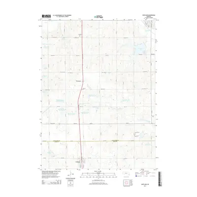
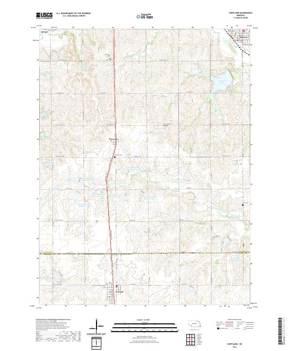
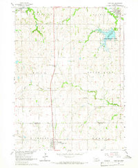 1964 Cortland1965 Print · USGSSoutheast Nebraska farmland is captured here in the mid-sixties, centered on the Union Pacific rail corridor between Hickman and Cortland. Genealogists and local historians can locate early landmarks like Stockfeldt Cem, Good Hope Sch, and the Stagecoach Lake recreation area.2 unique versions available
 - 1964 Map of Hallam, 1965 Print
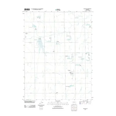
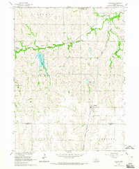 1964 Hallam1965 Print · USGSSoutheastern Nebraska is captured in the mid-sixties as utility and recreation developments reshaped the rural landscape. Researchers can locate several historic burial grounds like Kramer Community Cem and schoolhouses such as School No 11 along the Rock Island line.
 - 1986 Map of Lincoln
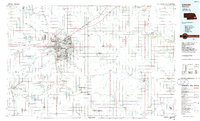 1986 Lincoln1986 Print · USGSMid-century development and the rail-and-river economy of southeastern Nebraska are clear in this 1980s survey. Researchers can trace the sprawling rail networks of the Burlington Northern and locate historic sites like Union College and the State Capitol.2 unique versions available
 - 2011 Map of Hallam, 2011 Print
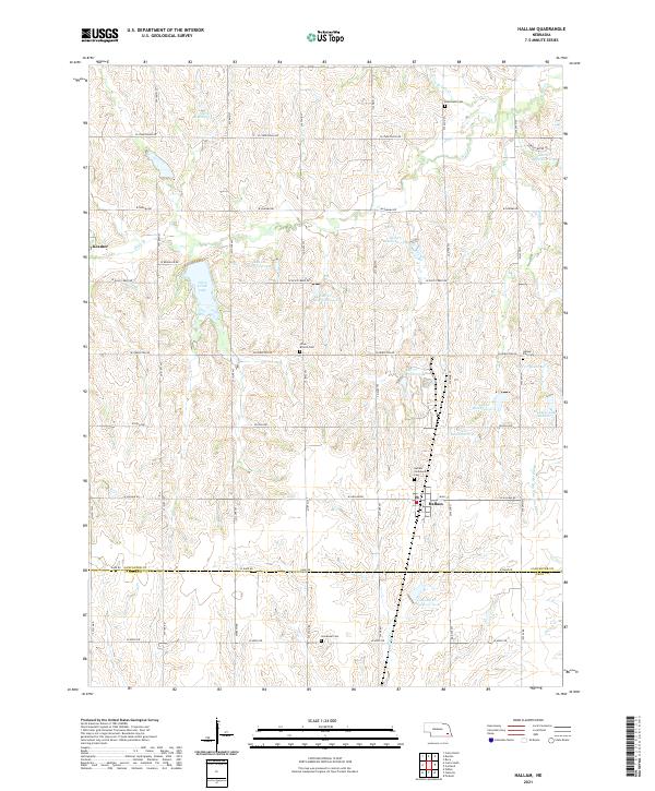
 2011 Hallam2011 Print · USGSCovers Four Stones, including Hallam, Lancaster County, and other nearby areas
 - 2011 Map of Cortland, 2011 Print
 2011 Cortland2011 Print · USGSCovers Four Stones, including Hickman, Cortland, and other nearby areas
 - 2014 Map of Hallam, 2014 Print
 2014 Hallam2014 Print · USGSCovers Four Stones, including Hallam, Lancaster County, and other nearby areas
 - 2014 Map of Cortland, 2014 Print
 2014 Cortland2014 Print · USGSCovers Four Stones, including Hickman, Cortland, and other nearby areas
 - 2017 Map of Cortland, 2017 Print
 2017 Cortland2017 Print · USGSCovers Four Stones, including Hickman, Cortland, and other nearby areas
 - 2017 Map of Hallam, 2017 Print
 2017 Hallam2017 Print · USGSCovers Four Stones, including Hallam, Lancaster County, and other nearby areas
 - 2021 Map of Hallam, 2021 Print
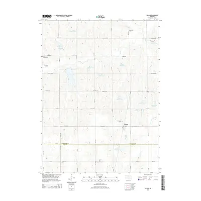
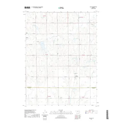
 2021 Hallam2021 Print · USGSSoutheast Nebraska’s agricultural heartland is captured here in the early 2020s, centered on the village of Hallam. Genealogists and local historians can trace family roots at Olive Branch Cem, Hallam Zion Cem, and the quiet settlement of Kramer.
 - 2021 Map of Cortland, 2021 Print
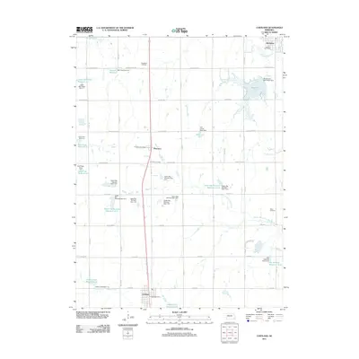
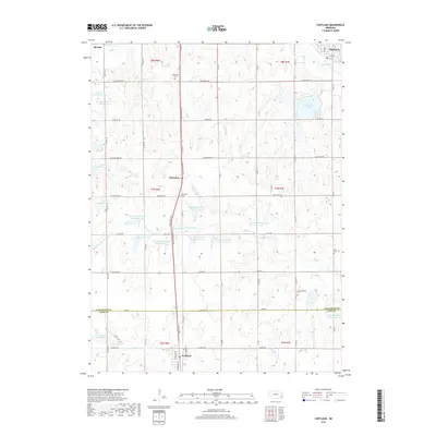
 2021 Cortland2021 Print · USGSThe rural border of Lancaster and Gage Counties comes into focus in the early 2020s, centered on the growing corridor between Cortland and Hickman. Researchers can trace family history at Stockfeldt Cem or explore the extensive reservoir system including Stagecoach Lake and Salt Cr Reservoir 5-9.
End of results
Showing maps 1-15 of 15
Frequently asked questions
- What are the different types of historical maps available for Four Stones?
- What is the oldest map of Four Stones?
- Where can I purchase historical maps of Four Stones for my home or office?
- Where can I download high-res historical maps of Four Stones?
- Are there historical topographic maps available for Four Stones?
- Is there historical aerial imagery available for Four Stones?
- Where are historical maps of Four Stones sourced from?