2020s Maps of Loup County, Nebraska
Explore 20 historic maps of Loup County from the 2020s. These maps offer a rare glimpse into what life looked like during the 2020s — showing old roads, neighborhoods, homes, and landmarks that have changed or disappeared over time.
Whether you're researching your family's past, planning a metal detecting trip, or studying how Loup County's landscape evolved across the 2020s, these high-resolution maps are a powerful tool for exploring the history of this region.
- Focus on a specific era: All maps on this page are from the 2020s, giving you a focused view of this time period.
- See what’s changed: Compare century-old streets, trails, and buildings to today's modern landscape using overlays and satellite layers.
- Research with precision: Use these maps for genealogy, historical research, land use analysis, or educational projects.
- View, download, or print: Maps are fully viewable online in high resolution, and can be downloaded or printed for your own records.
Start exploring Loup County's history through authentic maps from the 2020s. This is your window into the past.
Loup County, NE maps
(20)- 2021 Map of Walworth, 2021 Print
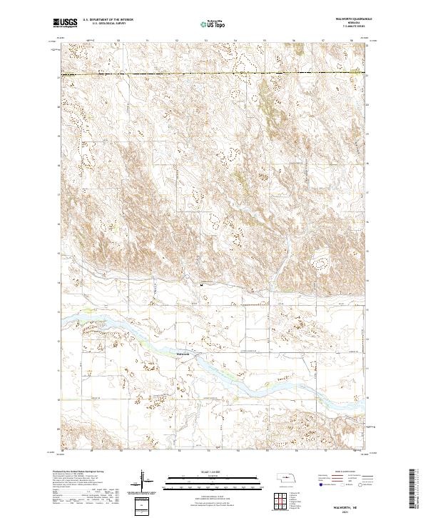 2021 Walworth2021 Print · USGSCuster County ranching country and the Middle Loup River valley are captured in this recent survey. Researchers can locate the Predmore Cem and trace the routes of Justawee Rd and Victoria Springs Rd through the canyons.
 - 2021 Map of Comstock NW, 2021 Print
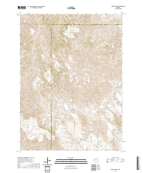 2021 Comstock NW2021 Print · USGSThe rural intersection of four Nebraska counties is captured in this recent survey of the central plains landscape. Genealogists and local historians can locate the Bohemian Brotherhood Cem and trace seasonal watercourses like Sioux Cr and N Br Turtle Cr.
 - 2021 Map of Taylor NE, 2021 Print
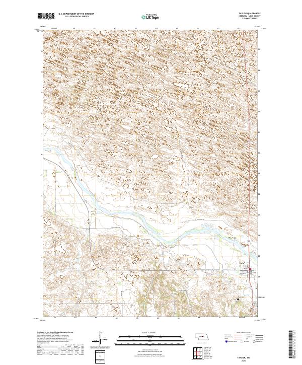
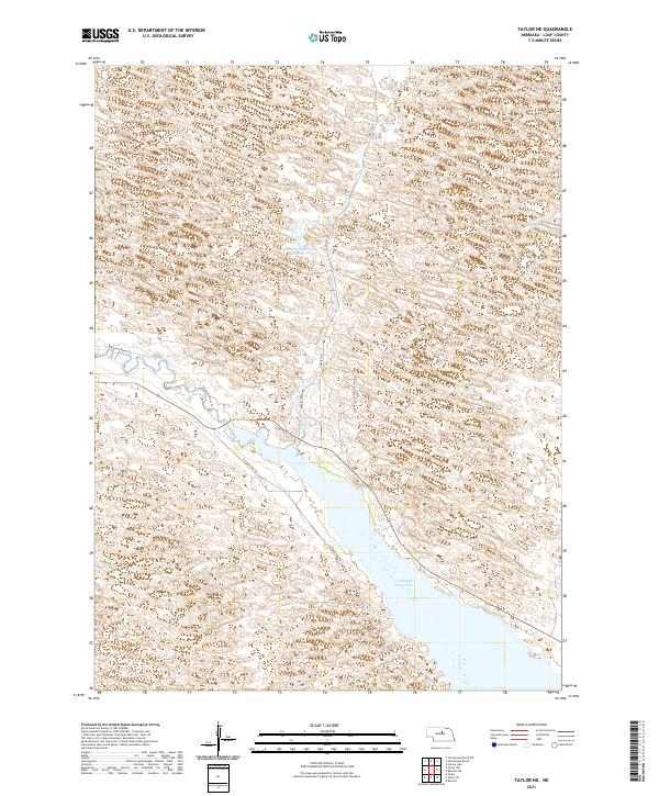 2021 Taylor NE2021 Print · USGSThe Nebraska sandhills of Loup County come into focus in this recent survey of the Calamus River valley. Researchers can trace the shoreline of Calamus Reservoir and locate family landmarks like Stonehouse Ranch and Bald Lake.
 - 2021 Map of Almeria, 2021 Print
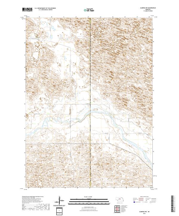
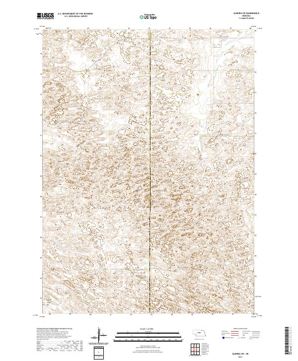
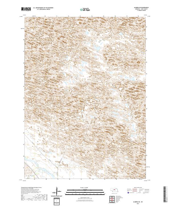
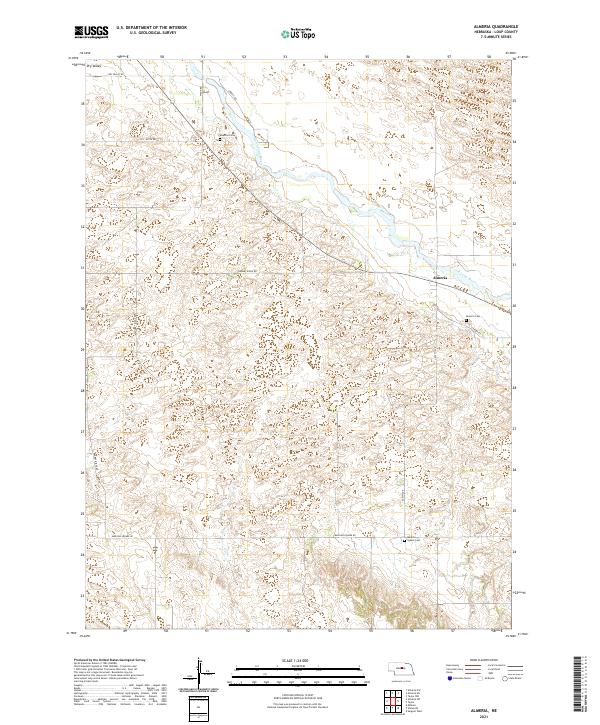 2021 Almeria2021 Print · USGSLoup County’s rural character is preserved in the early 2020s as the North Loup River flows past the small community of Almeria. Genealogists can trace local roots at Almeria Cem, Moulton Cem, and Madison Square Cem while following routes like Knobby Ridge Rd.
 - 2021 Map of Burwell, 2021 Print
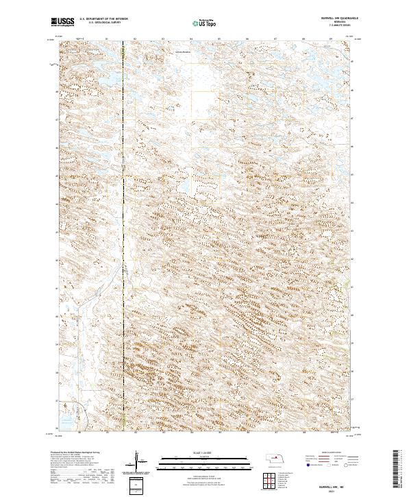
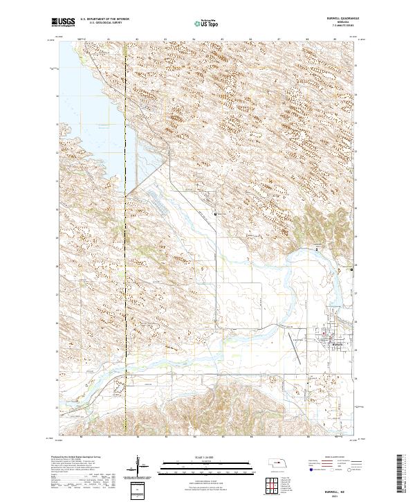 2021 Burwell2021 Print · USGSThe Garfield County seat thrives alongside the North Loup River during this recent survey of Nebraska's Sandhills edge. Genealogists and local historians can trace rural burial sites like Banner Cem or locate the Garfield County Courthouse and Cram Field in town.
 - 2021 Map of Taylor NW, 2021 Print
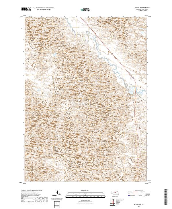 2021 Taylor NW2021 Print · USGSLoup County’s sandhills and river valleys remain largely undeveloped in this modern-era survey of central Nebraska. Genealogists and land researchers can trace the winding Calamus River and local ranch roads like Long Valley Rd and Upstream Rd.
 - 2021 Map of Almeria NW, 2021 Print
 2021 Almeria NW2021 Print · USGSThe North Loup River valley of Central Nebraska is captured here in the early twenty-first century. Researchers can trace rural infrastructure along Pleasant Valley Rd or locate the low-lying Dry Valley near the Blaine and Loup county line.
 - 2021 Map of Taylor SE, 2021 Print
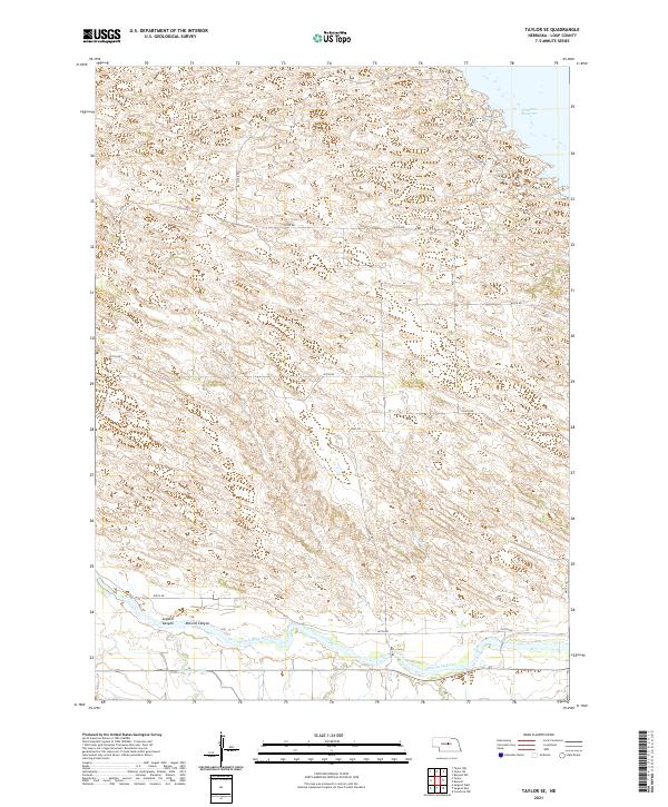 2021 Taylor SE2021 Print · USGSLoup County’s river valley and irrigation networks are shown in detail during the early 2020s. Researchers can trace the path of the North Loup River and Taylor-Ord-Canal or locate landmarks like McCord Canyon and the Calamus Reservoir.
 - 2021 Map of Almeria SW, 2021 Print
 2021 Almeria SW2021 Print · USGSThe Nebraska Sandhills come into focus here in the early 2020s, showing a landscape defined by ranching and remote county borders. Genealogists and land researchers can trace property boundaries along Dry Valley Rd or locate the McMillan Ranch Airport.
 - 2021 Map of Sargent East, 2021 Print
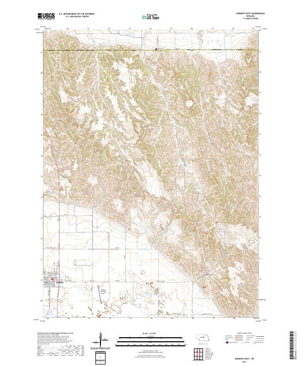 2021 Sargent East2021 Print · USGSSargent and its surrounding canyons are captured here in the early twenty-first century as the town grid meets the rolling Custer County ranchlands. Researchers can locate the Kent Cem, trace the route of the Taylor-Ord Canal, and explore local landmarks like Divide Hill and Bohys Canyon.
 - 2021 Map of Shovel Dot Ranch, 2021 Print
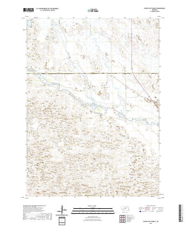 2021 Shovel Dot Ranch2021 Print · USGSThe Loup County Sandhills are documented in this recent survey, showcasing the winding path of the Calamus River. Researchers can trace rural routes and water features like Fox Bayou, Skull Cr, and Shovel Dot Rd.
 - 2021 Map of Boiling Spring, 2021 Print
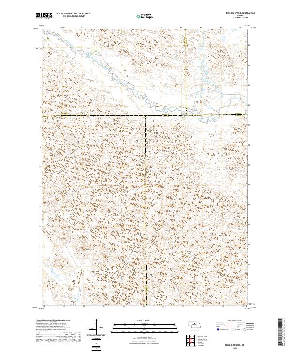 2021 Boiling Spring2021 Print · USGSThe Nebraska Sandhills come into sharp focus in the early 2020s, showing where the borders of Blaine, Brown, Loup, and Rock counties meet. Trace the winding Calamus River past Boiling Spring and follow local routes like 846 Rd.
 - 2021 Map of Stonehouse Ranch, 2021 Print
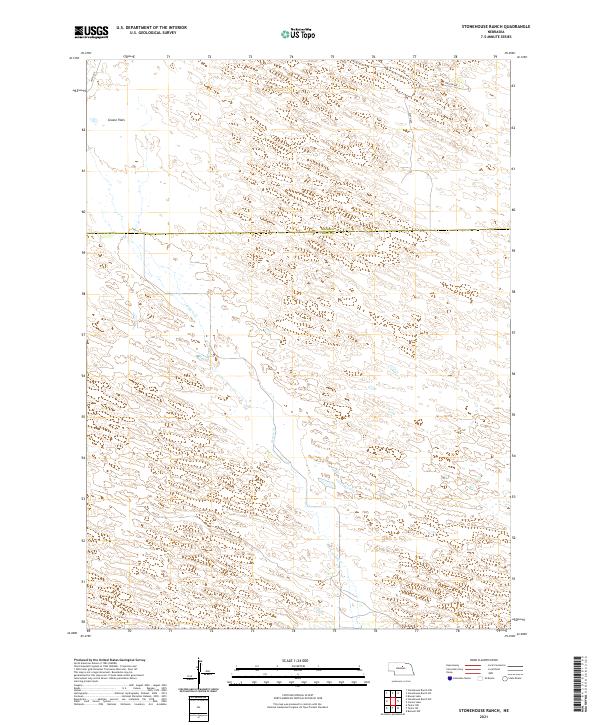 2021 Stonehouse Ranch2021 Print · USGSLoup and Rock Counties appear here in the early twenty-first century, showing the remote ranchlands of the Nebraska Sandhills. Genealogists and local researchers can trace family-named areas like Gracie Flats and the course of Gracie Cr.
 - 2021 Map of Stonehouse Ranch SW, 2021 Print
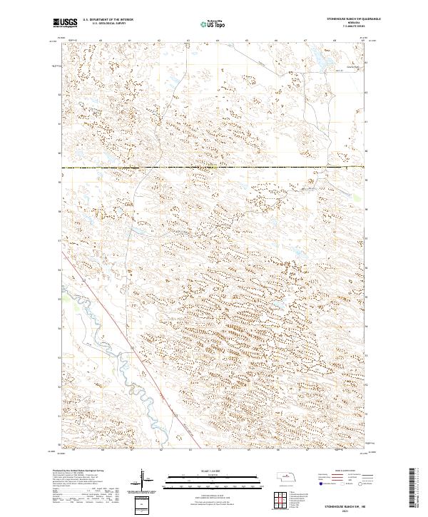 2021 Stonehouse Ranch SW2021 Print · USGSThe Nebraska Sandhills come into focus in the early 2020s as the Calamus River cuts through the border of Rock and Loup counties. Researchers can trace the path of the Calamus River Trl and examine the terrain of Gracie Flats.
 - 2021 Map of Almeria NE, 2021 Print
 2021 Almeria NE2021 Print · USGSThe sandhills of Loup County are documented in the early twenty-first century, centered on the North Loup River corridor. Researchers can trace rural access roads like Lonesome Pine Ave and the terrain of Dry Valley.
 - 2021 Map of Taylor, 2021 Print
 2021 Taylor2021 Print · USGSTaylor and the Loup County valley are captured here in the modern era, showing the village's relationship to the river and its local road network. Genealogists and local historians can locate the Loup County Courthouse, Taylor Cem, and the path of the Taylor-Ord Canal.
 - 2021 Map of Sargent West, 2021 Print
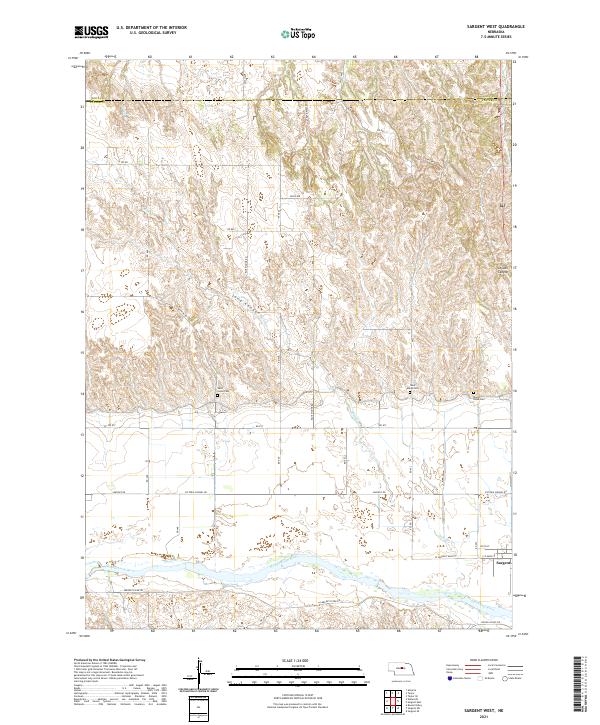 2021 Sargent West2021 Print · USGSCuster County's rural landscape comes into focus during this modern survey of the Loup River valley. Genealogists and local historians can trace burial sites like West Union Cem and Mount Hope Cem near the banks of the Middle Loup River.
 - 2021 Map of Carson Lake, 2021 Print
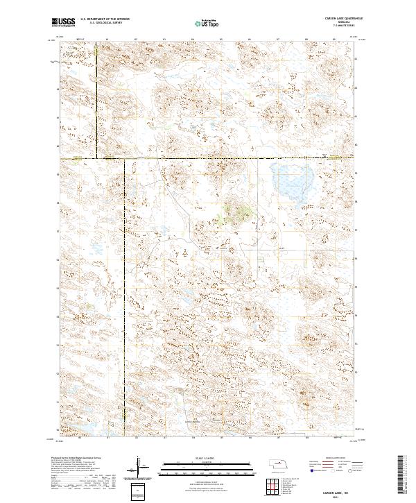 2021 Carson Lake2021 Print · USGSThe Nebraska Sandhills at the meeting of four counties are captured here in the early twenty-first century. Researchers can trace the hydrologic signatures of Carson Lake, follow the path of Big Cedar Cr, and locate family land near Garska Meadow.
 - 2021 Map of Burwell NW, 2021 Print
 2021 Burwell NW2021 Print · USGSThe Nebraska Sandhills come into sharp focus in the early 2020s, revealing a landscape of prairie meadows and seasonal lakes. Researchers can trace the north end of the Calamus Reservoir and find isolated water bodies like Nichol Lake and Bald Lake.
 - 2021 Map of Milburn, 2021 Print
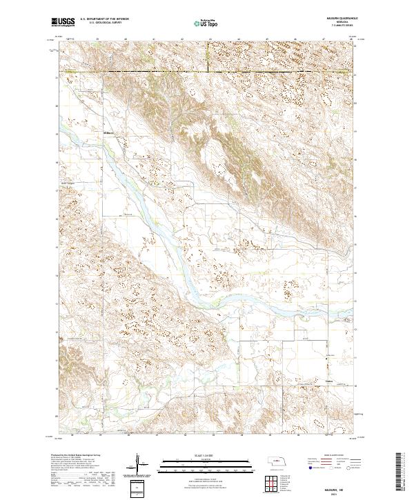 2021 Milburn2021 Print · USGSThe Middle Loup River valley in Custer County remains the heart of this rural landscape in the 2020s. Researchers can trace local roots at Gates Cem and explore the rugged breaks of Cedar Canyon and River Canyon near Milburn.
End of results
Showing maps 1-20 of 20
Top cities of Loup County
Frequently asked questions
- What are the different types of historical maps available for Loup County?
- What is the oldest map of Loup County?
- Where can I purchase historical maps of Loup County for my home or office?
- Where can I download high-res historical maps of Loup County?
- Are there historical topographic maps available for Loup County?
- Is there historical aerial imagery available for Loup County?
- Where are historical maps of Loup County sourced from?