2010s Maps of Loup County, Nebraska
Explore 60 historic maps of Loup County from the 2010s. These maps offer a rare glimpse into what life looked like during the 2010s — showing old roads, neighborhoods, homes, and landmarks that have changed or disappeared over time.
Whether you're researching your family's past, planning a metal detecting trip, or studying how Loup County's landscape evolved across the 2010s, these high-resolution maps are a powerful tool for exploring the history of this region.
- Focus on a specific era: All maps on this page are from the 2010s, giving you a focused view of this time period.
- See what’s changed: Compare century-old streets, trails, and buildings to today's modern landscape using overlays and satellite layers.
- Research with precision: Use these maps for genealogy, historical research, land use analysis, or educational projects.
- View, download, or print: Maps are fully viewable online in high resolution, and can be downloaded or printed for your own records.
Start exploring Loup County's history through authentic maps from the 2010s. This is your window into the past.
Loup County, NE maps
(60)- 2011 Map of Sargent West, 2011 Print
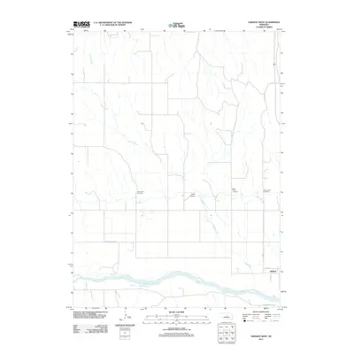 2011 Sargent West2011 Print · USGSCuster County in the early twenty-first century reveals a landscape shaped by the Middle Loup River and the settlement of Sargent. Family researchers can locate three distinct burial grounds: West Union Cemetery, Saint Marys Cemetery, and Mount Hope Cemetery.
 - 2011 Map of Almeria, 2011 Print
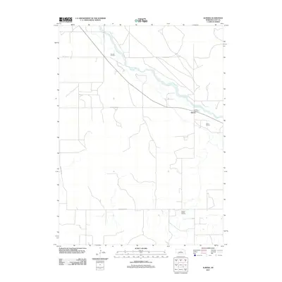 2011 Almeria2011 Print · USGSLoup County’s river-bottom farmland and prairie plateaus are documented here in the early twenty-first century. Researchers can locate family sites and local landmarks like Moulton Cemetery, the Almeria Post Office, and Madison Square Cemetery.
 - 2011 Map of Burwell NW, 2011 Print
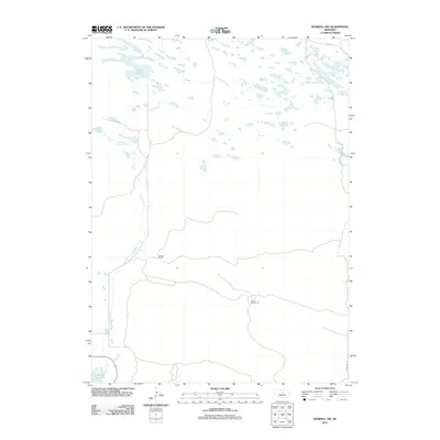 2011 Burwell NW2011 Print · USGSGarfield County rangeland and the upper reaches of the Sandhills are documented here in the early twenty-first century. Researchers can trace rural infrastructure and water sources like School Number 32, Garska Ranch, and the winding Dry Creek.
 - 2011 Map of Almeria SW, 2011 Print
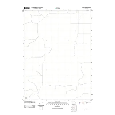 2011 Almeria SW2011 Print · USGSLoup County ranchlands are captured here at the start of the 2010s, showing a remote landscape of sandhills and rural roads. Traces of local aviation and transportation are visible at McMillan Ranch Airport and along Knobby Ridge Rd.
 - 2011 Map of Milburn, 2011 Print
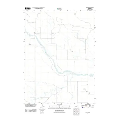 2011 Milburn2011 Print · USGSCuster County settlement patterns are preserved here at the start of the decade, centered on the Middle Loup River valley. Genealogists and local historians can trace the rural hubs of Milburn and Gates, including the Gates Cemetery and local post offices.
 - 2011 Map of Almeria NW, 2011 Print
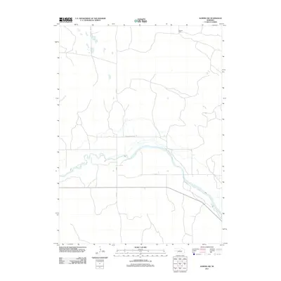 2011 Almeria NW2011 Print · USGSLoup County ranching country is shown here in the early twenty-first century as the cattle-ranching tradition continues along the river. Researchers can trace land boundaries and local transit routes such as Pleasant Valley Rd and the Peterson Ranch along the North Loup River.
 - 2011 Map of Almeria NE, 2011 Print
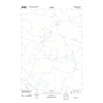 2011 Almeria NE2011 Print · USGSLoup County in the early twenty-first century remains a landscape of open prairie and essential river valleys. Genealogists and local historians can trace rural landmarks like School Number 32 and the path of the North Loup River near Dry Valley.
 - 2011 Map of Walworth, 2011 Print
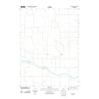 2011 Walworth2011 Print · USGSWalworth and the surrounding Custer County ranchlands are captured here in the early twenty-first century. Researchers can trace the path of the Middle Loup River and locate local landmarks such as Walworth Cemetery and Winnegar Canyon.
 - 2011 Map of Comstock NW, 2011 Print
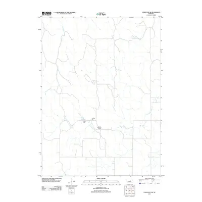 2011 Comstock NW2011 Print · USGSGarfield County at the start of the 2010s shows a landscape of steady agricultural heritage and local landmarks. Genealogists and researchers can locate family sites near the Bohemian Brotherhood Cemetery, Jungmann Hall, and the waters of Sioux Creek.
 - 2011 Map of Taylor NW, 2011 Print
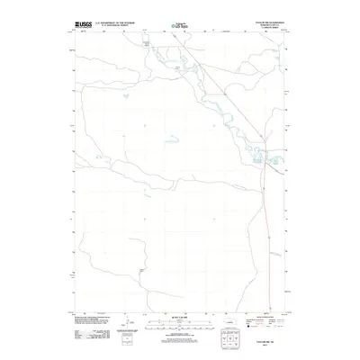 2011 Taylor NW2011 Print · USGSLoup County ranchlands and the winding valley of the Calamus River define this corner of the Nebraska prairie during the early 2010s. Researchers can trace family landmarks like Holmes Ranch or find the former site of rural school districts along Sebesta School Rd.
 - 2011 Map of Taylor NE, 2011 Print
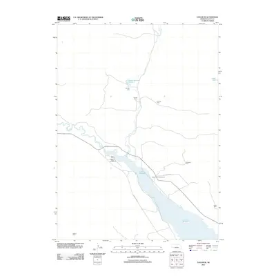 2011 Taylor NE2011 Print · USGSLoup County ranching and recreation are well-documented here in the early twenty-first century, centered on the waters of the Calamus Reservoir. Local researchers can trace family-named landholdings like Scherzberg Ranch and Robbins Ranch or locate campsites at Valleyview Flat Campground.
 - 2011 Map of Carson Lake, 2011 Print
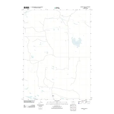 2011 Carson Lake2011 Print · USGSHolt County during the early twenty-first century reveals a landscape defined by its remote water bodies and meadowlands. Local historians can trace the hydrology of Big Cedar Creek and identify landmarks like Carson Lake and Garska Meadow.
 - 2011 Map of Shovel Dot Ranch, 2011 Print
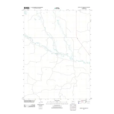 2011 Shovel Dot Ranch2011 Print · USGSLoup County ranchlands and river systems are captured here in the early twenty-first century. Researchers can trace the winding course of the Calamus River and its local tributaries, including Skull Creek and Fox Bayou.
 - 2011 Map of Stonehouse Ranch SW, 2011 Print
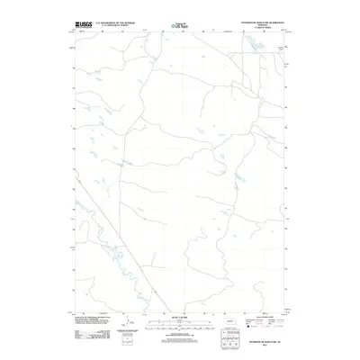 2011 Stonehouse Ranch SW2011 Print · USGSSettlement in the Nebraska Sandhills is captured here during the early twenty-first century, showing a remote landscape shaped by water and ranching. Genealogists and researchers can trace the course of the Calamus River and locate the open plains of Gracie Flats.
 - 2011 Map of Stonehouse Ranch, 2011 Print
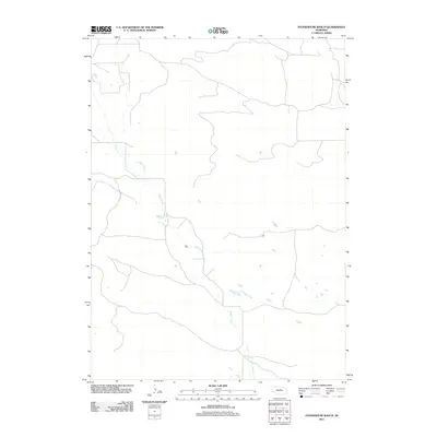 2011 Stonehouse Ranch2011 Print · USGSLoup County ranching country is shown in detail during the early twenty-first century, featuring the winding path of the local waterway. Map users and land researchers can trace the course of Gracie Creek through a landscape of remote roads and seasonal water features.
 - 2011 Map of Boiling Spring, 2011 Print
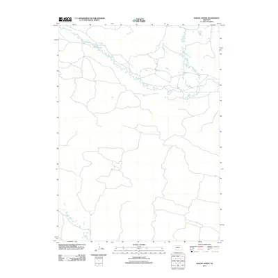 2011 Boiling Spring2011 Print · USGSThe braided valley of the Sandhills comes into focus in this early twenty-first-century survey of Loup County. Researchers can trace the winding course of the Calamus River and the rural route of Co Rd 2-24 as they navigate this sparsely settled landscape.
 - 2011 Map of Burwell, 2011 Print
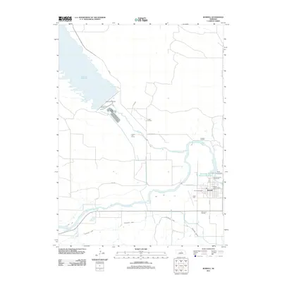 2011 Burwell2011 Print · USGSThe community of Burwell is captured in the early 2010s, showing the intersection of the Calamus River and the high plains irrigation network. Researchers can trace local heritage through Cottonwood Cemetery, Cram Field, and the massive Virginia Smith Dam.
 - 2011 Map of Sargent East, 2011 Print
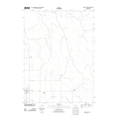 2011 Sargent East2011 Print · USGSSargent and its surrounding Custer County ranchlands are captured here at the start of the twenty-first century, showing a landscape shaped by the Middle Loup River. Local historians can trace specific landmarks like Kent Cemetery, School Number 36, and the winding Taylor-Ord Canal.
 - 2011 Map of Taylor SE, 2011 Print
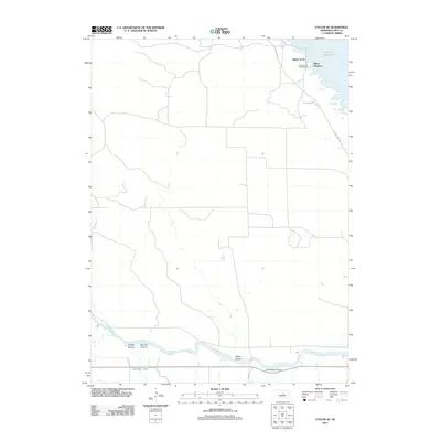 2011 Taylor SE2011 Print · USGSLoup County’s river valley and reservoir shorelines are documented in detail during the early 2010s. Researchers can trace irrigation infrastructure like the Taylor-Ord Canal or locate recreation spots like Aggies Acres and Bohys Canyon.
 - 2011 Map of Taylor, 2011 Print
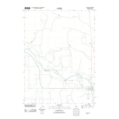 2011 Taylor2011 Print · USGSThe village of Taylor and the surrounding Loup County ranchlands are captured here in the early twenty-first century. Researchers can locate family landmarks like Britton Ranch or trace the path of the Taylor-Ord Canal and the North Loup River.
 - 2014 Map of Sargent East, 2014 Print
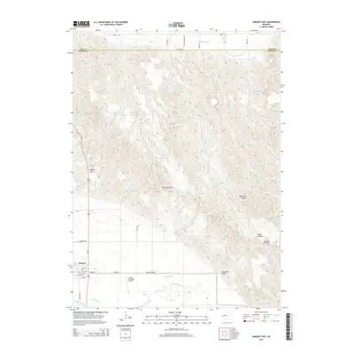 2014 Sargent East2014 Print · USGSSargent and the valley of the Middle Loup River are captured here in the early twenty-first century, showing the transition from town grid to canyon country. Researchers can trace irrigation networks like Taylor-Ord Canal or locate local landmarks including Kent Cem and Divide Hill.
 - 2014 Map of Almeria SW, 2014 Print
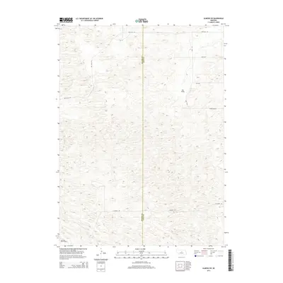 2014 Almeria SW2014 Print · USGSThe ranchlands of Blaine and Loup counties are documented here in the early 2010s, showcasing a landscape of vast dunes and isolated homesteads. Researchers can locate the Mc Millan Ranch Airport and trace the routes of Dry Valley Rd and Knobby Ridge Rd.
 - 2014 Map of Almeria NE, 2014 Print
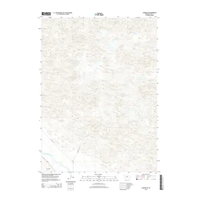 2014 Almeria NE2014 Print · USGSLoup County ranch land meets the Sandhills in the early twenty-first century. Genealogists and researchers can trace the course of the North Loup River and locate rural landmarks like Dry Valley and Lonesome Pine Ave.
 - 2014 Map of Walworth, 2014 Print
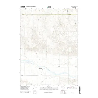 2014 Walworth2014 Print · USGSCuster County ranching country and the river valley near Walworth are captured here in the early twenty-first century. Genealogists and local historians can locate Walworth Cemetery and trace the paths of the Middle Loup River and Winnegar Canyon.
 - 2014 Map of Comstock NW, 2014 Print
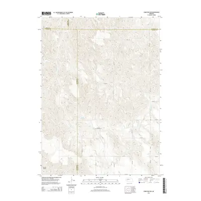 2014 Comstock NW2014 Print · USGSCuster and Garfield counties meet in this 2014 survey of the Nebraska hills, showing a landscape shaped by rural section roads and small water catchments. Researchers can locate the Bohemian Brotherhood Cem and trace the paths of Sioux Cr and N Br Turtle Cr.
Showing maps 1-25 of 60
Top cities of Loup County
Frequently asked questions
- What are the different types of historical maps available for Loup County?
- What is the oldest map of Loup County?
- Where can I purchase historical maps of Loup County for my home or office?
- Where can I download high-res historical maps of Loup County?
- Are there historical topographic maps available for Loup County?
- Is there historical aerial imagery available for Loup County?
- Where are historical maps of Loup County sourced from?