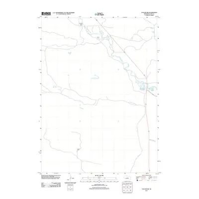
2011 Map of Taylor NW
USGS Topo · Published 2011About this map
The Calamus River carves a winding path through this portion of Loup County, defining a landscape of ranching and remote Nebraska prairie. Evidence of local family-owned landholdings is central to the area's identity, with sites like Upriver Ranch and Holmes Ranch spread across the township. Transport and infrastructure are relatively sparse, anchored by a private landing strip at W Meeks Ranch Airport and the single corridor of Highway 183.
Find a feature on this map
8 named features on this map. Tap any name to fly to it.
Don’t see what you’re looking for? This feature index may not catch every label — zoom into the map to look around manually.
Map Details
Editions of this 2011 Taylor NW Map
This is the sole edition of this map. No revisions or reprints were ever made.
Other maps of this area

1952 · Taylor NW
USGS Topo · 1:24,000

1952 · Almeria NE
USGS Topo · 1:24,000

1952 · Taylor SE
USGS Topo · 1:24,000

1952 · Almeria
USGS Topo · 1:24,000

1952 · Taylor
USGS Topo · 1:24,000

1952 · Taylor NE
USGS Topo · 1:24,000

1955 · Broken Bow
USGS Topo · 1:250,000

1955 · O'Neill
USGS Topo · 1:250,000

1956 · Broken Bow
USGS Topo · 1:250,000

1959 · O'Neill
USGS Topo · 1:250,000