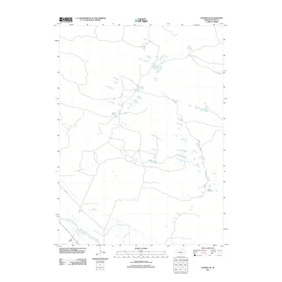
2011 Map of Almeria NE
USGS Topo · Published 2011About this map
The North Loup River winds through the southwestern corner of this Nebraska landscape, providing a critical water source for the surrounding prairie. This 2011 survey by the U.S. Geological Survey captures the sparse, rural character of Loup County, where geographic life is centered around the river valley and occasional educational landmarks like School Number 32. The terrain is defined by the broad Dry Valley, which sits adjacent to the river's path, and a network of section-line roads and tracks such as W End Rd that facilitate travel across the expansive open country. This modern topographical study illustrates the enduring spatial patterns of the Nebraska Sandhills, where large tracts of land remain dedicated to ranching and local rural schools serve as the primary anchors for the community.
Find a feature on this map
4 named features on this map. Tap any name to fly to it.
Don’t see what you’re looking for? This feature index may not catch every label — zoom into the map to look around manually.
Map Details
Editions of this 2011 Almeria NE Map
This is the sole edition of this map. No revisions or reprints were ever made.
Other maps of this area

1952 · Taylor NW
USGS Topo · 1:24,000

1952 · Almeria NE
USGS Topo · 1:24,000

1952 · Almeria NW
USGS Topo · 1:24,000

1952 · Almeria SW
USGS Topo · 1:24,000

1952 · Almeria
USGS Topo · 1:24,000

1952 · Taylor
USGS Topo · 1:24,000

1955 · Broken Bow
USGS Topo · 1:250,000

1955 · O'Neill
USGS Topo · 1:250,000

1956 · Broken Bow
USGS Topo · 1:250,000

1959 · O'Neill
USGS Topo · 1:250,000